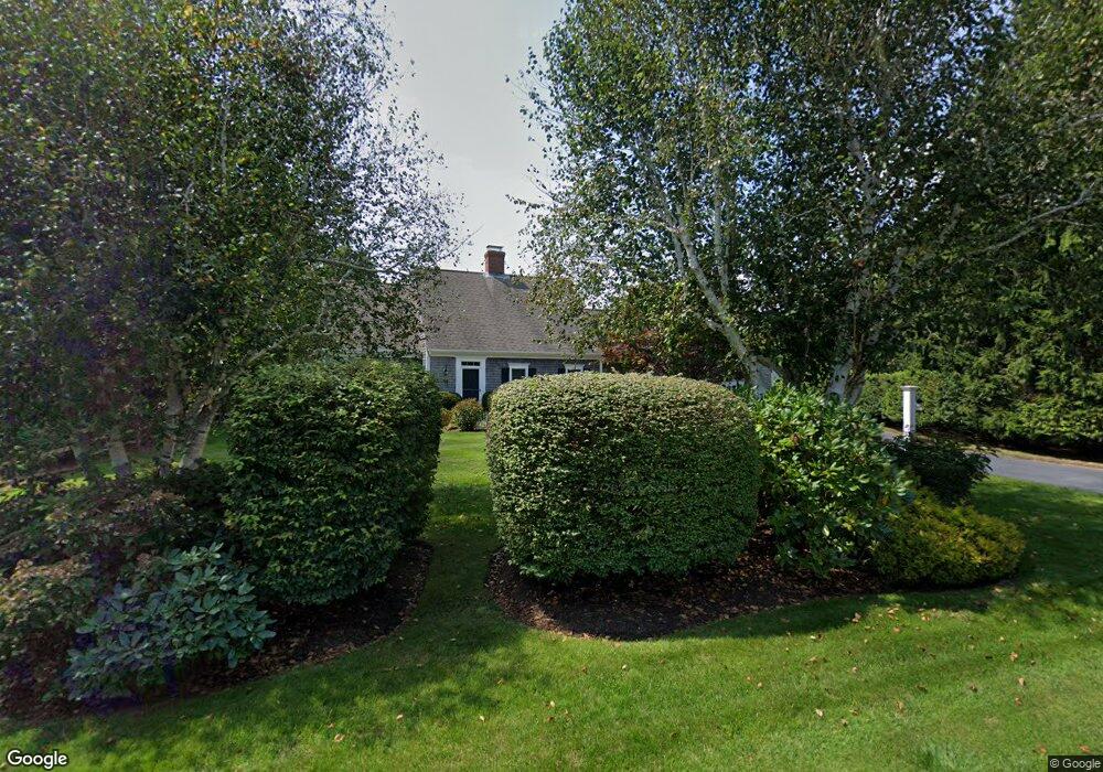
42 Linden Tree Ln Chatham, MA 02633
West Chatham NeighborhoodEstimated Value: $1,313,000 - $1,868,000
3
Beds
3
Baths
1,801
Sq Ft
$898/Sq Ft
Est. Value
About This Home
This home is located at 42 Linden Tree Ln, Chatham, MA 02633 and is currently estimated at $1,617,294, approximately $897 per square foot. 42 Linden Tree Ln is a home located in Barnstable County with nearby schools including Chatham Elementary School, Harwich Elementary School, and Monomoy Regional Middle School.
Ownership History
Date
Name
Owned For
Owner Type
Purchase Details
Closed on
Jul 30, 1999
Sold by
Cannata Robert and Cannata Patricia R
Bought by
Burke Thomas and Burke Anne
Current Estimated Value
Home Financials for this Owner
Home Financials are based on the most recent Mortgage that was taken out on this home.
Original Mortgage
$60,000
Outstanding Balance
$14,940
Interest Rate
7.61%
Mortgage Type
Purchase Money Mortgage
Estimated Equity
$1,602,354
Create a Home Valuation Report for This Property
The Home Valuation Report is an in-depth analysis detailing your home's value as well as a comparison with similar homes in the area
Home Values in the Area
Average Home Value in this Area
Purchase History
| Date | Buyer | Sale Price | Title Company |
|---|---|---|---|
| Burke Thomas | $340,000 | -- |
Source: Public Records
Mortgage History
| Date | Status | Borrower | Loan Amount |
|---|---|---|---|
| Open | Burke Thomas | $60,000 |
Source: Public Records
Tax History
| Year | Tax Paid | Tax Assessment Tax Assessment Total Assessment is a certain percentage of the fair market value that is determined by local assessors to be the total taxable value of land and additions on the property. | Land | Improvement |
|---|---|---|---|---|
| 2025 | $4,360 | $1,256,500 | $580,400 | $676,100 |
| 2024 | $4,262 | $1,193,900 | $547,500 | $646,400 |
| 2023 | $4,048 | $1,043,200 | $456,200 | $587,000 |
| 2022 | $4,009 | $867,700 | $456,200 | $411,500 |
| 2021 | $3,954 | $793,900 | $414,700 | $379,200 |
| 2020 | $3,848 | $798,300 | $414,700 | $383,600 |
| 2019 | $3,764 | $776,000 | $387,700 | $388,300 |
| 2018 | $3,464 | $711,300 | $354,400 | $356,900 |
| 2017 | $3,495 | $694,900 | $344,000 | $350,900 |
| 2016 | $3,441 | $685,500 | $337,400 | $348,100 |
| 2015 | $3,343 | $669,900 | $327,800 | $342,100 |
| 2014 | $3,397 | $668,700 | $327,800 | $340,900 |
Source: Public Records
Map
Nearby Homes
- 92 Absegami Run
- 55 Christopher Harding Ln
- 6 Munson Meeting Way Unit 894
- 6 Munson Meeting Way
- 70 Old Queen Anne Rd
- 912 Main St Unit 308
- 33 Crowell Rd
- 99 Uncle Alberts Drive Extension
- 100 Heritage Ln
- 1239 Main St Unit 18
- 32 Tip Cart Dr
- 118 Wilfred Rd
- 231 Crowell Rd
- 243 Crowell Rd
- 66 Ethelma Dr
- 14 Pond View Ln
- 27 Martha Kendrick Dr
- 50 Eldredge Square S
- 8 Kingsbury Way
- 39 Meadow Brook Rd
- 0 Linden Tree Ln L:47
- 34 Linden Tree Ln
- 67 Lime Hill Rd
- 55 Lime Hill Rd
- 47 Linden Tree Ln
- 64 Linden Tree Ln
- 55 Linden Tree Ln
- 73 Lime Hill Rd
- 47 Lime Hill Rd
- 85 Linden Tree Ln
- 78 Linden Tree Ln
- 0 Linden Tree Ln
- 39 Lime Hill Rd
- 64 Lime Hill Rd
- 73 Linden Tree Ln
- 52 Lime Hill Rd
- 0 Lime Hill Rd
- 51 Lime Hill Rd
- 5 Lime Hill Rd
- 56 Lime Hill Rd
Your Personal Tour Guide
Ask me questions while you tour the home.