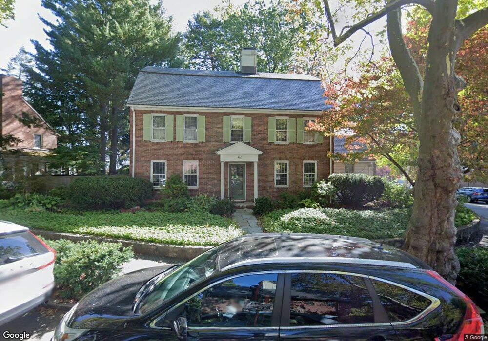
42 Lowell Rd Brookline, MA 02445
Brookline Village NeighborhoodEstimated Value: $2,260,000 - $3,546,000
4
Beds
4
Baths
3,332
Sq Ft
$854/Sq Ft
Est. Value
About This Home
This home is located at 42 Lowell Rd, Brookline, MA 02445 and is currently estimated at $2,844,103, approximately $853 per square foot. 42 Lowell Rd is a home located in Norfolk County with nearby schools including Pierce School, Brookline High School, and Maimonides School.
Ownership History
Date
Name
Owned For
Owner Type
Purchase Details
Closed on
Aug 23, 2023
Sold by
Wayne Diamond 2002 Ret and Diamond
Bought by
Wayne Diamond 2023 Irt and Guillemin
Current Estimated Value
Purchase Details
Closed on
Feb 2, 2018
Sold by
Diamond Wayne
Bought by
Wayne Diamond 2002 Ret and Diamond
Purchase Details
Closed on
Dec 15, 1998
Sold by
Budge Donald
Bought by
Diamond Wayne and Diamond Carole
Home Financials for this Owner
Home Financials are based on the most recent Mortgage that was taken out on this home.
Original Mortgage
$200,000
Interest Rate
6.8%
Mortgage Type
Purchase Money Mortgage
Create a Home Valuation Report for This Property
The Home Valuation Report is an in-depth analysis detailing your home's value as well as a comparison with similar homes in the area
Home Values in the Area
Average Home Value in this Area
Purchase History
| Date | Buyer | Sale Price | Title Company |
|---|---|---|---|
| Wayne Diamond 2023 Irt | -- | None Available | |
| Wayne Diamond 2002 Ret | -- | -- | |
| Diamond Wayne | $528,000 | -- |
Source: Public Records
Mortgage History
| Date | Status | Borrower | Loan Amount |
|---|---|---|---|
| Previous Owner | Diamond Wayne | $200,000 |
Source: Public Records
Tax History
| Year | Tax Paid | Tax Assessment Tax Assessment Total Assessment is a certain percentage of the fair market value that is determined by local assessors to be the total taxable value of land and additions on the property. | Land | Improvement |
|---|---|---|---|---|
| 2025 | $27,498 | $2,786,000 | $1,542,700 | $1,243,300 |
| 2024 | $26,196 | $2,681,300 | $1,483,300 | $1,198,000 |
| 2023 | $23,559 | $2,363,000 | $1,188,200 | $1,174,800 |
| 2022 | $22,933 | $2,250,500 | $1,131,600 | $1,118,900 |
| 2021 | $21,206 | $2,163,900 | $1,088,100 | $1,075,800 |
| 2020 | $19,375 | $2,050,300 | $989,200 | $1,061,100 |
| 2019 | $18,297 | $1,952,700 | $942,100 | $1,010,600 |
| 2018 | $16,872 | $1,783,500 | $785,100 | $998,400 |
| 2017 | $16,623 | $1,682,500 | $740,600 | $941,900 |
| 2016 | $16,380 | $1,572,000 | $692,200 | $879,800 |
| 2015 | $15,379 | $1,440,000 | $646,900 | $793,100 |
| 2014 | $14,927 | $1,310,500 | $539,100 | $771,400 |
Source: Public Records
Map
Nearby Homes
- 75 Greenough St Unit 2
- 71 Greenough St Unit 71-1
- 140 Sumner Rd Unit 1
- 441 Washington St Unit 5
- 24 Blake Rd
- 401 Washington St Unit 6
- 11 Goodwin Place Unit 1
- 11 Goodwin Place Unit 11-1
- 11 Goodwin Place Unit 11-2
- 12 Goodwin Place Unit 12-1
- 12 Goodwin Place Unit 12-2
- 370 Washington St
- 8 Leverett St Unit 3
- 12 Thayer St
- 15 Colbourne Crescent Unit 2
- 84 Winthrop Rd Unit 1
- 84 Winthrop Rd
- 101 Winthrop Rd Unit 1
- 80 Park St Unit 75
- 89 University Rd
- 32 Lowell Rd
- 37 Lowell Rd
- 87 Greenough St
- 29 Lowell Rd
- 81 Greenough St
- 79 Greenough St
- 22 Lowell Rd
- 75 Greenough St
- 75 Greenough St
- 75 Greenough St
- 75 Greenough St Unit 1
- 75 Greenough St Unit PH
- 21 Lowell Rd
- 71 Greenough St
- 71 Greenough St Unit 1
- 71 Greenough St Unit B
- 71 Greenough St Unit PH
- 70 Welland Rd
- 64 Welland Rd
- 80 Greenough St
Your Personal Tour Guide
Ask me questions while you tour the home.