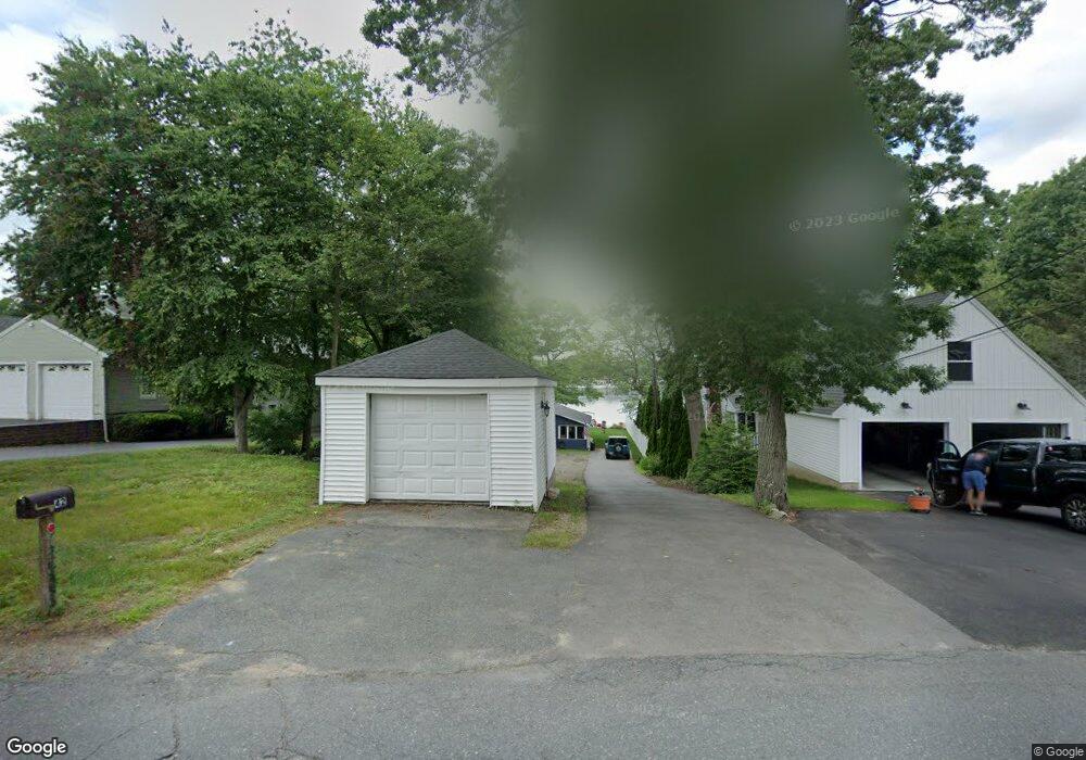
42 Macarthur Dr Millbury, MA 01527
Estimated Value: $438,000 - $494,000
3
Beds
1
Bath
1,064
Sq Ft
$441/Sq Ft
Est. Value
About This Home
This home is located at 42 Macarthur Dr, Millbury, MA 01527 and is currently estimated at $469,499, approximately $441 per square foot. 42 Macarthur Dr is a home located in Worcester County with nearby schools including Elmwood Street Elementary School, Raymond E. Shaw Elementary School, and Millbury Junior/Senior High School.
Ownership History
Date
Name
Owned For
Owner Type
Purchase Details
Closed on
May 5, 2008
Sold by
Gagnon Kenneth L and Gagnon Mary P
Bought by
Hakala Deborah
Current Estimated Value
Create a Home Valuation Report for This Property
The Home Valuation Report is an in-depth analysis detailing your home's value as well as a comparison with similar homes in the area
Home Values in the Area
Average Home Value in this Area
Purchase History
| Date | Buyer | Sale Price | Title Company |
|---|---|---|---|
| Hakala Deborah | -- | -- | |
| Hakala Deborah | -- | -- |
Source: Public Records
Mortgage History
| Date | Status | Borrower | Loan Amount |
|---|---|---|---|
| Open | Hakala Deborah | $30,000 | |
| Previous Owner | Hakala Deborah | $60,000 |
Source: Public Records
Tax History
| Year | Tax Paid | Tax Assessment Tax Assessment Total Assessment is a certain percentage of the fair market value that is determined by local assessors to be the total taxable value of land and additions on the property. | Land | Improvement |
|---|---|---|---|---|
| 2025 | $7,074 | $528,287 | $353,487 | $174,800 |
| 2024 | $6,490 | $490,550 | $327,550 | $163,000 |
| 2023 | $4,749 | $328,678 | $169,478 | $159,200 |
| 2022 | $4,677 | $311,778 | $169,478 | $142,300 |
| 2021 | $4,724 | $306,178 | $169,478 | $136,700 |
| 2020 | $4,139 | $270,000 | $141,200 | $128,800 |
| 2019 | $4,167 | $262,900 | $128,500 | $134,400 |
| 2018 | $3,909 | $239,200 | $128,500 | $110,700 |
| 2017 | $3,698 | $225,100 | $128,500 | $96,600 |
| 2016 | $3,597 | $218,500 | $128,500 | $90,000 |
| 2015 | $3,661 | $222,400 | $136,600 | $85,800 |
| 2014 | $2,907 | $170,000 | $99,000 | $71,000 |
Source: Public Records
Map
Nearby Homes
- 48 Macarthur Dr
- 2 Diane St
- 12 Irene Ct
- 8 Nightview Place
- 2 Wilson Rd Unit B
- 2 Wilson Rd Unit A
- 300 Millbury Ave
- 2 Riverlin Pkwy
- 7 Barbara St
- 5 Ann Dr Unit 5
- 11 Maplewood Rd
- 5 Lincoln Ln Unit 5
- 1459 Grafton Rd
- 16 Amherst St
- 6 Nathaniel St
- 20 Woodridge Rd
- 46 Lexington Rd
- 8 Lincoln Ave
- 7 Clarissa St
- 17 Lincoln Ave
- 44 Macarthur Dr
- 40 Macarthur Dr
- 46 Macarthur Dr
- 38 Macarthur Dr
- 50 Macarthur Dr
- 41 Macarthur Dr
- 34 Macarthur Dr
- 43 Macarthur Dr
- 35 Macarthur Dr
- 52 Macarthur Dr
- 1 Montgomery Dr
- 47 Macarthur Dr
- 28 Macarthur Dr
- 54 Macarthur Dr
- 49 Macarthur Dr
- 31 Macarthur Dr
- 56A Macarthur Dr
- 56B Macarthur Dr
- 10 Rollie Shepard Dr
- 53 Macarthur Dr
Your Personal Tour Guide
Ask me questions while you tour the home.