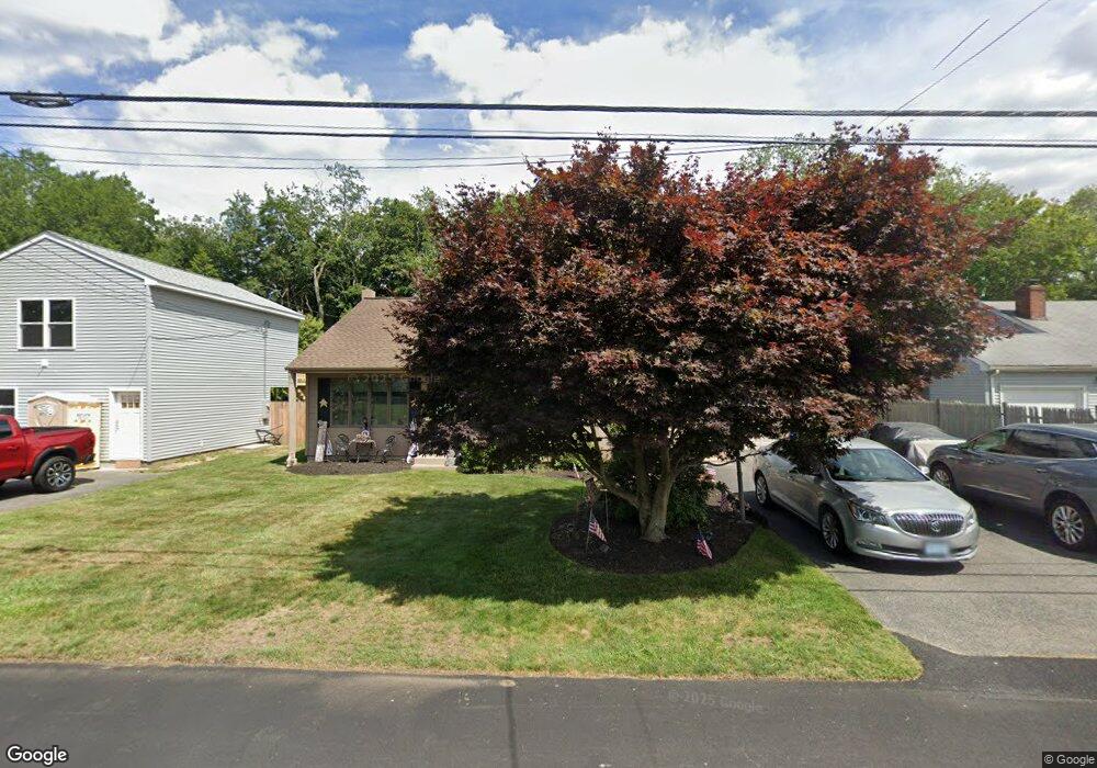
42 Manning Dr Riverside, RI 02915
Kent Heights NeighborhoodEstimated Value: $441,000 - $523,000
2
Beds
2
Baths
1,600
Sq Ft
$298/Sq Ft
Est. Value
About This Home
This home is located at 42 Manning Dr, Riverside, RI 02915 and is currently estimated at $477,116, approximately $298 per square foot. 42 Manning Dr is a home located in Providence County with nearby schools including East Providence High School, St Mary Academy-Bay View, and The Gordon School.
Ownership History
Date
Name
Owned For
Owner Type
Purchase Details
Closed on
May 27, 1997
Sold by
Santos Jose S and Santos Maria
Bought by
Cabral Carl S and Amaral Emma V
Current Estimated Value
Purchase Details
Closed on
Dec 22, 1992
Sold by
Camille Stephen E and Camille Maria
Bought by
Santos Jose S and Santos Maria
Create a Home Valuation Report for This Property
The Home Valuation Report is an in-depth analysis detailing your home's value as well as a comparison with similar homes in the area
Home Values in the Area
Average Home Value in this Area
Purchase History
| Date | Buyer | Sale Price | Title Company |
|---|---|---|---|
| Cabral Carl S | $125,000 | -- | |
| Santos Jose S | $125,000 | -- | |
| Cabral Carl S | $125,000 | -- | |
| Santos Jose S | $125,000 | -- |
Source: Public Records
Mortgage History
| Date | Status | Borrower | Loan Amount |
|---|---|---|---|
| Open | Santos Jose S | $53,870 | |
| Open | Santos Jose S | $187,700 | |
| Closed | Santos Jose S | $170,100 |
Source: Public Records
Tax History
| Year | Tax Paid | Tax Assessment Tax Assessment Total Assessment is a certain percentage of the fair market value that is determined by local assessors to be the total taxable value of land and additions on the property. | Land | Improvement |
|---|---|---|---|---|
| 2025 | $5,629 | $430,700 | $138,900 | $291,800 |
| 2024 | $5,346 | $348,700 | $115,900 | $232,800 |
| 2023 | $5,147 | $348,700 | $115,900 | $232,800 |
| 2022 | $4,468 | $204,400 | $59,200 | $145,200 |
| 2021 | $4,395 | $204,400 | $58,100 | $146,300 |
| 2020 | $4,209 | $204,400 | $58,100 | $146,300 |
| 2019 | $4,092 | $204,400 | $58,100 | $146,300 |
| 2018 | $4,313 | $188,500 | $59,400 | $129,100 |
| 2017 | $4,217 | $188,500 | $59,400 | $129,100 |
| 2016 | $4,196 | $188,500 | $59,400 | $129,100 |
| 2015 | $4,388 | $191,200 | $52,400 | $138,800 |
| 2014 | $4,388 | $191,200 | $52,400 | $138,800 |
Source: Public Records
Map
Nearby Homes
- 53 Wampanoag Trail
- 34 Commack Rd
- 2941 Pawtucket Ave
- 106 Wannamoisett Rd
- 14 Waterview Ave Unit 16
- 29 Ide Ave
- 77 Gardiner Ave
- 50 Kettle Point Ave Unit 50
- 151 Dover Ave
- 74 Brookhaven Dr
- 26 Callender Ave
- 6 Fuller Ave
- 158 S Rose St
- 191 S Spruce St
- 25 Bullocks Point Ave Unit 5C
- 43 Bullocks Point Ave Unit 4A
- 33 Bullocks Point Ave Unit 5C
- 151 Willett Ave Unit 2
- 30 Fuller St
- 25 Arnold St
Your Personal Tour Guide
Ask me questions while you tour the home.