42 Marbridge Ct North Barrington, IL 60010
Wynstone NeighborhoodEstimated Value: $1,777,000 - $2,493,000
--
Bed
8
Baths
8,952
Sq Ft
$228/Sq Ft
Est. Value
About This Home
This home is located at 42 Marbridge Ct, North Barrington, IL 60010 and is currently estimated at $2,039,061, approximately $227 per square foot. 42 Marbridge Ct is a home located in Lake County with nearby schools including North Barrington Elementary School, Barrington Middle School Station Campus, and Barrington High School.
Ownership History
Date
Name
Owned For
Owner Type
Purchase Details
Closed on
Oct 27, 1994
Sold by
Firstar Bank North Shore
Bought by
Hewitt John and Hewitt Valerie
Current Estimated Value
Home Financials for this Owner
Home Financials are based on the most recent Mortgage that was taken out on this home.
Original Mortgage
$250,000
Interest Rate
9.06%
Create a Home Valuation Report for This Property
The Home Valuation Report is an in-depth analysis detailing your home's value as well as a comparison with similar homes in the area
Home Values in the Area
Average Home Value in this Area
Purchase History
| Date | Buyer | Sale Price | Title Company |
|---|---|---|---|
| Hewitt John | $380,000 | -- |
Source: Public Records
Mortgage History
| Date | Status | Borrower | Loan Amount |
|---|---|---|---|
| Closed | Hewitt John | $250,000 |
Source: Public Records
Tax History Compared to Growth
Tax History
| Year | Tax Paid | Tax Assessment Tax Assessment Total Assessment is a certain percentage of the fair market value that is determined by local assessors to be the total taxable value of land and additions on the property. | Land | Improvement |
|---|---|---|---|---|
| 2024 | $36,577 | $567,979 | $90,480 | $477,499 |
| 2023 | $33,395 | $487,565 | $77,670 | $409,895 |
| 2022 | $33,395 | $442,082 | $87,869 | $354,213 |
| 2021 | $30,219 | $396,759 | $86,375 | $310,384 |
| 2020 | $29,531 | $395,533 | $86,108 | $309,425 |
| 2019 | $33,784 | $460,647 | $83,836 | $376,811 |
| 2018 | $36,331 | $489,926 | $90,058 | $399,868 |
| 2017 | $35,529 | $480,084 | $88,249 | $391,835 |
| 2016 | $35,095 | $461,974 | $84,920 | $377,054 |
| 2015 | $30,727 | $457,496 | $79,647 | $377,849 |
| 2014 | $38,899 | $526,192 | $89,632 | $436,560 |
| 2012 | $37,512 | $535,238 | $91,173 | $444,065 |
Source: Public Records
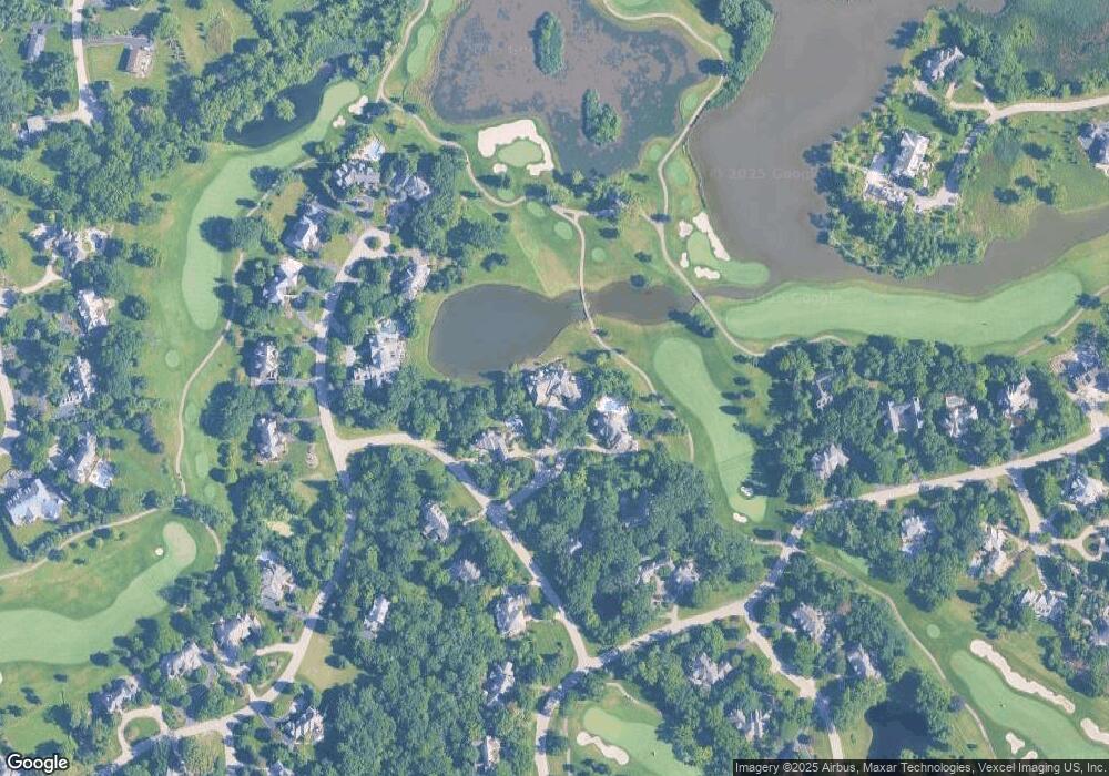
Map
Nearby Homes
- 1 Kensington Dr
- 96 S Wynstone Dr
- 115 Red Wing Ln
- 83 S Wynstone Dr
- 35 Riderwood Rd
- 39 Deverell Dr
- 15 S Wynstone Dr
- 12 Riderwood Rd
- 47 S Wynstone Dr
- 431 E Oakwood Dr
- 132 N Wynstone Dr Unit W
- 431 Maplewood Dr
- 24334 N Grandview Dr
- 25171 N Virginia Ave
- 729 Old Barn Rd Unit C
- 535 Woodview Rd
- 660 Old Barn Rd Unit F-24
- 68 Thornhill Ln
- 220 Thornhill Ct Unit D
- 111 Stone Marsh Ln
- 44 Marbridge Ct
- 32 Duxbury Dr
- 57 Hillburn Ln
- 55 Hillburn Ln
- 43 Marbridge Ct
- 41 Marbridge Ct
- 35 Duxbury Dr
- 33 Duxbury Dr
- 59 Hillburn Ln
- 31 Duxbury Dr
- 22 Hidden Brook Dr
- 58 Hillburn Ln
- 52 Hillburn Ln
- 54 Hillburn Ln
- 50 Hillburn Ln
- 56 Hillburn Ln
- 20 Hidden Brook Dr
- 60 Hillburn Ln
- 61 Hillburn Ln
- 14 Hidden Brook Dr