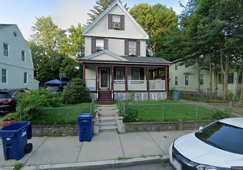
42 Massasoit St Mattapan, MA 02126
Hyde Park NeighborhoodEstimated Value: $522,000 - $677,088
3
Beds
1
Bath
1,420
Sq Ft
$434/Sq Ft
Est. Value
About This Home
This home is located at 42 Massasoit St, Mattapan, MA 02126 and is currently estimated at $615,772, approximately $433 per square foot. 42 Massasoit St is a home located in Suffolk County with nearby schools including Boston Preparatory Charter Public School and St. Mary of the Hills School.
Ownership History
Date
Name
Owned For
Owner Type
Purchase Details
Closed on
Dec 31, 2018
Sold by
Delouis Jean M and Etienne-Delouis Marie
Bought by
Narvaez Angel L
Current Estimated Value
Home Financials for this Owner
Home Financials are based on the most recent Mortgage that was taken out on this home.
Original Mortgage
$334,650
Outstanding Balance
$295,408
Interest Rate
4.8%
Mortgage Type
New Conventional
Estimated Equity
$320,364
Purchase Details
Closed on
Jul 14, 2000
Sold by
Cummings Helen L
Bought by
Delouis Jean M and Delouis Marie
Home Financials for this Owner
Home Financials are based on the most recent Mortgage that was taken out on this home.
Original Mortgage
$150,757
Interest Rate
8.5%
Mortgage Type
Purchase Money Mortgage
Create a Home Valuation Report for This Property
The Home Valuation Report is an in-depth analysis detailing your home's value as well as a comparison with similar homes in the area
Home Values in the Area
Average Home Value in this Area
Purchase History
| Date | Buyer | Sale Price | Title Company |
|---|---|---|---|
| Narvaez Angel L | $345,000 | -- | |
| Delouis Jean M | $152,000 | -- |
Source: Public Records
Mortgage History
| Date | Status | Borrower | Loan Amount |
|---|---|---|---|
| Open | Narvaez Angel L | $334,650 | |
| Previous Owner | Delouis Jean M | $210,000 | |
| Previous Owner | Delouis Jean M | $150,757 |
Source: Public Records
Tax History
| Year | Tax Paid | Tax Assessment Tax Assessment Total Assessment is a certain percentage of the fair market value that is determined by local assessors to be the total taxable value of land and additions on the property. | Land | Improvement |
|---|---|---|---|---|
| 2025 | $5,421 | $468,100 | $186,100 | $282,000 |
| 2024 | $4,978 | $456,700 | $180,500 | $276,200 |
| 2023 | $4,542 | $422,900 | $167,200 | $255,700 |
| 2022 | $4,300 | $395,200 | $156,200 | $239,000 |
| 2021 | $3,843 | $360,200 | $150,200 | $210,000 |
| 2020 | $3,998 | $378,600 | $157,800 | $220,800 |
| 2019 | $3,619 | $343,400 | $123,100 | $220,300 |
| 2018 | $3,427 | $327,000 | $123,100 | $203,900 |
| 2017 | $3,178 | $300,100 | $123,100 | $177,000 |
| 2016 | $3,114 | $283,100 | $123,100 | $160,000 |
| 2015 | $2,463 | $203,400 | $93,400 | $110,000 |
| 2014 | -- | $188,000 | $93,400 | $94,600 |
Source: Public Records
Map
Nearby Homes
- 30 Massasoit St
- 16 Concord Ave Unit 1
- 640 River St
- 24 Belnel Rd
- 645 River St
- 75-77 Belnel Rd
- 82 Blue Hill Ave
- 23 Caton St
- 29/31 Belvoir Rd
- 27 Ralwood Rd
- 7 Winborough St
- 16 Blue Hill Ave
- 80 Blue Hills Pkwy
- 168 Brook Rd
- 106 Lewiston St
- 853 Cummins Hwy
- 73 Hudson St
- 52 Taunton Ave
- 214 Brook Rd
- 770 Cummins Hwy Unit 1
- 42 Massasoit St
- 46 Massasoit St
- 38 Massasoit St
- 50 Massasoit St
- 50 Massasoit St
- 50 Massasoit St Unit B
- 50 Massasoit St
- 34 Massasoit St
- 35 Holmfield Ave
- 43 Massasoit St Unit 1
- 79 Holmfield Ave
- 39 Massasoit St
- 27 Holmfield Ave
- 30 Massasoit St
- 33 Massasoit St Unit 1
- 33 Massasoit St Unit 35
- 23 Holmfield Ave
- 23 Holmfield Ave
- 31 Massasoit St
- 26 Massasoit St
Your Personal Tour Guide
Ask me questions while you tour the home.