42 McFarland Shore Rd New Harbor, ME 04554
Estimated Value: $2,317,516
3
Beds
3
Baths
1,619
Sq Ft
$1,431/Sq Ft
Est. Value
About This Home
This home is located at 42 McFarland Shore Rd, New Harbor, ME 04554 and is currently estimated at $2,317,516, approximately $1,431 per square foot. 42 McFarland Shore Rd is a home located in Lincoln County with nearby schools including Bristol Consolidated School.
Ownership History
Date
Name
Owned For
Owner Type
Purchase Details
Closed on
Sep 12, 2019
Sold by
Cullen David J and Cullen Kathy S
Bought by
42 Mcfarland Shore Rd Rt
Current Estimated Value
Purchase Details
Closed on
Nov 7, 2012
Sold by
David J Cullen T
Bought by
Cullen Kathy S and Cullen David J
Create a Home Valuation Report for This Property
The Home Valuation Report is an in-depth analysis detailing your home's value as well as a comparison with similar homes in the area
Home Values in the Area
Average Home Value in this Area
Purchase History
| Date | Buyer | Sale Price | Title Company |
|---|---|---|---|
| 42 Mcfarland Shore Rd Rt | -- | -- | |
| Cullen Kathy S | -- | -- |
Source: Public Records
Tax History Compared to Growth
Tax History
| Year | Tax Paid | Tax Assessment Tax Assessment Total Assessment is a certain percentage of the fair market value that is determined by local assessors to be the total taxable value of land and additions on the property. | Land | Improvement |
|---|---|---|---|---|
| 2024 | $11,342 | $1,274,400 | $700,000 | $574,400 |
| 2023 | $10,131 | $1,274,400 | $700,000 | $574,400 |
| 2022 | $9,176 | $1,274,400 | $700,000 | $574,400 |
| 2021 | $9,176 | $1,274,400 | $700,000 | $574,400 |
| 2020 | $9,239 | $1,274,400 | $700,000 | $574,400 |
| 2019 | $8,602 | $1,274,400 | $700,000 | $574,400 |
| 2018 | $7,965 | $1,274,400 | $700,000 | $574,400 |
| 2017 | $7,965 | $1,274,400 | $700,000 | $574,400 |
| 2016 | $8,004 | $1,013,200 | $607,500 | $405,700 |
| 2015 | $8,562 | $1,013,200 | $607,500 | $405,700 |
| 2014 | $8,004 | $1,013,200 | $607,500 | $405,700 |
| 2013 | $7,802 | $1,013,200 | $607,500 | $405,700 |
Source: Public Records
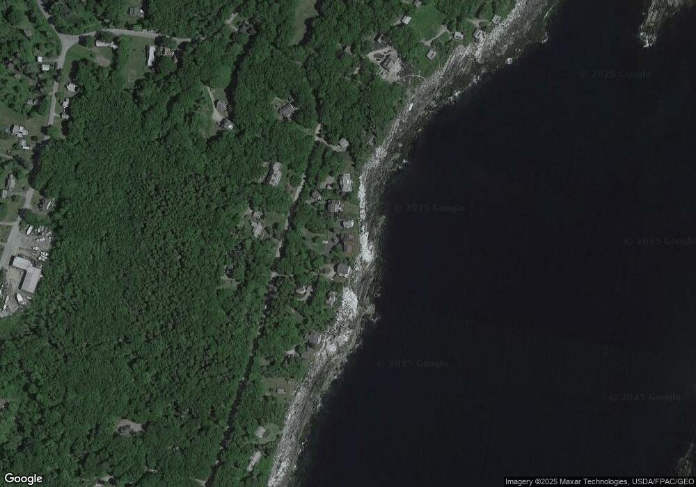
Map
Nearby Homes
- 69 McFarland Shore Rd
- 82 Southside Rd
- 147 Maine 32
- 146 State Route 32
- 5 Penniman Rd
- 2700 Bristol Rd
- M2-L55F Bristol Rd
- 2593 Bristol Rd
- Lot 5 Jack's Ln
- Lot 4 Jack's Ln
- 67 Huddle Rd
- 40 Eastwood Ct
- M2A-L45B3 Huddle Rd
- 49 Seawood Park Rd
- 145 Huddle Rd
- 25 & 26 Maine 32
- 36 Eastwood Ct
- Lot 13 Nahanada Rd
- Lot 11 Nahanada Rd
- 82 Pemaquid Trail
- 38 McFarland Shore Rd
- 52 McFarland Shore Rd
- 71 McFarland Shore Rd
- 20 McFarland Shore Rd
- 18 McFarland Shore Rd
- 20 Pounds Rd
- 64 McFarland Shore Rd
- 8 Pounds Rd
- 83 Leeman Hill Rd
- 82 McFarland Shore Rd
- 89 Leeman Hill Rd
- 77 Leeman Hill Rd
- 75 Leeman Hill Rd
- 12 Hillcrest Farm Rd
- 29 Dans Cottage Rd
- 26 Rodgers Rd
- 67 Leeman Hill Rd
- 9 Dans Cottage Rd
- 10 Rodgers Rd
- 74 Leeman Hill Rd