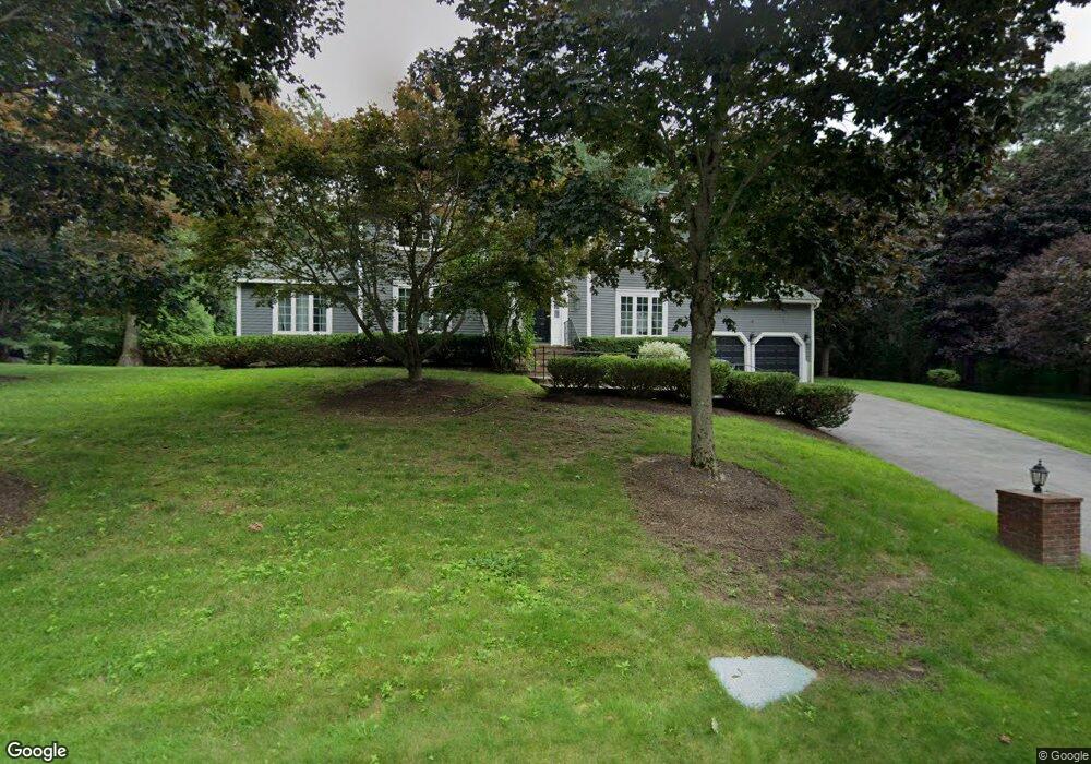
42 Mcneil Cir Marlborough, MA 01752
Estimated Value: $851,384 - $934,000
3
Beds
3
Baths
2,536
Sq Ft
$350/Sq Ft
Est. Value
About This Home
This home is located at 42 Mcneil Cir, Marlborough, MA 01752 and is currently estimated at $888,846, approximately $350 per square foot. 42 Mcneil Cir is a home located in Middlesex County with nearby schools including Marlborough High School, New Covenant Christian School, and Glenhaven Academy - JRI School.
Ownership History
Date
Name
Owned For
Owner Type
Purchase Details
Closed on
Nov 9, 2000
Sold by
Odonnell William and Odonnell Elaine
Bought by
Grossman Michael A and Grossman Gowen-Grossman P
Current Estimated Value
Home Financials for this Owner
Home Financials are based on the most recent Mortgage that was taken out on this home.
Original Mortgage
$280,000
Interest Rate
7.81%
Mortgage Type
Purchase Money Mortgage
Purchase Details
Closed on
Nov 21, 1995
Sold by
Horner Louis F
Bought by
Odonnell William and Odonnell Elaine
Create a Home Valuation Report for This Property
The Home Valuation Report is an in-depth analysis detailing your home's value as well as a comparison with similar homes in the area
Home Values in the Area
Average Home Value in this Area
Purchase History
| Date | Buyer | Sale Price | Title Company |
|---|---|---|---|
| Grossman Michael A | $395,000 | -- | |
| Odonnell William | $215,000 | -- |
Source: Public Records
Mortgage History
| Date | Status | Borrower | Loan Amount |
|---|---|---|---|
| Open | Odonnell William | $320,000 | |
| Closed | Odonnell William | $9,426 | |
| Closed | Odonnell William | $280,000 |
Source: Public Records
Tax History Compared to Growth
Tax History
| Year | Tax Paid | Tax Assessment Tax Assessment Total Assessment is a certain percentage of the fair market value that is determined by local assessors to be the total taxable value of land and additions on the property. | Land | Improvement |
|---|---|---|---|---|
| 2025 | $7,575 | $768,300 | $251,900 | $516,400 |
| 2024 | $7,381 | $720,800 | $229,000 | $491,800 |
| 2023 | $7,612 | $659,600 | $189,000 | $470,600 |
| 2022 | $7,366 | $561,400 | $180,300 | $381,100 |
| 2021 | $10,088 | $529,900 | $150,700 | $379,200 |
| 2020 | $6,950 | $490,100 | $143,700 | $346,400 |
| 2019 | $10,501 | $477,200 | $141,100 | $336,100 |
| 2018 | $6,787 | $463,900 | $130,200 | $333,700 |
| 2017 | $6,770 | $441,900 | $132,400 | $309,500 |
| 2016 | $6,604 | $430,500 | $132,400 | $298,100 |
| 2015 | $6,679 | $423,800 | $142,900 | $280,900 |
Source: Public Records
Map
Nearby Homes
- 17 Mcneil Cir
- 38 Collins Dr
- 492 Stow Rd
- 274 Naugler Ave
- 256 Robert Rd
- 168 Blanchette Dr
- 137 Naugler Ave
- 33A Russo Dr
- 114 Linda Cir
- 323 Robert Rd
- 618 Sudbury St
- 75 Kings View Rd
- 551 Sudbury St
- 3 Stonehill Rd
- 51 Murphy Rd
- 38 Airport Blvd
- 34 Muir Way
- 45 Raffaele Rd
- 109 Westminster Dr Unit 109
- 688 Boston Post Rd E Unit 202