42 Merritt Rd Harpswell, ME 04079
Harpswell NeighborhoodEstimated Value: $575,466 - $865,000
3
Beds
3
Baths
2,208
Sq Ft
$309/Sq Ft
Est. Value
About This Home
This home is located at 42 Merritt Rd, Harpswell, ME 04079 and is currently estimated at $682,117, approximately $308 per square foot. 42 Merritt Rd is a home located in Cumberland County with nearby schools including Mt Ararat High School.
Ownership History
Date
Name
Owned For
Owner Type
Purchase Details
Closed on
May 2, 2017
Sold by
Fusco Katherine H
Bought by
Fusco Donald R
Current Estimated Value
Create a Home Valuation Report for This Property
The Home Valuation Report is an in-depth analysis detailing your home's value as well as a comparison with similar homes in the area
Home Values in the Area
Average Home Value in this Area
Purchase History
| Date | Buyer | Sale Price | Title Company |
|---|---|---|---|
| Fusco Donald R | -- | -- |
Source: Public Records
Tax History Compared to Growth
Tax History
| Year | Tax Paid | Tax Assessment Tax Assessment Total Assessment is a certain percentage of the fair market value that is determined by local assessors to be the total taxable value of land and additions on the property. | Land | Improvement |
|---|---|---|---|---|
| 2024 | $2,385 | $375,000 | $74,200 | $300,800 |
| 2023 | $2,288 | $375,000 | $74,200 | $300,800 |
| 2022 | $2,213 | $375,000 | $74,200 | $300,800 |
| 2021 | $1,835 | $271,400 | $65,400 | $206,000 |
| 2020 | $1,829 | $271,400 | $65,400 | $206,000 |
| 2019 | $1,818 | $271,400 | $65,400 | $206,000 |
| 2018 | $1,759 | $271,400 | $65,400 | $206,000 |
| 2017 | $1,753 | $271,400 | $65,400 | $206,000 |
| 2016 | $3,230 | $271,400 | $65,400 | $206,000 |
| 2015 | $1,694 | $271,400 | $65,400 | $206,000 |
| 2013 | $1,592 | $275,400 | $65,400 | $210,000 |
Source: Public Records
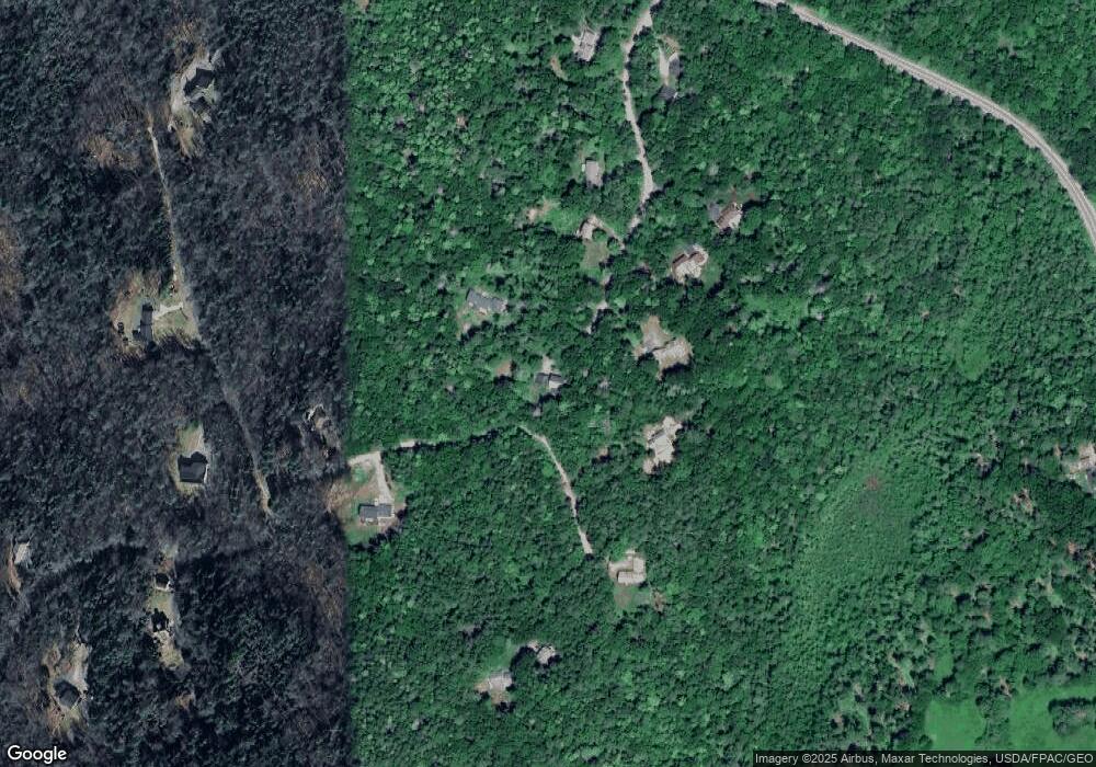
Map
Nearby Homes
- 242 Long Reach Ln
- 29 & 30 Nob Hill Ave
- 646 Gurnet Rd
- 37 & 38 S Dyers Cove Rd
- 93 Abbot Cove Rd
- 51 & 53 Rock Haven Dr
- 11 Orion Point Way
- 270 Harpswell Neck Rd
- 136 Bethel Point Rd
- 260 Coombs Rd
- 46 Dam Cove Rd
- 10 Birch Point Rd
- 943 Cundys Harbor Rd
- 6 Balsam Ave
- 47 Cluf Bay Rd
- 88 Campbell Pond Rd
- 19 Ward Cir
- 38 Ward Cir
- 2 Chickadee Cir Unit 2
- Lot 27 Howards Point Ln
- 40 Merritt Rd
- 70 Cranberry Horn Hill Rd
- 65 Cranberry Horn Hill Rd
- 32 Merritt Rd
- 32 Merritt Rd Unit 32
- 32 Merritt Rd Unit 32
- 95 Cranberry Horn Hill Rd
- 37 Merritt Rd
- 0 Blackberry Ln Unit 1001188
- 8 Merritt Rd
- 101 Cranberry Horn Hill Rd
- 101 Cranberry Horn Hill Rd Unit Assoc
- 22 Merritt Rd
- 29 Merritt Rd
- 102 Cranberry Horn Hill Rd
- 3 Cranberry Horn Hill Rd
- 23 Merritt Rd
- 19 Blackberry Ln
- 11 Blackberry Ln
- 5 Merritt Rd