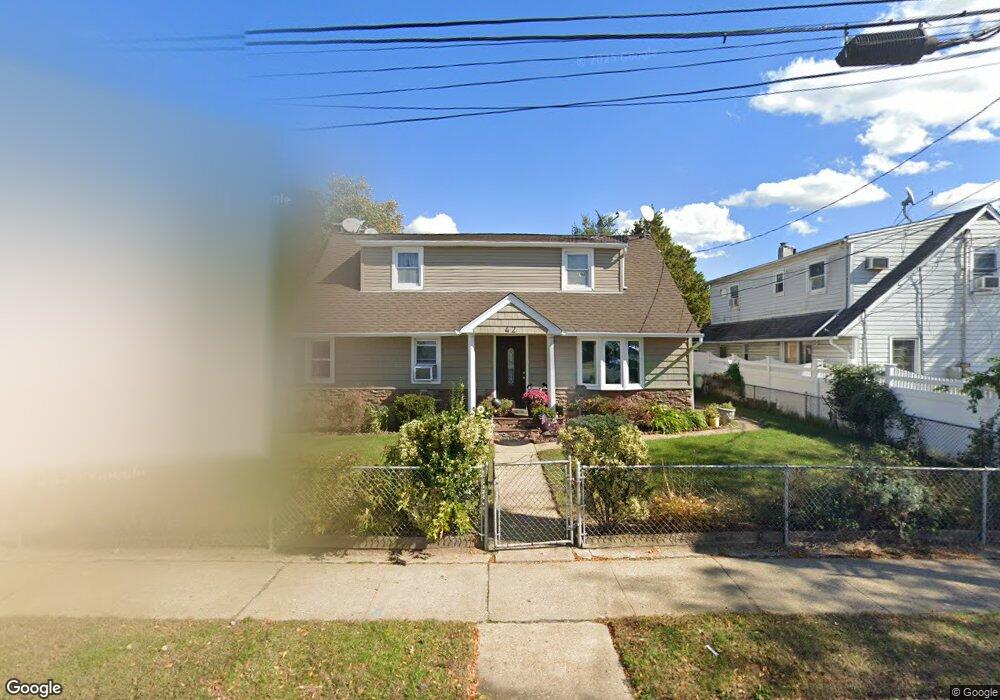
42 Myrtle Ave Hempstead, NY 11550
Estimated Value: $565,927 - $630,000
--
Bed
1
Bath
1,716
Sq Ft
$348/Sq Ft
Est. Value
About This Home
This home is located at 42 Myrtle Ave, Hempstead, NY 11550 and is currently estimated at $597,964, approximately $348 per square foot. 42 Myrtle Ave is a home located in Nassau County with nearby schools including Uniondale Elementary School, The Academy Charter School, and Hebrew Academy of Nassau County Middle School and Brookdale High School.
Ownership History
Date
Name
Owned For
Owner Type
Purchase Details
Closed on
Jan 17, 2019
Sold by
Alferez Sonia and Alferez Mirna
Bought by
Alferez Sonia and Alferez Mirna
Current Estimated Value
Purchase Details
Closed on
Sep 11, 2001
Sold by
Mcrae Kenny
Bought by
Alferez Sonia M and Alferez Mirna A
Purchase Details
Closed on
Aug 5, 1997
Sold by
Schenck Gladys M
Bought by
Kenney Mclae and Mollette Jerry L
Create a Home Valuation Report for This Property
The Home Valuation Report is an in-depth analysis detailing your home's value as well as a comparison with similar homes in the area
Home Values in the Area
Average Home Value in this Area
Purchase History
| Date | Buyer | Sale Price | Title Company |
|---|---|---|---|
| Alferez Sonia | $130,162 | Judicial Title | |
| Alferez Sonia M | $220,000 | Kevin Finn | |
| Kenney Mclae | $115,360 | -- |
Source: Public Records
Tax History Compared to Growth
Tax History
| Year | Tax Paid | Tax Assessment Tax Assessment Total Assessment is a certain percentage of the fair market value that is determined by local assessors to be the total taxable value of land and additions on the property. | Land | Improvement |
|---|---|---|---|---|
| 2025 | $8,324 | $328 | $110 | $218 |
| 2024 | $846 | $328 | $110 | $218 |
| 2023 | $7,948 | $328 | $110 | $218 |
| 2022 | $7,948 | $328 | $110 | $218 |
| 2021 | $11,458 | $318 | $107 | $211 |
| 2020 | $7,827 | $432 | $323 | $109 |
| 2019 | $7,288 | $432 | $323 | $109 |
| 2018 | $7,005 | $432 | $0 | $0 |
| 2017 | $5,644 | $432 | $305 | $127 |
| 2016 | $6,400 | $458 | $273 | $185 |
| 2015 | $809 | $483 | $288 | $195 |
| 2014 | $809 | $483 | $288 | $195 |
| 2013 | $840 | $542 | $323 | $219 |
Source: Public Records
Map
Nearby Homes
- 155 Fairview Blvd
- 15 Pilot St
- 7 Pilot St
- 15 Harriet Ave
- 136 Fairview Blvd
- 186 Westbury Blvd
- 58 Remsen Ave
- 227 Warren St
- 210 Dartmouth St
- 208 Princeton St
- 199 Wellesley St
- 65 Surrey Ln
- 184 Wellesley St
- 106-108 Remsen Ave
- 204-206 Cornell St
- 299 Warren St
- 305 Warren St
- 64 Fairview Blvd
- 53 James L Burrell Ave
- 21 James L Burrell Ave
- 42 Myrtle Ave
- 5 Gertrude St
- 48 Myrtle Ave
- 52 Myrtle Ave
- 7 Gertrude St
- 203 Fairview Blvd
- 207 Fairview Blvd
- 4 Gertrude St
- 55 Myrtle Ave
- 58 Myrtle Ave
- 77 Harriet Ave
- 211 Fairview Blvd
- 9 Gertrude St
- 73 Harriet Ave
- 27 Myrtle Ave
- 185 Fairview Blvd
- 22 Myrtle Ave
- 64 Myrtle Ave
- 69 Harriet Ave
- 215 Fairview Blvd