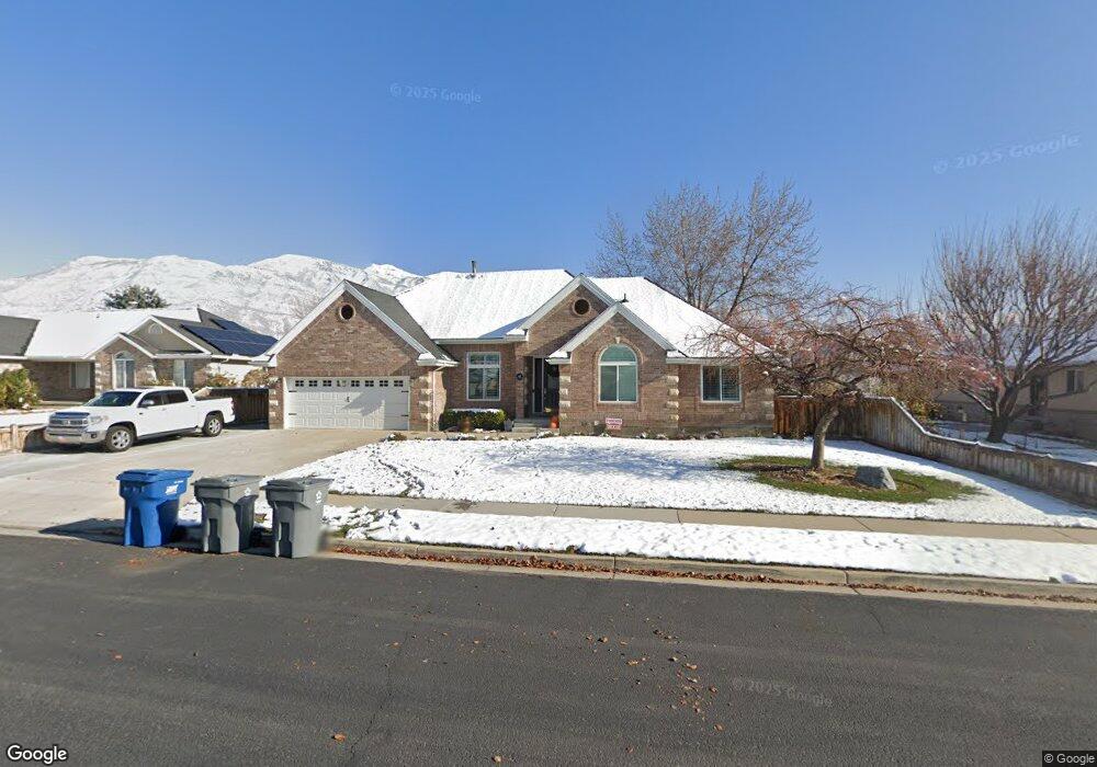
42 N 870 E American Fork, UT 84003
Estimated Value: $670,000 - $738,009
3
Beds
4
Baths
2,215
Sq Ft
$314/Sq Ft
Est. Value
About This Home
This home is located at 42 N 870 E, American Fork, UT 84003 and is currently estimated at $694,502, approximately $313 per square foot. 42 N 870 E is a home located in Utah County with nearby schools including Barratt Elementary School, American Fork Junior High School, and American Fork High School.
Ownership History
Date
Name
Owned For
Owner Type
Purchase Details
Closed on
Feb 6, 2020
Sold by
Mcarthur Robert L and Mcarthur Kristen O
Bought by
Mcarthur Robert L and Mcarthur Kristen O
Current Estimated Value
Purchase Details
Closed on
May 5, 1999
Sold by
Reeve Jack W and Reeve Julie O
Bought by
Mcarthur Robert L and Mcarthur Kristen O
Home Financials for this Owner
Home Financials are based on the most recent Mortgage that was taken out on this home.
Original Mortgage
$209,600
Outstanding Balance
$53,260
Interest Rate
6.84%
Estimated Equity
$641,242
Create a Home Valuation Report for This Property
The Home Valuation Report is an in-depth analysis detailing your home's value as well as a comparison with similar homes in the area
Home Values in the Area
Average Home Value in this Area
Purchase History
| Date | Buyer | Sale Price | Title Company |
|---|---|---|---|
| Mcarthur Robert L | -- | None Available | |
| Mcarthur Robert L | -- | First American Title Co |
Source: Public Records
Mortgage History
| Date | Status | Borrower | Loan Amount |
|---|---|---|---|
| Open | Mcarthur Robert L | $209,600 |
Source: Public Records
Tax History Compared to Growth
Tax History
| Year | Tax Paid | Tax Assessment Tax Assessment Total Assessment is a certain percentage of the fair market value that is determined by local assessors to be the total taxable value of land and additions on the property. | Land | Improvement |
|---|---|---|---|---|
| 2025 | $3,130 | $372,900 | $213,300 | $464,700 |
| 2024 | $3,130 | $347,765 | $0 | $0 |
| 2023 | $2,934 | $345,565 | $0 | $0 |
| 2022 | $3,169 | $368,445 | $0 | $0 |
| 2021 | $2,729 | $495,600 | $153,000 | $342,600 |
| 2020 | $2,560 | $450,900 | $136,600 | $314,300 |
| 2019 | $2,422 | $441,200 | $126,900 | $314,300 |
| 2018 | $2,290 | $398,800 | $119,500 | $279,300 |
| 2017 | $2,215 | $208,175 | $0 | $0 |
| 2016 | $2,306 | $201,355 | $0 | $0 |
| 2015 | -- | $201,355 | $0 | $0 |
| 2014 | $2,198 | $179,685 | $0 | $0 |
Source: Public Records
Map
Nearby Homes