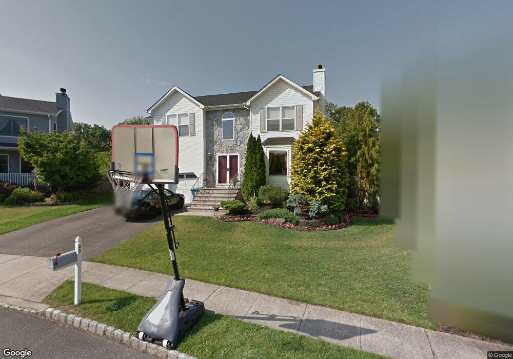
42 Netty St Howell, NJ 07731
Ramtown NeighborhoodEstimated Value: $709,000 - $796,550
4
Beds
2
Baths
2,281
Sq Ft
$330/Sq Ft
Est. Value
About This Home
This home is located at 42 Netty St, Howell, NJ 07731 and is currently estimated at $753,388, approximately $330 per square foot. 42 Netty St is a home located in Monmouth County with nearby schools including Ramtown School, Greenville School, and Howell Township Middle School South.
Ownership History
Date
Name
Owned For
Owner Type
Purchase Details
Closed on
Mar 31, 1997
Sold by
Howell Stanford
Bought by
Russo Alfred and Russo Allison
Current Estimated Value
Home Financials for this Owner
Home Financials are based on the most recent Mortgage that was taken out on this home.
Original Mortgage
$126,000
Outstanding Balance
$15,808
Interest Rate
7.55%
Estimated Equity
$737,580
Create a Home Valuation Report for This Property
The Home Valuation Report is an in-depth analysis detailing your home's value as well as a comparison with similar homes in the area
Home Values in the Area
Average Home Value in this Area
Purchase History
| Date | Buyer | Sale Price | Title Company |
|---|---|---|---|
| Russo Alfred | $170,900 | -- |
Source: Public Records
Mortgage History
| Date | Status | Borrower | Loan Amount |
|---|---|---|---|
| Open | Russo Alfred | $126,000 |
Source: Public Records
Tax History Compared to Growth
Tax History
| Year | Tax Paid | Tax Assessment Tax Assessment Total Assessment is a certain percentage of the fair market value that is determined by local assessors to be the total taxable value of land and additions on the property. | Land | Improvement |
|---|---|---|---|---|
| 2025 | $12,617 | $720,200 | $296,500 | $423,700 |
| 2024 | $10,935 | $712,400 | $296,500 | $415,900 |
| 2023 | $10,935 | $588,200 | $221,500 | $366,700 |
| 2022 | $10,147 | $482,100 | $133,000 | $349,100 |
| 2021 | $10,147 | $443,500 | $133,000 | $310,500 |
| 2020 | $10,182 | $440,000 | $133,000 | $307,000 |
| 2019 | $10,253 | $434,800 | $133,000 | $301,800 |
| 2018 | $9,971 | $420,700 | $133,000 | $287,700 |
| 2017 | $9,554 | $398,600 | $113,000 | $285,600 |
| 2016 | $9,139 | $376,400 | $98,000 | $278,400 |
| 2015 | $9,158 | $373,200 | $98,800 | $274,400 |
| 2014 | $7,506 | $283,900 | $134,500 | $149,400 |
Source: Public Records
Map
Nearby Homes
- 20 Netty St
- 33 Bronia St
- 28 Bronia St
- 51 Alan Terrace
- 11 Sanford Rd
- 1263 Coronado St
- 39 Oak Terrace
- 1255 County Line Rd E
- 129 Camille Ct Unit 35B
- 28 Roberta Dr
- 1226 Hermosa Dr
- 1230 Del Mar Rd
- 58 Belinda Ct
- 4 Pine Cone Ln
- 1248 Isadora Ct
- 1226 County Line Rd E
- 1376 Alvarado Ave
- 4 Evergreen Place
- 1557 Alamitos Dr
- 1024 Tammy Ct Unit H