Estimated Value: $200,000 - $367,000
Studio
--
Bath
192
Sq Ft
$1,493/Sq Ft
Est. Value
About This Home
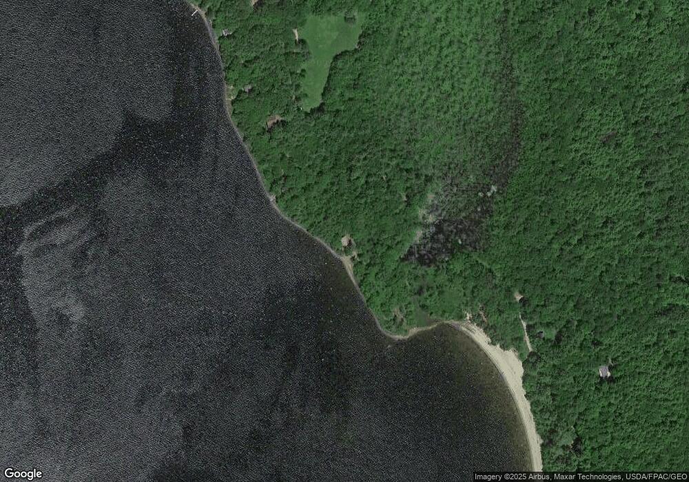
This home is located at 42 Osprey Ln, Wayne, ME 04284 and is currently estimated at $286,720, approximately $1,493 per square foot. 42 Osprey Ln is a home.
Create a Home Valuation Report for This Property
The Home Valuation Report is an in-depth analysis detailing your home's value as well as a comparison with similar homes in the area
Home Values in the Area
Average Home Value in this Area
Tax History
| Year | Tax Paid | Tax Assessment Tax Assessment Total Assessment is a certain percentage of the fair market value that is determined by local assessors to be the total taxable value of land and additions on the property. | Land | Improvement |
|---|---|---|---|---|
| 2024 | $3,424 | $289,400 | $255,500 | $33,900 |
| 2023 | $3,735 | $181,300 | $145,300 | $36,000 |
| 2022 | $3,421 | $181,300 | $145,300 | $36,000 |
| 2021 | $3,256 | $181,300 | $145,300 | $36,000 |
| 2020 | $1,650 | $181,300 | $145,300 | $36,000 |
| 2019 | $736 | $181,300 | $145,300 | $36,000 |
| 2017 | $2,935 | $181,300 | $145,300 | $36,000 |
| 2016 | $1,966 | $181,300 | $145,300 | $36,000 |
| 2015 | $2,642 | $181,300 | $145,300 | $36,000 |
| 2014 | $2,605 | $181,300 | $145,300 | $36,000 |
| 2013 | $2,574 | $181,300 | $145,300 | $36,000 |
Source: Public Records
Map
Nearby Homes
- 506 Main St
- Lot 39 Main St
- 57 Deer Hill Rd
- 156 Lakeshore Dr
- 286 Pond Rd
- 29 Kents Hill Rd
- 192 Turkey Ln
- 591 North Rd
- 46 Squire Ct
- Lot 26C Jennings Rd
- 31 Squire Ct
- 42 Squire Ct
- 974 Sturtevant Hill Rd
- 60 Route 41
- 147 N Main St
- 200 Back St
- 169 Old Lewiston Rd
- 9 Russell St
- 721 U S Highway 202
- 583 Route 106
- 77 Peep Toad Ln
- 71 Peep Toad Ln
- 63 Peep Toad Ln
- 8 Rainbow Ln
- 11 The Blvd
- 6 The Blvd
- 17 Rainbow Ln
- 26 Doles Beach Rd
- 29 The Blvd
- 22 Rainbow Ln
- 50 Peep Toad Ln
- 45 Peep Toad Ln
- 22 The Blvd
- 139 Morrison Heights Rd
- 0 Gott Rd
- 93 Morrison Heights Rd
- 4 Cedar Point Rd
- 69 The Blvd
- 59 Morrison Heights Rd
- Map15 Lot2 Moose Run Rd
Your Personal Tour Guide
Ask me questions while you tour the home.
