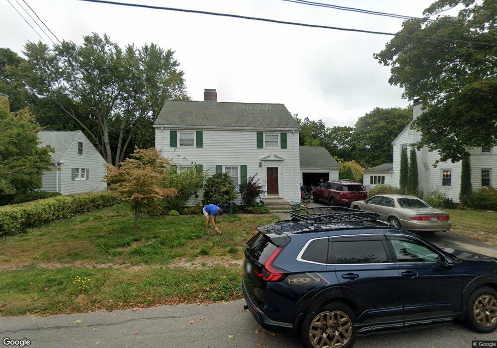
42 Parsons Rd Portland, ME 04103
Back Cove NeighborhoodEstimated Value: $764,476 - $776,000
3
Beds
2
Baths
1,598
Sq Ft
$482/Sq Ft
Est. Value
About This Home
This home is located at 42 Parsons Rd, Portland, ME 04103 and is currently estimated at $769,619, approximately $481 per square foot. 42 Parsons Rd is a home located in Cumberland County with nearby schools including Ocean Avenue Elementary School, Lyman Moore Middle School, and Baxter Academy for Tech & Sciences.
Ownership History
Date
Name
Owned For
Owner Type
Purchase Details
Closed on
Feb 6, 2017
Sold by
Radding Carolyn B
Bought by
Grasmuck Robert J
Current Estimated Value
Create a Home Valuation Report for This Property
The Home Valuation Report is an in-depth analysis detailing your home's value as well as a comparison with similar homes in the area
Home Values in the Area
Average Home Value in this Area
Purchase History
| Date | Buyer | Sale Price | Title Company |
|---|---|---|---|
| Grasmuck Robert J | -- | -- |
Source: Public Records
Tax History Compared to Growth
Tax History
| Year | Tax Paid | Tax Assessment Tax Assessment Total Assessment is a certain percentage of the fair market value that is determined by local assessors to be the total taxable value of land and additions on the property. | Land | Improvement |
|---|---|---|---|---|
| 2024 | $7,817 | $520,800 | $176,500 | $344,300 |
| 2023 | $7,505 | $520,800 | $176,500 | $344,300 |
| 2022 | $7,088 | $520,800 | $176,500 | $344,300 |
| 2021 | $6,765 | $520,800 | $176,500 | $344,300 |
| 2020 | $6,273 | $269,100 | $141,200 | $127,900 |
| 2019 | $6,273 | $269,100 | $141,200 | $127,900 |
| 2018 | $5,826 | $269,100 | $141,200 | $127,900 |
| 2017 | $5,826 | $269,100 | $141,200 | $127,900 |
| 2016 | $5,681 | $269,100 | $141,200 | $127,900 |
| 2015 | $5,552 | $269,100 | $141,200 | $127,900 |
| 2014 | $5,382 | $269,100 | $141,200 | $127,900 |
Source: Public Records
Map
Nearby Homes
- 33 Bay View Dr
- 44 Hersey St
- 45 George St
- 33 Mayland St
- 42 Sawyer St
- 736 Forest Ave
- 25 Pleasant Ave
- 37 Wellington Rd
- 44 Pleasant Ave
- 54 Read St
- 89 Clinton St
- 48 Ashmont St
- 930 Forest Ave
- 9 Bay View Terrace
- 147 Pleasant Ave Unit 2
- 65 Mcauley Way Unit 506
- 400 Ocean Ave
- 75 Mcauley Way Unit 307
- 75 Mcauley Way Unit 206
- 75 Mcauley Way Unit 401