42 Pasture Rd Poquoson, VA 23662
Poquoson Shores NeighborhoodEstimated Value: $633,000 - $935,337
4
Beds
3
Baths
3,521
Sq Ft
$237/Sq Ft
Est. Value
About This Home
This home is located at 42 Pasture Rd, Poquoson, VA 23662 and is currently estimated at $836,084, approximately $237 per square foot. 42 Pasture Rd is a home located in Poquoson City.
Ownership History
Date
Name
Owned For
Owner Type
Purchase Details
Closed on
Jun 18, 2013
Sold by
Price James Lee
Bought by
Williams Christopher W
Current Estimated Value
Home Financials for this Owner
Home Financials are based on the most recent Mortgage that was taken out on this home.
Original Mortgage
$400,000
Outstanding Balance
$285,800
Interest Rate
3.59%
Mortgage Type
Construction
Estimated Equity
$550,284
Purchase Details
Closed on
Jan 10, 2013
Sold by
Acree Irvin H and Helbing Diane A
Bought by
Price James L
Home Financials for this Owner
Home Financials are based on the most recent Mortgage that was taken out on this home.
Original Mortgage
$340,000
Interest Rate
3.35%
Mortgage Type
New Conventional
Create a Home Valuation Report for This Property
The Home Valuation Report is an in-depth analysis detailing your home's value as well as a comparison with similar homes in the area
Home Values in the Area
Average Home Value in this Area
Purchase History
| Date | Buyer | Sale Price | Title Company |
|---|---|---|---|
| Williams Christopher W | $345,000 | -- | |
| Price James L | $425,000 | -- |
Source: Public Records
Mortgage History
| Date | Status | Borrower | Loan Amount |
|---|---|---|---|
| Open | Williams Christopher W | $400,000 | |
| Previous Owner | Price James L | $340,000 |
Source: Public Records
Tax History Compared to Growth
Tax History
| Year | Tax Paid | Tax Assessment Tax Assessment Total Assessment is a certain percentage of the fair market value that is determined by local assessors to be the total taxable value of land and additions on the property. | Land | Improvement |
|---|---|---|---|---|
| 2024 | $8,934 | $783,700 | $266,400 | $517,300 |
| 2023 | $8,699 | $783,700 | $266,400 | $517,300 |
| 2022 | $8,067 | $713,900 | $266,400 | $447,500 |
| 2021 | $8,067 | $713,900 | $266,400 | $447,500 |
| 2020 | -- | $678,100 | $266,400 | $411,700 |
| 2019 | -- | $678,100 | $266,400 | $411,700 |
| 2018 | -- | $663,200 | $266,400 | $396,800 |
| 2017 | -- | $642,600 | $266,400 | $376,200 |
| 2016 | -- | $642,600 | $266,400 | $376,200 |
| 2015 | -- | $611,700 | $266,400 | $345,300 |
| 2013 | -- | $349,300 | $266,400 | $82,900 |
Source: Public Records
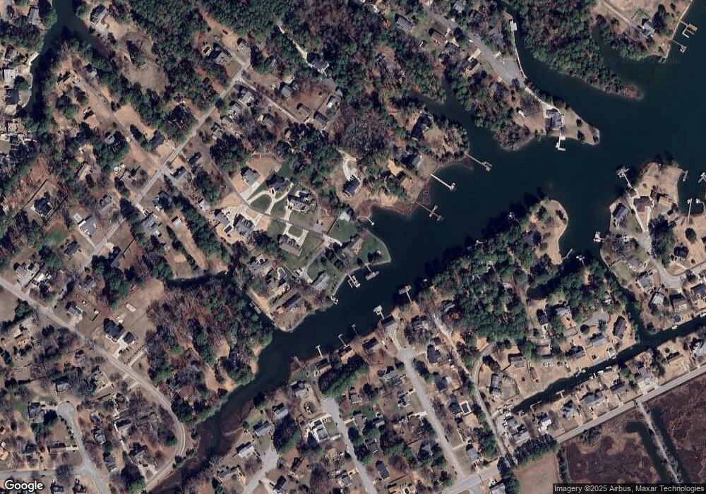
Map
Nearby Homes
- 41 W Sandy Point Rd
- 28 Pasture Rd
- 15+AC Browns Neck Rd
- 8 Wornom Farm Rd
- 11 Valmoore Dr
- 1 Phillips Rd
- 29 River Rd
- 35 River Rd
- 11 Dorothy Dr
- 102 Blue Crab Dr
- 105 Rens Rd Unit 30
- 105 Rens Rd Unit 2
- 105 Rens Rd Unit 74
- 105 Rens Rd Unit Lot 48
- 40 Valmoore Dr
- 11 Bull Run
- 240 Hunts Neck Rd
- 108 Rens Rd
- 6 Lessies Dr
- 8 Harbour View Dr
- 42 Pasture Rd
- 42 Pasture Rd Unit C
- 42 Pasture Rd Unit A
- 42 Pasture Rd
- 2 Letts Point Landing
- 4 Letts Point Landing
- 6 Letts Point Landing
- 42E Pasture Rd
- 12 Bennett Farm Rd
- 11 Ebb Tide Landing
- 14 Ebb Tide Landing
- 14 Bennett Farm Rd
- 42B Pasture Rd
- 2 Lyons Creek Rd
- 12 Ebb Tide Landing
- 9 Bennett Farm Rd
- 10 Bennett Farm Rd
- 9 Ebb Tide Landing
- 4 Lyons Creek Rd
- 3 Lyons Creek Rd