42 Penni Ln North Andover, MA 01845
Estimated Value: $1,003,000 - $1,270,000
4
Beds
3
Baths
2,520
Sq Ft
$438/Sq Ft
Est. Value
About This Home
This home is located at 42 Penni Ln, North Andover, MA 01845 and is currently estimated at $1,103,603, approximately $437 per square foot. 42 Penni Ln is a home located in Essex County with nearby schools including Franklin Elementary School, North Andover Middle School, and North Andover High School.
Ownership History
Date
Name
Owned For
Owner Type
Purchase Details
Closed on
May 15, 2019
Sold by
Savory Matthew D and Savory Gail J
Bought by
Savory Ft
Current Estimated Value
Purchase Details
Closed on
Aug 31, 2004
Sold by
Tagaras Jo Elizabeth and Tagaras Michael A
Bought by
Savory Gail J and Savory Matthew D
Purchase Details
Closed on
Aug 17, 1999
Sold by
King Paula M
Bought by
Tagaras Michael A and Tagaras Jo Elizabeth
Create a Home Valuation Report for This Property
The Home Valuation Report is an in-depth analysis detailing your home's value as well as a comparison with similar homes in the area
Home Values in the Area
Average Home Value in this Area
Purchase History
| Date | Buyer | Sale Price | Title Company |
|---|---|---|---|
| Savory Ft | -- | -- | |
| Savory Gail J | $589,900 | -- | |
| Tagaras Michael A | $345,000 | -- |
Source: Public Records
Mortgage History
| Date | Status | Borrower | Loan Amount |
|---|---|---|---|
| Previous Owner | Tagaras Michael A | $437,500 | |
| Previous Owner | Tagaras Michael A | $440,000 |
Source: Public Records
Tax History Compared to Growth
Tax History
| Year | Tax Paid | Tax Assessment Tax Assessment Total Assessment is a certain percentage of the fair market value that is determined by local assessors to be the total taxable value of land and additions on the property. | Land | Improvement |
|---|---|---|---|---|
| 2025 | $10,340 | $918,300 | $414,300 | $504,000 |
| 2024 | $9,836 | $886,900 | $392,500 | $494,400 |
| 2023 | $9,395 | $767,600 | $331,500 | $436,100 |
| 2022 | $8,950 | $661,500 | $287,900 | $373,600 |
| 2021 | $8,581 | $605,600 | $261,800 | $343,800 |
| 2020 | $8,230 | $599,000 | $255,200 | $343,800 |
| 2019 | $8,033 | $599,000 | $255,200 | $343,800 |
| 2018 | $8,703 | $599,000 | $255,200 | $343,800 |
| 2017 | $8,190 | $573,500 | $224,600 | $348,900 |
| 2016 | $7,793 | $546,100 | $226,800 | $319,300 |
| 2015 | $7,707 | $535,600 | $213,400 | $322,200 |
Source: Public Records
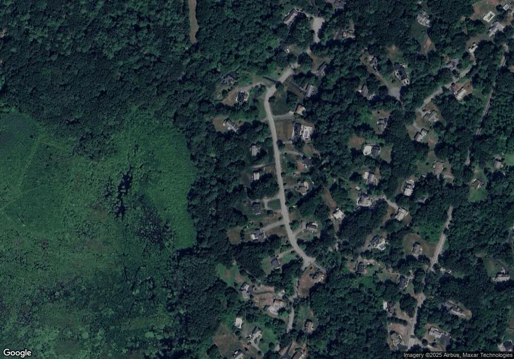
Map
Nearby Homes
- 53 Old Cart Way
- 8 Athena Cir
- 7 Sullivan St
- 6 Gray Rd
- 80 Compass Point Unit 80
- 66 Compass Point Unit 66
- 80 Wildwood Rd
- 127 Tucker Farm Rd
- 4 Buchan Rd
- 12 Farnum St
- 78 Salem St
- 53 Salem St
- 331 S Main St
- 7 Heather Dr
- 21 Rocky Hill Rd
- 3 Harvest Dr Unit 106
- 3 Harvest Dr Unit 210
- 1 Harvest Dr Unit 205
- 34 Rosemont Dr
- 21 Orchard Crossing