42 Phillips Ct North Andover, MA 01845
Estimated Value: $343,000 - $470,000
2
Beds
1
Bath
900
Sq Ft
$422/Sq Ft
Est. Value
About This Home
This home is located at 42 Phillips Ct, North Andover, MA 01845 and is currently estimated at $379,755, approximately $421 per square foot. 42 Phillips Ct is a home located in Essex County with nearby schools including Kittredge Elementary School, North Andover Middle School, and North Andover High School.
Ownership History
Date
Name
Owned For
Owner Type
Purchase Details
Closed on
Oct 3, 2016
Sold by
Elliot Kenneth C and Messina Bonnie J
Bought by
Canty Tyler W
Current Estimated Value
Home Financials for this Owner
Home Financials are based on the most recent Mortgage that was taken out on this home.
Original Mortgage
$137,600
Outstanding Balance
$110,207
Interest Rate
3.43%
Mortgage Type
New Conventional
Estimated Equity
$269,548
Create a Home Valuation Report for This Property
The Home Valuation Report is an in-depth analysis detailing your home's value as well as a comparison with similar homes in the area
Home Values in the Area
Average Home Value in this Area
Purchase History
| Date | Buyer | Sale Price | Title Company |
|---|---|---|---|
| Canty Tyler W | $172,000 | -- |
Source: Public Records
Mortgage History
| Date | Status | Borrower | Loan Amount |
|---|---|---|---|
| Open | Canty Tyler W | $137,600 |
Source: Public Records
Tax History Compared to Growth
Tax History
| Year | Tax Paid | Tax Assessment Tax Assessment Total Assessment is a certain percentage of the fair market value that is determined by local assessors to be the total taxable value of land and additions on the property. | Land | Improvement |
|---|---|---|---|---|
| 2025 | $3,569 | $317,000 | $0 | $317,000 |
| 2024 | $3,391 | $305,800 | $0 | $305,800 |
| 2023 | $3,239 | $264,600 | $0 | $264,600 |
| 2022 | $3,315 | $245,000 | $0 | $245,000 |
| 2021 | $3,333 | $235,200 | $0 | $235,200 |
| 2020 | $3,097 | $225,400 | $0 | $225,400 |
| 2019 | $843 | $62,900 | $0 | $62,900 |
| 2018 | $2,476 | $170,400 | $0 | $170,400 |
| 2017 | $2,388 | $167,200 | $0 | $167,200 |
| 2016 | $2,386 | $167,200 | $0 | $167,200 |
| 2015 | $2,187 | $152,000 | $0 | $152,000 |
Source: Public Records
Map
Nearby Homes
- 98 Mill Pond
- 16 Court St
- 112 Mill Pond
- 115 Mill Pond
- 116 Mill Pond
- 19 Fernview Ave Unit 6
- 19 Fernview Ave Unit 5
- 447 Stevens St
- 12 Walker Rd Unit 6
- 25 Fernview Ave Unit 8
- 23 Fernview Ave Unit 1
- 3 Great Pond Rd
- 11 W Bradstreet Rd
- 35 Fernview Ave Unit 5
- 40 Fernview Ave Unit 11
- 479 Stevens St
- 52 Fernview Ave Unit 7
- 168 Greene St
- 90 Edgelawn Ave Unit 1
- 180 Chickering Rd Unit 310C
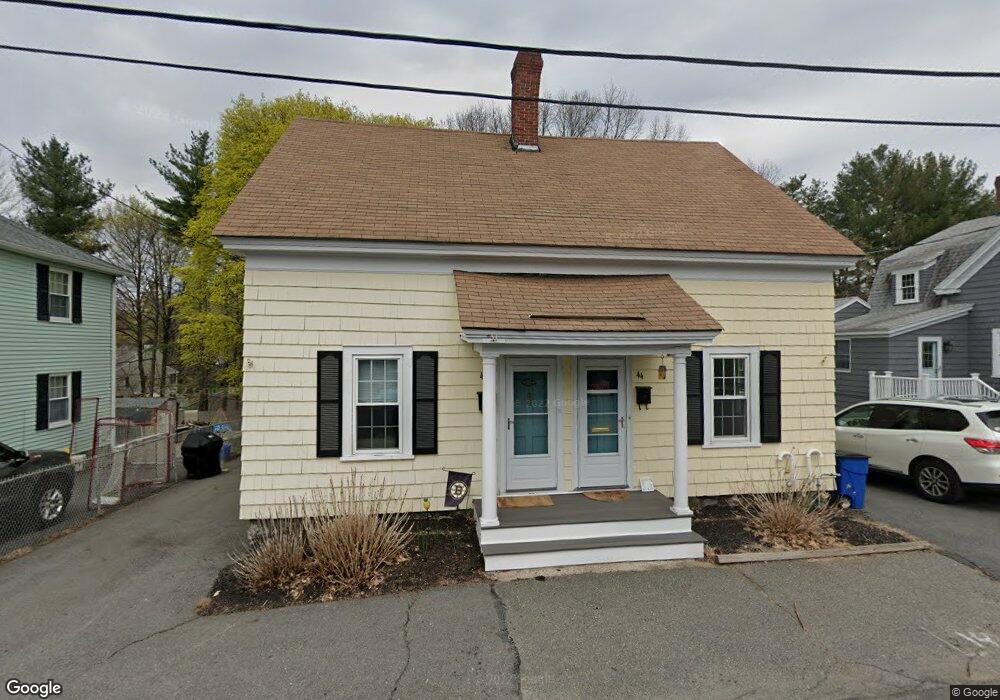
- 44 Phillips Ct
- 48 Phillips Ct Unit 48
- 38 Phillips Ct Unit 40
- 46 Phillips Ct
- 41 Phillips Ct Unit A
- 43 Phillips Ct
- 41 Phillips Ct
- 41 Phillips Ct Unit 41
- 50 Phillips Ct
- 31 Phillips Ct
- 63 Mill Pond
- 67 Mill Pond
- 67 Mill Pond Unit 67
- 65 Mill Pond
- 65 Mill Pond Unit 65
- 59 Phillips Ct Unit 61
- 59 Phillips Ct Unit 2
- 66 Mill Pond
- 68 Mill Pond
- 69 Mill Pond Unit 69