42 Picardy Ln Saint Louis, MO 63124
Estimated Value: $1,832,000 - $2,290,499
5
Beds
6
Baths
4,111
Sq Ft
$511/Sq Ft
Est. Value
About This Home
This home is located at 42 Picardy Ln, Saint Louis, MO 63124 and is currently estimated at $2,099,500, approximately $510 per square foot. 42 Picardy Ln is a home located in St. Louis County with nearby schools including Conway Elementary, Ladue 5th Grade Center, and Ladue Middle.
Ownership History
Date
Name
Owned For
Owner Type
Purchase Details
Closed on
Apr 11, 2003
Sold by
Krebs Robert C and Cornelius Victoria E
Bought by
Krebs C Robert and Cornelius Victoria E
Current Estimated Value
Home Financials for this Owner
Home Financials are based on the most recent Mortgage that was taken out on this home.
Original Mortgage
$322,700
Interest Rate
5.8%
Mortgage Type
Purchase Money Mortgage
Create a Home Valuation Report for This Property
The Home Valuation Report is an in-depth analysis detailing your home's value as well as a comparison with similar homes in the area
Home Values in the Area
Average Home Value in this Area
Purchase History
| Date | Buyer | Sale Price | Title Company |
|---|---|---|---|
| Krebs C Robert | -- | -- |
Source: Public Records
Mortgage History
| Date | Status | Borrower | Loan Amount |
|---|---|---|---|
| Closed | Krebs C Robert | $322,700 |
Source: Public Records
Tax History Compared to Growth
Tax History
| Year | Tax Paid | Tax Assessment Tax Assessment Total Assessment is a certain percentage of the fair market value that is determined by local assessors to be the total taxable value of land and additions on the property. | Land | Improvement |
|---|---|---|---|---|
| 2025 | $20,661 | $375,540 | $254,030 | $121,510 |
| 2024 | $20,661 | $306,130 | $110,470 | $195,660 |
| 2023 | $20,622 | $306,130 | $110,470 | $195,660 |
| 2022 | $16,347 | $233,790 | $109,930 | $123,860 |
| 2021 | $15,550 | $233,790 | $109,930 | $123,860 |
| 2020 | $15,586 | $233,110 | $120,840 | $112,270 |
| 2019 | $15,358 | $233,110 | $120,840 | $112,270 |
| 2018 | $13,673 | $191,580 | $95,910 | $95,670 |
| 2017 | $13,614 | $191,580 | $95,910 | $95,670 |
| 2016 | $14,653 | $199,500 | $95,910 | $103,590 |
| 2015 | $13,970 | $199,500 | $95,910 | $103,590 |
| 2014 | $14,477 | $199,500 | $96,840 | $102,660 |
Source: Public Records
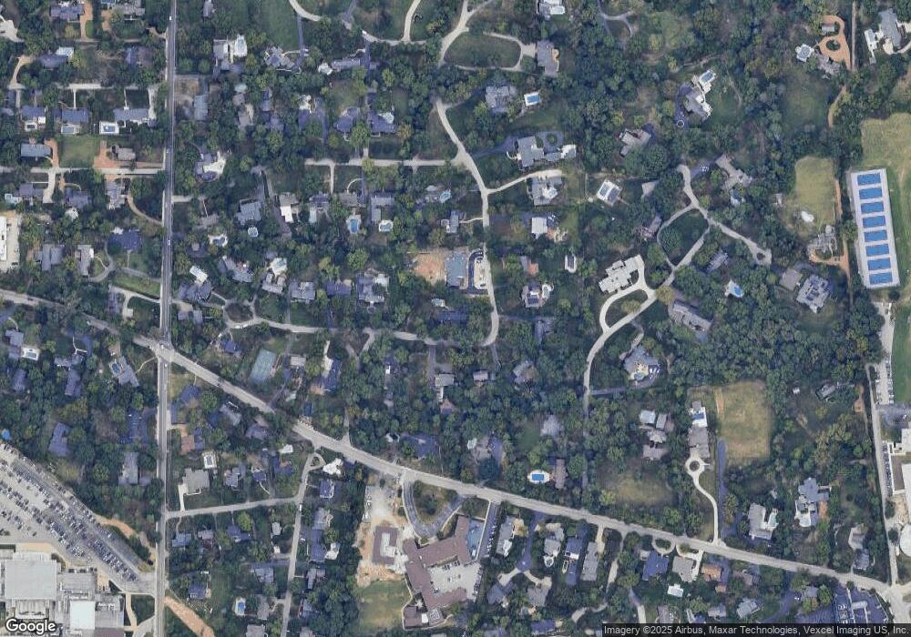
Map
Nearby Homes
- 29 Picardy Ln
- 25 Midpark Ln
- 10228 Thornwood Dr
- 49 Waverton Dr
- 10074 Briarwood Dr
- 1148 Ridgelynn Dr
- 901 Barnes Rd
- 10268 Ridgelynn Dr
- 1304 Brynnwood Dr
- 910 Kent Rd
- 24 Twin Springs Ln
- 10340 Savannah Ave
- 26 Creekwood Ln
- 10424 Garibaldi Place
- 2029 S Warson Rd
- 14 Ballantrae Ct
- 21 Lynnbrook Rd
- 10437 White Bridge Ln
- 22 Fordyce Ln
- 5 Watch Hill Rd