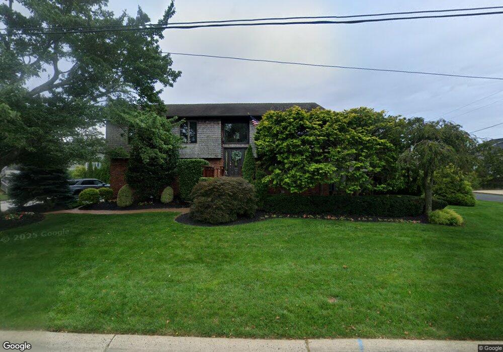
42 Pocano Ave Oceanport, NJ 07757
Estimated Value: $761,000 - $1,497,000
3
Beds
3
Baths
2,947
Sq Ft
$420/Sq Ft
Est. Value
About This Home
This home is located at 42 Pocano Ave, Oceanport, NJ 07757 and is currently estimated at $1,238,447, approximately $420 per square foot. 42 Pocano Ave is a home located in Monmouth County with nearby schools including Wolf Hill Elementary School, Maple Place Elementary and Middle School, and Shore Regional High School.
Ownership History
Date
Name
Owned For
Owner Type
Purchase Details
Closed on
Dec 4, 2020
Sold by
Sverapa William Francis and Mcgann Marianne S
Bought by
Lamberto Builders Llc
Current Estimated Value
Home Financials for this Owner
Home Financials are based on the most recent Mortgage that was taken out on this home.
Original Mortgage
$350,000
Outstanding Balance
$311,604
Interest Rate
2.7%
Mortgage Type
Construction
Estimated Equity
$926,843
Create a Home Valuation Report for This Property
The Home Valuation Report is an in-depth analysis detailing your home's value as well as a comparison with similar homes in the area
Home Values in the Area
Average Home Value in this Area
Purchase History
| Date | Buyer | Sale Price | Title Company |
|---|---|---|---|
| Lamberto Builders Llc | $425,000 | Foundation Title |
Source: Public Records
Mortgage History
| Date | Status | Borrower | Loan Amount |
|---|---|---|---|
| Open | Lamberto Builders Llc | $350,000 |
Source: Public Records
Tax History Compared to Growth
Tax History
| Year | Tax Paid | Tax Assessment Tax Assessment Total Assessment is a certain percentage of the fair market value that is determined by local assessors to be the total taxable value of land and additions on the property. | Land | Improvement |
|---|---|---|---|---|
| 2025 | $13,527 | $893,600 | $481,300 | $412,300 |
| 2024 | $13,768 | $856,700 | $462,300 | $394,400 |
| 2023 | $13,768 | $827,400 | $452,800 | $374,600 |
| 2022 | $15,091 | $768,300 | $438,500 | $329,800 |
| 2021 | $15,091 | $792,200 | $437,600 | $354,600 |
| 2020 | $13,761 | $752,800 | $404,300 | $348,500 |
| 2019 | $13,338 | $740,600 | $404,300 | $336,300 |
| 2018 | $13,178 | $736,600 | $404,300 | $332,300 |
| 2017 | $14,074 | $652,500 | $298,300 | $354,200 |
| 2016 | $13,839 | $645,800 | $298,300 | $347,500 |
| 2015 | $13,207 | $636,800 | $298,300 | $338,500 |
| 2014 | $13,603 | $665,200 | $364,800 | $300,400 |
Source: Public Records
Map
Nearby Homes
- 5 Marine Place
- 8 Pocahontas Ave
- 580 Patten Ave Unit 48
- 580 Patten Ave Unit 62
- 580 Patten Ave Unit 86
- 580 Patten Ave Unit 31
- 25 Meadow Ave Unit 30
- 25 Spaulding Place
- 8 Mann Ct
- 28 Patten Ln
- 16 Shore Dr
- 15 Signal Ave
- 165 Kingsley St
- 66 Shrewsbury Ave
- 3 Foggia Way
- 15 Airsdale Ave
- 164 Airsdale Ave
- 7 Manahassett Park Dr
- 9 Manahassett Park Dr
- 392 Florence Ave
- 529 Port Au Peck Ave
- 36 Pocano Ave
- 17 Ticonderoga Ave
- 532 Port Au Peck Ave
- 32 Pocano Ave
- 15 Ticonderoga Ave
- 528 Port Au Peck Ave
- 37 Pocano Ave
- 33 Pocano Ave
- 525 Port Au Peck Ave
- 13 Ticonderoga Ave
- 31 Pocano Ave
- 18 Ticonderoga Ave
- 11 Ticonderoga Ave
- 540 Seawaneka Ave
- 29 Pocano Ave
- 524 Port Au Peck Ave
- 12 Ticonderoga Ave
- 9 Ticonderoga Ave
- 238 Comanche Dr