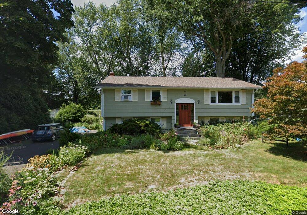
42 Pratt Rd Clinton, CT 06413
Estimated Value: $535,254 - $637,000
3
Beds
2
Baths
1,144
Sq Ft
$515/Sq Ft
Est. Value
About This Home
This home is located at 42 Pratt Rd, Clinton, CT 06413 and is currently estimated at $589,564, approximately $515 per square foot. 42 Pratt Rd is a home located in Middlesex County with nearby schools including Lewin G. Joel Jr. School, The Morgan School, and Our Lady of Mercy Preparatory Academy.
Ownership History
Date
Name
Owned For
Owner Type
Purchase Details
Closed on
Feb 1, 2002
Sold by
Ramhold Richard P and Ramhold Hung C
Bought by
Alvarez Enrique
Current Estimated Value
Purchase Details
Closed on
Sep 2, 1999
Sold by
Reid Gordon M and Reid Renita C
Bought by
Ramhold Ii Richard P and Ramhold Hung C
Create a Home Valuation Report for This Property
The Home Valuation Report is an in-depth analysis detailing your home's value as well as a comparison with similar homes in the area
Home Values in the Area
Average Home Value in this Area
Purchase History
We collect this data history from publicly available records. To have your information removed, we recommend requesting removal directly through your county’s website.
| Date | Buyer | Sale Price | Title Company |
|---|---|---|---|
| Alvarez Enrique | $230,000 | -- | |
| Alvarez Enrique | $230,000 | -- | |
| Ramhold Ii Richard P | $180,000 | -- | |
| Ramhold Richard P | $180,000 | -- |
Source: Public Records
Mortgage History
We collect this data history from publicly available records. To have your information removed, we recommend requesting removal directly through your county’s website.
| Date | Status | Borrower | Loan Amount |
|---|---|---|---|
| Open | Ramhold Richard P | $168,500 | |
| Closed | Ramhold Richard P | $163,209 | |
| Closed | Ramhold Richard P | $188,750 |
Source: Public Records
Tax History
| Year | Tax Paid | Tax Assessment Tax Assessment Total Assessment is a certain percentage of the fair market value that is determined by local assessors to be the total taxable value of land and additions on the property. | Land | Improvement |
|---|---|---|---|---|
| 2025 | $5,898 | $189,400 | $87,100 | $102,300 |
| 2024 | $5,731 | $189,400 | $87,100 | $102,300 |
| 2023 | $5,650 | $189,400 | $87,100 | $102,300 |
| 2022 | $5,650 | $189,400 | $87,100 | $102,300 |
| 2021 | $5,656 | $189,600 | $87,100 | $102,500 |
| 2020 | $5,925 | $189,600 | $87,100 | $102,500 |
| 2019 | $5,925 | $189,600 | $87,100 | $102,500 |
| 2018 | $5,790 | $189,600 | $87,100 | $102,500 |
| 2017 | $5,671 | $189,600 | $87,100 | $102,500 |
| 2016 | $5,146 | $189,600 | $87,100 | $102,500 |
| 2015 | $4,827 | $180,300 | $79,700 | $100,600 |
| 2014 | $4,736 | $180,300 | $79,700 | $100,600 |
Source: Public Records
Map
Nearby Homes
- 44 Pratt Rd
- 40 Pratt Rd
- 46 Pratt Rd
- 53 Pratt Rd
- 63 Pratt Rd
- 50D Holly Place Unit COW
- 50C Holly Place Unit COW
- 50B Holly Place Unit COW
- 50A Holly Place Unit COW
- 36 Pratt Rd
- 51 Pratt Rd
- 65 Pratt Rd
- 48 Pratt Rd
- 5 Harbor Pkwy
- 4 Holly Place
- 2 Birchwood Cir
- 32 Pratt Rd
- 50 Pratt Rd
- 8 Harbor Pkwy
- 7 Harbor Pkwy
Your Personal Tour Guide
Ask me questions while you tour the home.