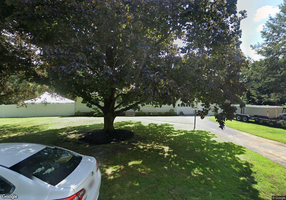
42 Puffer Ln Sudbury, MA 01776
Estimated Value: $664,510 - $893,000
3
Beds
2
Baths
1,128
Sq Ft
$655/Sq Ft
Est. Value
About This Home
This home is located at 42 Puffer Ln, Sudbury, MA 01776 and is currently estimated at $739,128, approximately $655 per square foot. 42 Puffer Ln is a home located in Middlesex County with nearby schools including Josiah Haynes Elementary School, Ephraim Curtis Middle School, and Lincoln-Sudbury Regional High School.
Ownership History
Date
Name
Owned For
Owner Type
Purchase Details
Closed on
Oct 28, 2021
Sold by
C Lombardi Testamentary T
Bought by
Connolly Paul and Wilson Caitlyn A
Current Estimated Value
Home Financials for this Owner
Home Financials are based on the most recent Mortgage that was taken out on this home.
Original Mortgage
$475,000
Outstanding Balance
$434,095
Interest Rate
2.8%
Mortgage Type
Purchase Money Mortgage
Estimated Equity
$305,033
Purchase Details
Closed on
Jan 25, 2019
Sold by
Lombardi Catherine Est
Bought by
Catherine Lombardi T
Create a Home Valuation Report for This Property
The Home Valuation Report is an in-depth analysis detailing your home's value as well as a comparison with similar homes in the area
Home Values in the Area
Average Home Value in this Area
Purchase History
| Date | Buyer | Sale Price | Title Company |
|---|---|---|---|
| Connolly Paul | $500,000 | None Available | |
| Catherine Lombardi T | -- | -- |
Source: Public Records
Mortgage History
| Date | Status | Borrower | Loan Amount |
|---|---|---|---|
| Open | Connolly Paul | $475,000 |
Source: Public Records
Tax History Compared to Growth
Tax History
| Year | Tax Paid | Tax Assessment Tax Assessment Total Assessment is a certain percentage of the fair market value that is determined by local assessors to be the total taxable value of land and additions on the property. | Land | Improvement |
|---|---|---|---|---|
| 2025 | $8,529 | $582,600 | $402,600 | $180,000 |
| 2024 | $7,743 | $530,000 | $390,900 | $139,100 |
| 2023 | $7,779 | $493,300 | $361,900 | $131,400 |
| 2022 | $7,760 | $429,900 | $332,200 | $97,700 |
| 2021 | $7,831 | $415,900 | $332,200 | $83,700 |
| 2020 | $7,673 | $415,900 | $332,200 | $83,700 |
| 2019 | $7,449 | $415,900 | $332,200 | $83,700 |
| 2018 | $7,410 | $413,300 | $354,200 | $59,100 |
| 2017 | $6,880 | $387,800 | $336,900 | $50,900 |
| 2016 | $6,631 | $372,500 | $324,100 | $48,400 |
| 2015 | $6,176 | $350,900 | $311,600 | $39,300 |
| 2014 | $6,146 | $340,900 | $302,400 | $38,500 |
Source: Public Records
Map
Nearby Homes
- 42 Dakin Rd
- 16 Blacksmith Dr
- 14 Frost Ln
- 57 Longfellow Rd
- 401 Emery Ln Unit 104
- 67 Powder Mill Rd
- 63 Canterbury Dr
- 24 Rookery Ln Unit 6
- 40 Rookery Ln Unit 5
- 72 Rookery Ln Unit 3
- 56 Rookery Ln Unit 4
- 369 Border Rd
- 589 North Rd
- 5 Taintor Dr
- 941 Concord Rd
- 55 Widow Rites Ln
- 45 Widow Rites Ln
- Lot 5 Sailaway Ln
- 45 N Crescent Cir
- Lot 4 Sailaway Ln