42 Rando Ln Waltham, MA 02451
Estimated Value: $842,000 - $942,000
3
Beds
2
Baths
1,434
Sq Ft
$610/Sq Ft
Est. Value
About This Home
This home is located at 42 Rando Ln, Waltham, MA 02451 and is currently estimated at $874,530, approximately $609 per square foot. 42 Rando Ln is a home located in Middlesex County with nearby schools including Thomas R Plympton Elementary School, John F Kennedy Middle School, and Waltham Sr High School.
Ownership History
Date
Name
Owned For
Owner Type
Purchase Details
Closed on
Jun 9, 2025
Sold by
Phyllis A Spinelli Ret and Tamkin & Hochberg Llp Tr
Bought by
Spinelli Christopher
Current Estimated Value
Purchase Details
Closed on
Dec 26, 2019
Sold by
Spinelli Phyllis A and Spinelli Edward A
Bought by
Phyllis A Spinelli Ret
Purchase Details
Closed on
Apr 24, 1981
Bought by
Spinelli Edward A and Spinelli Phyllis A
Create a Home Valuation Report for This Property
The Home Valuation Report is an in-depth analysis detailing your home's value as well as a comparison with similar homes in the area
Home Values in the Area
Average Home Value in this Area
Purchase History
| Date | Buyer | Sale Price | Title Company |
|---|---|---|---|
| Spinelli Christopher | -- | None Available | |
| Spinelli Christopher | -- | None Available | |
| Phyllis A Spinelli Ret | -- | None Available | |
| Spinelli Edward A | $89,000 | -- |
Source: Public Records
Mortgage History
| Date | Status | Borrower | Loan Amount |
|---|---|---|---|
| Previous Owner | Spinelli Edward A | $45,000 |
Source: Public Records
Tax History Compared to Growth
Tax History
| Year | Tax Paid | Tax Assessment Tax Assessment Total Assessment is a certain percentage of the fair market value that is determined by local assessors to be the total taxable value of land and additions on the property. | Land | Improvement |
|---|---|---|---|---|
| 2025 | $7,181 | $731,300 | $455,800 | $275,500 |
| 2024 | $7,009 | $727,100 | $455,800 | $271,300 |
| 2023 | $6,949 | $673,400 | $415,200 | $258,200 |
| 2022 | $6,989 | $627,400 | $379,100 | $248,300 |
| 2021 | $6,931 | $612,300 | $379,100 | $233,200 |
| 2020 | $6,667 | $557,900 | $343,000 | $214,900 |
| 2019 | $6,621 | $523,000 | $336,300 | $186,700 |
| 2018 | $6,015 | $477,000 | $311,400 | $165,600 |
| 2017 | $5,651 | $449,900 | $284,300 | $165,600 |
| 2016 | $5,286 | $431,900 | $266,300 | $165,600 |
| 2015 | $5,369 | $408,900 | $252,700 | $156,200 |
Source: Public Records
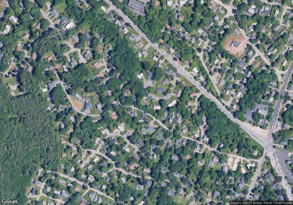
Map
Nearby Homes
- 16 Winter St Unit 26C
- 49 Lincoln St
- 326 Bacon St
- 14 Claremont St
- 511 Lexington St
- 14 Willard St
- 37 Summit St
- 44 Sachem St
- 15 Cedarcroft Ln
- 28 College Farm Rd Unit 2
- 91 Prentice St
- 65 Montclair Ave
- 28 Hillcrest St
- 14 Piedmont Ave
- 92 Milner St
- 11 Autumn Ln
- 102 Milner St
- 158 Church St
- 43-45 Welligton Unit 3
- 214 Church St
- 85 Worcester Ln
- 111 Worcester Ln
- 34 Rando Ln
- 25 Rando Ln
- 100 Worcester Ln
- 110 Worcester Ln
- 115 Worcester Ln
- 24 Rando Ln
- 11 Rando Ln
- 88 Worcester Ln
- 86 Worcester Ln
- 86 Worcester Ln Unit 86
- 88 Worcester Ln Unit 88
- 86 Worcester Ln Unit 86,86
- 88 Worcester Ln Unit 88,88
- 43 Rando Ln
- 43 Rando Ln
- 84 Worcester Ln
- 84 Worcester Ln Unit 84
- 84 Worcester Ln Unit 84,84