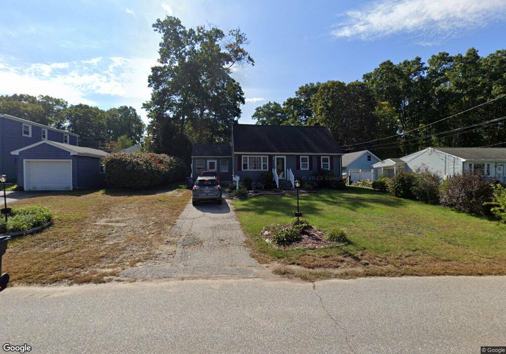
42 Roanoak Ave Willimantic, CT 06226
Estimated Value: $279,110 - $290,000
4
Beds
2
Baths
1,306
Sq Ft
$218/Sq Ft
Est. Value
About This Home
This home is located at 42 Roanoak Ave, Willimantic, CT 06226 and is currently estimated at $285,278, approximately $218 per square foot. 42 Roanoak Ave is a home located in Windham County with nearby schools including Windham Middle School, Windham High School, and Oak Grove Montessori School.
Ownership History
Date
Name
Owned For
Owner Type
Purchase Details
Closed on
Jun 1, 2009
Sold by
Grogan William T
Bought by
Grogan Patricia M
Current Estimated Value
Home Financials for this Owner
Home Financials are based on the most recent Mortgage that was taken out on this home.
Original Mortgage
$122,100
Outstanding Balance
$77,560
Interest Rate
4.87%
Mortgage Type
Purchase Money Mortgage
Estimated Equity
$207,718
Create a Home Valuation Report for This Property
The Home Valuation Report is an in-depth analysis detailing your home's value as well as a comparison with similar homes in the area
Home Values in the Area
Average Home Value in this Area
Purchase History
| Date | Buyer | Sale Price | Title Company |
|---|---|---|---|
| Grogan Patricia M | $150,000 | -- |
Source: Public Records
Mortgage History
| Date | Status | Borrower | Loan Amount |
|---|---|---|---|
| Open | Grogan Patricia M | $122,100 | |
| Previous Owner | Grogan Patricia M | $115,000 | |
| Previous Owner | Grogan Patricia M | $65,000 | |
| Previous Owner | Grogan Patricia M | $50,000 |
Source: Public Records
Tax History
| Year | Tax Paid | Tax Assessment Tax Assessment Total Assessment is a certain percentage of the fair market value that is determined by local assessors to be the total taxable value of land and additions on the property. | Land | Improvement |
|---|---|---|---|---|
| 2025 | $5,746 | $155,210 | $28,170 | $127,040 |
| 2024 | $5,752 | $155,210 | $28,170 | $127,040 |
| 2023 | $4,622 | $97,500 | $24,500 | $73,000 |
| 2022 | $4,553 | $97,500 | $24,500 | $73,000 |
| 2021 | $4,884 | $97,500 | $24,500 | $73,000 |
| 2020 | $4,873 | $97,500 | $24,500 | $73,000 |
| 2019 | $4,794 | $97,500 | $24,500 | $73,000 |
| 2017 | $4,338 | $91,110 | $21,730 | $69,380 |
| 2015 | $4,189 | $91,110 | $21,730 | $69,380 |
| 2014 | $3,957 | $91,110 | $21,730 | $69,380 |
Source: Public Records
Map
Nearby Homes
- 5 Kathleen Dr
- 10 Liberty Dr
- 18 Patriots Square Unit 18
- 73 Spring St
- 60 Highland Rd
- 41 Spring St
- 5 Charles St
- 17 Pearl St
- 129 Valley St
- 33 Oak Dr
- 54 Meadowbrook Ln
- 0 Oak Dr Unit LOT 33
- 335 Pleasant St
- 48 Eastbrook Heights Unit C
- 40 Eastbrook Heights Unit C
- 63 Eastbrook Heights Unit E
- 615 Jackson St
- 26 Maple Ave
- 0 Storrs Rd Unit 2 170571015
- 50 South St
Your Personal Tour Guide
Ask me questions while you tour the home.