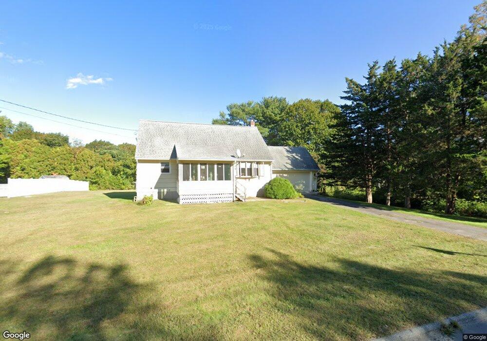
42 Route 164 Preston, CT 06365
Estimated Value: $325,000 - $377,000
5
Beds
2
Baths
1,555
Sq Ft
$226/Sq Ft
Est. Value
About This Home
This home is located at 42 Route 164, Preston, CT 06365 and is currently estimated at $352,076, approximately $226 per square foot. 42 Route 164 is a home located in New London County.
Ownership History
Date
Name
Owned For
Owner Type
Purchase Details
Closed on
Feb 16, 2000
Sold by
Sherman Joseph R
Bought by
Mcand Michael J H and Mcandrew Helene M F
Current Estimated Value
Home Financials for this Owner
Home Financials are based on the most recent Mortgage that was taken out on this home.
Original Mortgage
$113,942
Interest Rate
8.11%
Purchase Details
Closed on
Oct 6, 1994
Sold by
Allen James W and Allen Viginia
Bought by
Sherman Joseph R
Home Financials for this Owner
Home Financials are based on the most recent Mortgage that was taken out on this home.
Original Mortgage
$96,400
Interest Rate
8.38%
Mortgage Type
Unknown
Create a Home Valuation Report for This Property
The Home Valuation Report is an in-depth analysis detailing your home's value as well as a comparison with similar homes in the area
Home Values in the Area
Average Home Value in this Area
Purchase History
| Date | Buyer | Sale Price | Title Company |
|---|---|---|---|
| Mcand Michael J H | $114,000 | -- | |
| Sherman Joseph R | $101,500 | -- |
Source: Public Records
Mortgage History
| Date | Status | Borrower | Loan Amount |
|---|---|---|---|
| Open | Sherman Joseph R | $109,500 | |
| Closed | Sherman Joseph R | $126,000 | |
| Closed | Sherman Joseph R | $113,942 | |
| Previous Owner | Sherman Joseph R | $96,400 |
Source: Public Records
Tax History Compared to Growth
Tax History
| Year | Tax Paid | Tax Assessment Tax Assessment Total Assessment is a certain percentage of the fair market value that is determined by local assessors to be the total taxable value of land and additions on the property. | Land | Improvement |
|---|---|---|---|---|
| 2024 | $3,530 | $151,060 | $36,750 | $114,310 |
| 2023 | $3,467 | $151,060 | $36,750 | $114,310 |
| 2022 | $2,749 | $98,600 | $29,400 | $69,200 |
| 2021 | $2,656 | $98,600 | $29,400 | $69,200 |
| 2020 | $2,652 | $98,600 | $29,400 | $69,200 |
| 2019 | $2,606 | $98,600 | $29,400 | $69,200 |
| 2018 | $2,567 | $98,600 | $29,400 | $69,200 |
| 2017 | $2,510 | $104,600 | $33,300 | $71,300 |
| 2016 | $2,484 | $104,600 | $33,300 | $71,300 |
| 2015 | $2,406 | $104,600 | $33,300 | $71,300 |
| 2014 | $2,420 | $104,600 | $33,300 | $71,300 |
Source: Public Records
Map
Nearby Homes
- 23A Tanglewood Dr
- 381 Route 2
- 6 Lake of Isles Rd
- 39 Doolittle Rd
- 5 Mattern Rd
- 16 Abbey Rd
- 14 Abbey Rd
- 0 Lake of Isles Rd Unit 170371521
- 57 NW Corner Rd
- 10 Wicklow Turn
- 11 Wicklow Turn
- 55A Anna Farm Rd W
- 146 Route 2
- 6 Saint Peters Ct
- 6 Route 117
- 3 Webster Dr
- 721 Norwich Westerly Rd
- 104 Route 2a
- 717 Norwich Westerly Rd
- 5 School House Rd