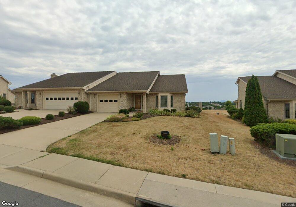
42 Ruth Ct Strasburg, VA 22657
Estimated Value: $400,107 - $409,000
3
Beds
2
Baths
1,744
Sq Ft
$232/Sq Ft
Est. Value
About This Home
This home is located at 42 Ruth Ct, Strasburg, VA 22657 and is currently estimated at $404,527, approximately $231 per square foot. 42 Ruth Ct is a home located in Shenandoah County with nearby schools including Sandy Hook Elementary School, Signal Knob Middle School, and Strasburg High School.
Ownership History
Date
Name
Owned For
Owner Type
Purchase Details
Closed on
Jun 20, 2016
Sold by
Beeler Beeler G and Beeler Louella B
Bought by
Mckiernan Carolyn Kagey
Current Estimated Value
Home Financials for this Owner
Home Financials are based on the most recent Mortgage that was taken out on this home.
Original Mortgage
$193,600
Outstanding Balance
$154,435
Interest Rate
3.64%
Mortgage Type
New Conventional
Estimated Equity
$250,092
Create a Home Valuation Report for This Property
The Home Valuation Report is an in-depth analysis detailing your home's value as well as a comparison with similar homes in the area
Home Values in the Area
Average Home Value in this Area
Purchase History
| Date | Buyer | Sale Price | Title Company |
|---|---|---|---|
| Mckiernan Carolyn Kagey | $242,000 | None Available |
Source: Public Records
Mortgage History
| Date | Status | Borrower | Loan Amount |
|---|---|---|---|
| Open | Mckiernan Carolyn Kagey | $193,600 |
Source: Public Records
Tax History
| Year | Tax Paid | Tax Assessment Tax Assessment Total Assessment is a certain percentage of the fair market value that is determined by local assessors to be the total taxable value of land and additions on the property. | Land | Improvement |
|---|---|---|---|---|
| 2025 | $256,900 | $256,900 | $55,000 | $201,900 |
| 2024 | $1,644 | $256,900 | $55,000 | $201,900 |
| 2023 | $1,541 | $256,900 | $55,000 | $201,900 |
| 2022 | $1,490 | $256,900 | $55,000 | $201,900 |
| 2021 | $1,477 | $214,000 | $53,000 | $161,000 |
| 2020 | $1,370 | $214,000 | $53,000 | $161,000 |
| 2019 | $1,370 | $214,000 | $53,000 | $161,000 |
| 2018 | $1,370 | $214,000 | $53,000 | $161,000 |
| 2017 | $1,284 | $214,000 | $53,000 | $161,000 |
| 2016 | $1,284 | $214,000 | $53,000 | $161,000 |
| 2015 | -- | $201,400 | $42,000 | $159,400 |
| 2014 | -- | $201,400 | $42,000 | $159,400 |
Source: Public Records
Map
Nearby Homes
- 0 Mulberry St Unit VASH2013504
- 322 Alsberry St
- 612 Frontier Fort Ln
- 0 John Marshall Hwy Unit LotWP001
- 0 John Marshall Hwy Unit VASH2013186
- 200 Cannon Ct
- 1010 Pendleton Ln
- 445 Ash St
- 343 Banks Fort Rd
- 517 W King St
- 131 Capon St
- 1197 John Marshall Hwy
- 307 Williams St
- 103 Williams St
- 407 Stonewall St
- 0 Powhatan Rd
- Lot B Pleasant View Dr
- 0 Pleasant View Dr Unit VASH118442
- Lot A Pleasant View Dr
- 131 S Massanutten St
Your Personal Tour Guide
Ask me questions while you tour the home.