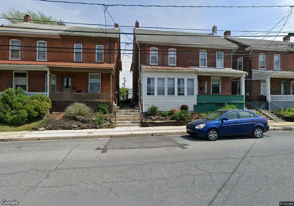
42 S Maple St Kutztown, PA 19530
Estimated Value: $175,000 - $254,000
3
Beds
1
Bath
1,472
Sq Ft
$151/Sq Ft
Est. Value
About This Home
This home is located at 42 S Maple St, Kutztown, PA 19530 and is currently estimated at $222,268, approximately $150 per square foot. 42 S Maple St is a home located in Berks County with nearby schools including Kutztown Area Senior High School, Pleasant Hills Mennonite School, and LIGHTHOUSE ISLAND ACADEMY.
Ownership History
Date
Name
Owned For
Owner Type
Purchase Details
Closed on
Feb 3, 2009
Sold by
Tretter Raymond W and Tretter Concetta
Bought by
Tretter David
Current Estimated Value
Home Financials for this Owner
Home Financials are based on the most recent Mortgage that was taken out on this home.
Original Mortgage
$127,747
Outstanding Balance
$81,183
Interest Rate
5.2%
Mortgage Type
FHA
Estimated Equity
$141,085
Purchase Details
Closed on
May 17, 2004
Sold by
Wenger Jared D
Bought by
Tretter Raymond W and Tretter Concetta
Home Financials for this Owner
Home Financials are based on the most recent Mortgage that was taken out on this home.
Original Mortgage
$104,500
Interest Rate
5.47%
Mortgage Type
Purchase Money Mortgage
Create a Home Valuation Report for This Property
The Home Valuation Report is an in-depth analysis detailing your home's value as well as a comparison with similar homes in the area
Home Values in the Area
Average Home Value in this Area
Purchase History
| Date | Buyer | Sale Price | Title Company |
|---|---|---|---|
| Tretter David | $135,000 | Credit Lenders Title Agency | |
| Tretter Raymond W | $110,000 | -- |
Source: Public Records
Mortgage History
| Date | Status | Borrower | Loan Amount |
|---|---|---|---|
| Open | Tretter David | $127,747 | |
| Closed | Tretter Raymond W | $104,500 |
Source: Public Records
Tax History Compared to Growth
Tax History
| Year | Tax Paid | Tax Assessment Tax Assessment Total Assessment is a certain percentage of the fair market value that is determined by local assessors to be the total taxable value of land and additions on the property. | Land | Improvement |
|---|---|---|---|---|
| 2025 | $986 | $67,000 | $28,500 | $38,500 |
| 2024 | $2,935 | $67,000 | $28,500 | $38,500 |
| 2023 | $2,828 | $67,000 | $28,500 | $38,500 |
| 2022 | $2,828 | $67,000 | $28,500 | $38,500 |
| 2021 | $2,828 | $67,000 | $28,500 | $38,500 |
| 2020 | $2,828 | $67,000 | $28,500 | $38,500 |
| 2019 | $2,795 | $67,000 | $28,500 | $38,500 |
| 2018 | $2,795 | $67,000 | $28,500 | $38,500 |
| 2017 | $2,776 | $67,000 | $28,500 | $38,500 |
| 2016 | $753 | $67,000 | $28,500 | $38,500 |
| 2015 | $753 | $67,000 | $28,500 | $38,500 |
| 2014 | $753 | $67,000 | $28,500 | $38,500 |
Source: Public Records
Map
Nearby Homes
- 234 E Walnut St
- 10 E Main St
- 113 W Main St
- 164 W Main St
- 233 Greenwich St
- 470 Highland Ave
- 471 Highland Ave
- 111 Kohler Rd
- 112 Portia Blvd
- 122 Portia Blvd
- 602 Seem Dr
- 97 S Kemp Rd
- 111 Portia Blvd
- 121 Portia Blvd
- 131 Portia Blvd
- 141 Portia Blvd
- 39 Commons Rd
- 0 College Blvd Unit PABK2022518
- 20 Miller Dr
- 0 Siegfriedale Rd