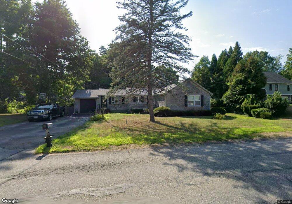
42 Scadding St Taunton, MA 02780
Prospect Hill NeighborhoodEstimated Value: $502,000 - $574,000
4
Beds
2
Baths
1,758
Sq Ft
$307/Sq Ft
Est. Value
About This Home
This home is located at 42 Scadding St, Taunton, MA 02780 and is currently estimated at $540,011, approximately $307 per square foot. 42 Scadding St is a home located in Bristol County with nearby schools including Hopewell, Benjamin Friedman Middle School, and Taunton High School.
Ownership History
Date
Name
Owned For
Owner Type
Purchase Details
Closed on
Jan 6, 2005
Sold by
Coughlin Diane M and Couglin Steven P
Bought by
Coughlin Nicole Marie and Coughlin Steven Paul
Current Estimated Value
Home Financials for this Owner
Home Financials are based on the most recent Mortgage that was taken out on this home.
Original Mortgage
$150,000
Outstanding Balance
$73,668
Interest Rate
5.75%
Mortgage Type
Purchase Money Mortgage
Estimated Equity
$466,343
Create a Home Valuation Report for This Property
The Home Valuation Report is an in-depth analysis detailing your home's value as well as a comparison with similar homes in the area
Home Values in the Area
Average Home Value in this Area
Purchase History
| Date | Buyer | Sale Price | Title Company |
|---|---|---|---|
| Coughlin Nicole Marie | $300,000 | -- |
Source: Public Records
Mortgage History
| Date | Status | Borrower | Loan Amount |
|---|---|---|---|
| Open | Coughlin Nicole Marie | $150,000 |
Source: Public Records
Tax History
| Year | Tax Paid | Tax Assessment Tax Assessment Total Assessment is a certain percentage of the fair market value that is determined by local assessors to be the total taxable value of land and additions on the property. | Land | Improvement |
|---|---|---|---|---|
| 2025 | $5,114 | $467,500 | $132,400 | $335,100 |
| 2024 | $4,621 | $413,000 | $132,400 | $280,600 |
| 2023 | $4,604 | $382,100 | $138,400 | $243,700 |
| 2022 | $4,302 | $326,400 | $107,300 | $219,100 |
| 2021 | $4,098 | $288,600 | $97,600 | $191,000 |
| 2020 | $4,009 | $269,800 | $97,600 | $172,200 |
| 2019 | $4,063 | $257,800 | $97,600 | $160,200 |
| 2018 | $3,822 | $243,300 | $98,600 | $144,700 |
| 2017 | $3,687 | $234,700 | $93,400 | $141,300 |
| 2016 | $3,584 | $228,600 | $90,700 | $137,900 |
| 2015 | $3,454 | $230,100 | $88,800 | $141,300 |
| 2014 | $3,311 | $226,600 | $88,800 | $137,800 |
Source: Public Records
Map
Nearby Homes
- 41 Scadding St
- 68 Sabbatia Ln
- 930 Bay St
- 191 Red Oak Terrace
- 0 Montclair Ave Unit 72130752
- 2 Bassett St
- 19 Abbey Ln
- 563 Whittenton St
- 170 Lake Ridge Dr
- 0 Whittenton St
- 10 Johnny Mac Way Unit B
- 28 Cottage St
- 34 Warren St
- 1 Elizabeth St
- 13 Daisy Ave
- 193 Fremont St
- 17 Green St
- 5 Green St
- 169 Powderhorn Dr
- 214 Eldridge St
- 46 Scadding St
- 43 Scadding St
- 45 Scadding St
- 26 Cliff Dr Unit B
- 26 Cliff Dr Unit A
- 26 Cliff Dr Unit 26A
- 26A Cliff Dr Unit 26 A
- 50 Scadding St
- 38 Scadding St
- 34 Scadding St
- 39 Scadding St
- 73 Scadding St
- 11 Hillside Dr
- 21 Cliff Dr Unit B
- 21 Cliff Dr Unit A
- 11 Spinnaker Ln Unit B
- 11 Spinnaker Ln Unit A
- 37 Scadding St
- 0 Hillside Dr
- 52 Scadding St
Your Personal Tour Guide
Ask me questions while you tour the home.