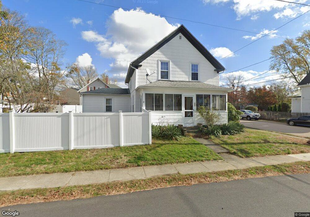
42 Smith St Riverside, RI 02915
Riverside NeighborhoodEstimated Value: $462,000 - $586,000
4
Beds
3
Baths
2,607
Sq Ft
$208/Sq Ft
Est. Value
About This Home
This home is located at 42 Smith St, Riverside, RI 02915 and is currently estimated at $543,478, approximately $208 per square foot. 42 Smith St is a home located in Providence County with nearby schools including East Providence High School, St Mary Academy-Bay View, and The Gordon School.
Ownership History
Date
Name
Owned For
Owner Type
Purchase Details
Closed on
Dec 13, 2019
Sold by
Quinn Pamela L and Stephanopoulos Cynthia C
Bought by
Stephanopoulos Pamela L and Stephanopoulos Cynthia C
Current Estimated Value
Create a Home Valuation Report for This Property
The Home Valuation Report is an in-depth analysis detailing your home's value as well as a comparison with similar homes in the area
Home Values in the Area
Average Home Value in this Area
Purchase History
| Date | Buyer | Sale Price | Title Company |
|---|---|---|---|
| Stephanopoulos Pamela L | -- | None Available | |
| Stephanopoulos Pamela L | -- | None Available |
Source: Public Records
Tax History
| Year | Tax Paid | Tax Assessment Tax Assessment Total Assessment is a certain percentage of the fair market value that is determined by local assessors to be the total taxable value of land and additions on the property. | Land | Improvement |
|---|---|---|---|---|
| 2025 | $6,897 | $527,700 | $102,900 | $424,800 |
| 2024 | $5,382 | $351,100 | $85,700 | $265,400 |
| 2023 | $5,182 | $351,100 | $85,700 | $265,400 |
| 2022 | $4,669 | $213,600 | $53,500 | $160,100 |
| 2021 | $4,592 | $213,600 | $48,500 | $165,100 |
| 2020 | $4,398 | $213,600 | $48,500 | $165,100 |
| 2019 | $4,276 | $213,600 | $48,500 | $165,100 |
| 2018 | $4,194 | $183,300 | $52,100 | $131,200 |
| 2017 | $4,100 | $183,300 | $52,100 | $131,200 |
| 2016 | $4,080 | $183,300 | $52,100 | $131,200 |
| 2015 | $4,062 | $177,000 | $50,900 | $126,100 |
| 2014 | $4,062 | $177,000 | $50,900 | $126,100 |
Source: Public Records
Map
Nearby Homes
- 25 Arnold St
- 103 Burnside Ave
- 151 Willett Ave Unit 2
- 28 Jefferson Ave
- 33 Pine St Unit 35
- 43 Bullocks Point Ave Unit 4A
- 25 Bullocks Point Ave Unit 5C
- 33 Bullocks Point Ave Unit 5C
- 6 Fuller Ave
- 72 Stowe Ave
- 129 Shore Rd
- 25 Winslow St
- 14 Benedict St
- 14 Winthrop St
- 41 White Ave
- 15 Claire St
- 10 Booth Ave
- 85 Hilton Ave
- 0 Carousel Dr
- 15 Plaza Dr
Your Personal Tour Guide
Ask me questions while you tour the home.