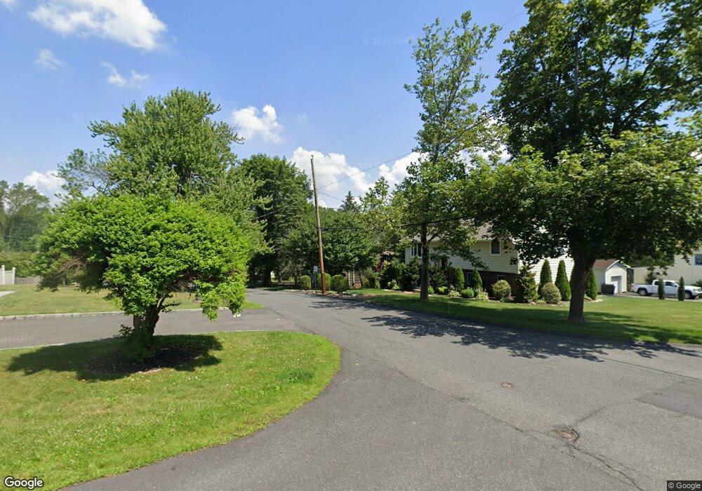
42 Station St Berkeley Heights, NJ 07922
Estimated Value: $696,000 - $841,000
--
Bed
--
Bath
1,728
Sq Ft
$450/Sq Ft
Est. Value
About This Home
This home is located at 42 Station St, Berkeley Heights, NJ 07922 and is currently estimated at $777,835, approximately $450 per square foot. 42 Station St is a home located in Union County with nearby schools including Columbia Middle School, Governor Livingston High School, and The Academy of Our Lady of Peace.
Ownership History
Date
Name
Owned For
Owner Type
Purchase Details
Closed on
Feb 28, 2002
Sold by
Cook Robert C and Cook Mary Alfano
Bought by
Micchelli Nicholas and Micchelli Phyllis
Current Estimated Value
Home Financials for this Owner
Home Financials are based on the most recent Mortgage that was taken out on this home.
Original Mortgage
$220,000
Outstanding Balance
$91,576
Interest Rate
7.01%
Estimated Equity
$686,259
Purchase Details
Closed on
Feb 26, 2002
Sold by
Cook Robert
Bought by
Micchelli Phyllis and Micchelli Nicholas
Home Financials for this Owner
Home Financials are based on the most recent Mortgage that was taken out on this home.
Original Mortgage
$220,000
Outstanding Balance
$91,576
Interest Rate
7.01%
Estimated Equity
$686,259
Purchase Details
Closed on
Mar 24, 1995
Sold by
Jones R Thomas and Jones Anna E
Bought by
Cook Robert C
Create a Home Valuation Report for This Property
The Home Valuation Report is an in-depth analysis detailing your home's value as well as a comparison with similar homes in the area
Home Values in the Area
Average Home Value in this Area
Purchase History
| Date | Buyer | Sale Price | Title Company |
|---|---|---|---|
| Micchelli Nicholas | $368,000 | -- | |
| Micchelli Phyllis | $368,000 | -- | |
| Cook Robert C | $242,000 | -- |
Source: Public Records
Mortgage History
| Date | Status | Borrower | Loan Amount |
|---|---|---|---|
| Open | Micchelli Nicholas | $220,000 | |
| Closed | Micchelli Phyllis | $220,000 |
Source: Public Records
Tax History Compared to Growth
Tax History
| Year | Tax Paid | Tax Assessment Tax Assessment Total Assessment is a certain percentage of the fair market value that is determined by local assessors to be the total taxable value of land and additions on the property. | Land | Improvement |
|---|---|---|---|---|
| 2025 | $9,822 | $229,100 | $114,400 | $114,700 |
| 2024 | $9,679 | $229,100 | $114,400 | $114,700 |
| 2023 | $9,679 | $229,100 | $114,400 | $114,700 |
| 2022 | $9,620 | $229,100 | $114,400 | $114,700 |
| 2021 | $9,567 | $229,100 | $114,400 | $114,700 |
| 2020 | $9,618 | $229,100 | $114,400 | $114,700 |
| 2019 | $9,570 | $229,100 | $114,400 | $114,700 |
| 2018 | $9,370 | $229,100 | $114,400 | $114,700 |
| 2017 | $9,256 | $229,100 | $114,400 | $114,700 |
| 2016 | $9,093 | $229,100 | $114,400 | $114,700 |
| 2015 | $9,043 | $229,100 | $114,400 | $114,700 |
| 2014 | $8,807 | $229,100 | $114,400 | $114,700 |
Source: Public Records
Map
Nearby Homes
- 217 Lincoln St
- 3 Cottage Ct Unit 3
- 235 Plainfield Ave
- 27 Angela Way Unit 727
- 63 Snyder Ave
- 46 Snyder Ave
- 43 Milton Ave
- 126 Snyder Ave
- 18 Ridge Rd
- 61 Kuntz Ave
- 43 Kuntz Ave
- 28 Peacock Ln Unit 28
- 12 Park Edge
- 93 Park Edge Unit 3H
- 45 Wilson Dr
- 6 Crestwood Rd
- 333 Hollywood Ave
- 30 Robbins Ave
- 45 Longview Terrace
- 100 Hickory Tavern Rd
- 54 Station St
- 205 Garfield St
- 564 564 Springfield Ave
- 196 Lincoln St
- 36 Station St
- 32 Station St
- 55 Station St
- 202 Garfield St
- 202 Lincoln St
- 175 Garfield St
- 186 Garfield St
- 215 Garfield St
- 189 Lincoln St
- 195 Lincoln St
- 210 Lincoln St
- 168 Lincoln St
- 201 Lincoln St
- 67 Station St
- 178 Garfield St
- 165 Garfield St