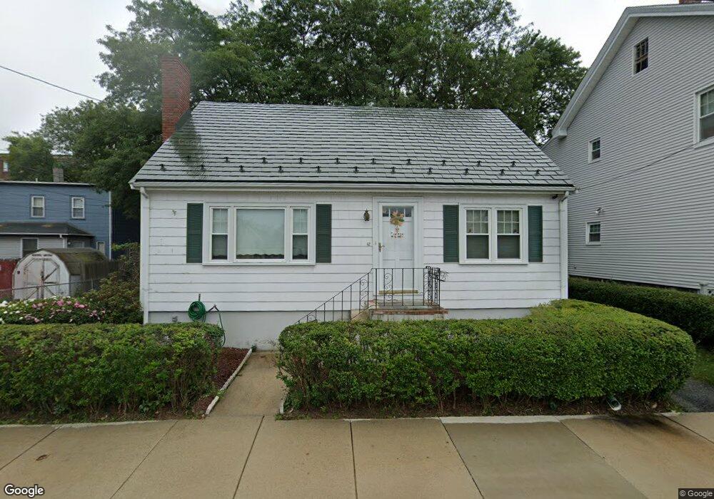
42 Sterling St Malden, MA 02148
West End NeighborhoodEstimated Value: $680,000 - $731,000
3
Beds
2
Baths
1,436
Sq Ft
$487/Sq Ft
Est. Value
About This Home
This home is located at 42 Sterling St, Malden, MA 02148 and is currently estimated at $699,292, approximately $486 per square foot. 42 Sterling St is a home located in Middlesex County with nearby schools including Malden High School, Mystic Valley Regional Charter School, and Cheverus Centennial School.
Ownership History
Date
Name
Owned For
Owner Type
Purchase Details
Closed on
Oct 31, 2006
Sold by
Santosuosso Robert C and Santosuosso Virginia M
Bought by
Edwards John J and Edwards Margaret M
Current Estimated Value
Home Financials for this Owner
Home Financials are based on the most recent Mortgage that was taken out on this home.
Original Mortgage
$279,200
Outstanding Balance
$167,644
Interest Rate
6.48%
Mortgage Type
Purchase Money Mortgage
Estimated Equity
$531,648
Create a Home Valuation Report for This Property
The Home Valuation Report is an in-depth analysis detailing your home's value as well as a comparison with similar homes in the area
Home Values in the Area
Average Home Value in this Area
Purchase History
| Date | Buyer | Sale Price | Title Company |
|---|---|---|---|
| Edwards John J | $350,000 | -- |
Source: Public Records
Mortgage History
| Date | Status | Borrower | Loan Amount |
|---|---|---|---|
| Open | Edwards John J | $279,200 |
Source: Public Records
Tax History
| Year | Tax Paid | Tax Assessment Tax Assessment Total Assessment is a certain percentage of the fair market value that is determined by local assessors to be the total taxable value of land and additions on the property. | Land | Improvement |
|---|---|---|---|---|
| 2025 | $64 | $563,300 | $285,500 | $277,800 |
| 2024 | $6,110 | $522,700 | $269,600 | $253,100 |
| 2023 | $5,923 | $485,900 | $245,800 | $240,100 |
| 2022 | $5,625 | $455,500 | $222,000 | $233,500 |
| 2021 | $5,226 | $425,200 | $198,200 | $227,000 |
| 2020 | $5,026 | $397,300 | $191,500 | $205,800 |
| 2019 | $5,607 | $422,500 | $182,400 | $240,100 |
| 2018 | $5,364 | $380,700 | $150,700 | $230,000 |
| 2017 | $5,142 | $362,900 | $144,700 | $218,200 |
| 2016 | $4,989 | $329,100 | $132,800 | $196,300 |
| 2015 | $4,865 | $309,300 | $126,500 | $182,800 |
| 2014 | $4,687 | $291,100 | $115,000 | $176,100 |
Source: Public Records
Map
Nearby Homes
- 394-396 Pleasant St
- 1 Dexter St Unit 5
- 46A Wentworth St
- 112 Maple St Unit 6
- 217 Highland Ave Unit 1
- 519 Highland Ave
- 186 West St
- 307-309 Clifton St
- 322 Pearl St
- 28 Murray Hill Rd
- 56-58 Waverly St
- 117 Emerald St Unit 117
- 115 Emerald St
- 35 Fells Avenue Terrace
- 500 Salem St Unit 307
- 11 Girard Rd
- 23 Murray Hill Rd
- 209 Summer St
- 502 Medford St Unit B
- 15 Landry Rd
- 46 Sterling St Unit 48
- 46 Sterling St Unit 2
- 34 Sterling St
- 34 Sterling St Unit Single Fam
- 34 1/2 Sterling St
- 36 Sterling St
- 36 Sterling St Unit 1
- 39 Sterling St
- 35 Sterling St
- 52 Sterling St
- 30 Sterling St Unit 32
- 49 Sterling St
- 51 Sterling St Unit 53
- 29 Sterling St
- 58 Sterling St
- 23 Russell Park
- 18 Stadium Rd
- 5 Stadium Rd
- 57 Sterling St
- 20 Sterling St
Your Personal Tour Guide
Ask me questions while you tour the home.