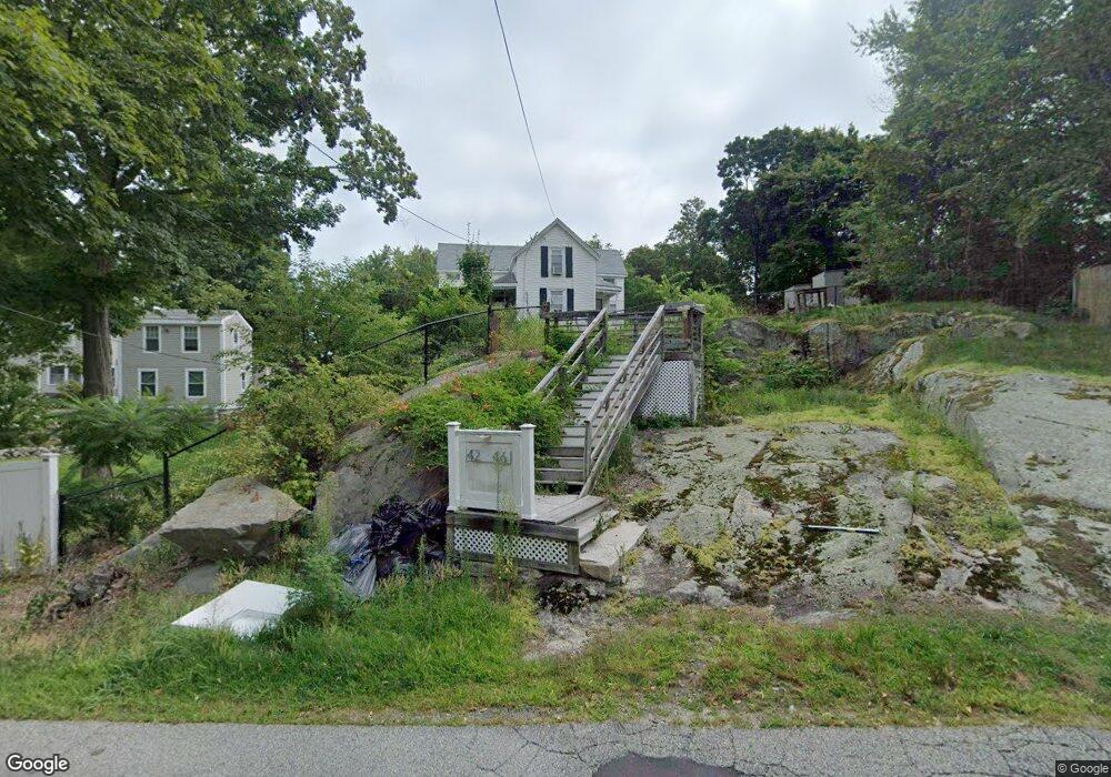
42 Stetson St Unit 46 Weymouth, MA 02188
Weymouth Landing NeighborhoodEstimated Value: $610,000 - $767,000
5
Beds
2
Baths
1,666
Sq Ft
$396/Sq Ft
Est. Value
About This Home
This home is located at 42 Stetson St Unit 46, Weymouth, MA 02188 and is currently estimated at $659,898, approximately $396 per square foot. 42 Stetson St Unit 46 is a home located in Norfolk County with nearby schools including Frederick C Murphy, Abigail Adams Middle School, and Weymouth Middle School Chapman.
Ownership History
Date
Name
Owned For
Owner Type
Purchase Details
Closed on
Sep 1, 2006
Sold by
Leitao Donna C and Leitao Lucien
Bought by
Ramos Maurio E
Current Estimated Value
Home Financials for this Owner
Home Financials are based on the most recent Mortgage that was taken out on this home.
Original Mortgage
$245,600
Interest Rate
6.83%
Mortgage Type
Purchase Money Mortgage
Purchase Details
Closed on
Dec 9, 1992
Sold by
Peter J Est Bongarzone
Bought by
Tullis Robert D
Create a Home Valuation Report for This Property
The Home Valuation Report is an in-depth analysis detailing your home's value as well as a comparison with similar homes in the area
Home Values in the Area
Average Home Value in this Area
Purchase History
| Date | Buyer | Sale Price | Title Company |
|---|---|---|---|
| Ramos Maurio E | $307,000 | -- | |
| Tullis Robert D | $76,150 | -- |
Source: Public Records
Mortgage History
| Date | Status | Borrower | Loan Amount |
|---|---|---|---|
| Open | Tullis Robert D | $335,086 | |
| Closed | Tullis Robert D | $332,006 | |
| Closed | Ramos Maurio E | $245,600 | |
| Closed | Ramos Maurio E | $61,400 | |
| Previous Owner | Tullis Robert D | $33,000 |
Source: Public Records
Tax History Compared to Growth
Tax History
| Year | Tax Paid | Tax Assessment Tax Assessment Total Assessment is a certain percentage of the fair market value that is determined by local assessors to be the total taxable value of land and additions on the property. | Land | Improvement |
|---|---|---|---|---|
| 2025 | $5,266 | $521,400 | $224,500 | $296,900 |
| 2024 | $5,103 | $496,900 | $213,900 | $283,000 |
| 2023 | $4,939 | $472,600 | $198,000 | $274,600 |
| 2022 | $4,821 | $420,700 | $183,400 | $237,300 |
| 2021 | $4,513 | $384,400 | $183,400 | $201,000 |
| 2020 | $4,334 | $363,600 | $183,400 | $180,200 |
| 2019 | $4,229 | $348,900 | $176,300 | $172,600 |
| 2018 | $3,931 | $314,500 | $167,900 | $146,600 |
| 2017 | $3,659 | $285,600 | $159,900 | $125,700 |
| 2016 | $3,443 | $269,000 | $153,800 | $115,200 |
| 2015 | $3,248 | $251,800 | $146,800 | $105,000 |
| 2014 | $3,176 | $238,800 | $136,600 | $102,200 |
Source: Public Records
Map
Nearby Homes
- 16 Lindbergh Ave
- 23-25 Lindbergh Ave
- 76 Kingman St
- 15 Summer St
- 114 Broad St Unit D
- 114 Broad St Unit C
- 33 Congress St
- 19 Vine St Unit 3
- 19 Vine St Unit 1
- 11 Richmond St
- 122 Washington St Unit 22
- 24 Blake Rd
- 54 Federal St
- 36 Brookside Rd
- 37 Lantern Ln
- 286 Broad St
- 12 Klasson Ln
- 141 Commercial St Unit 9
- 51 Faxon St
- 294 Commercial St