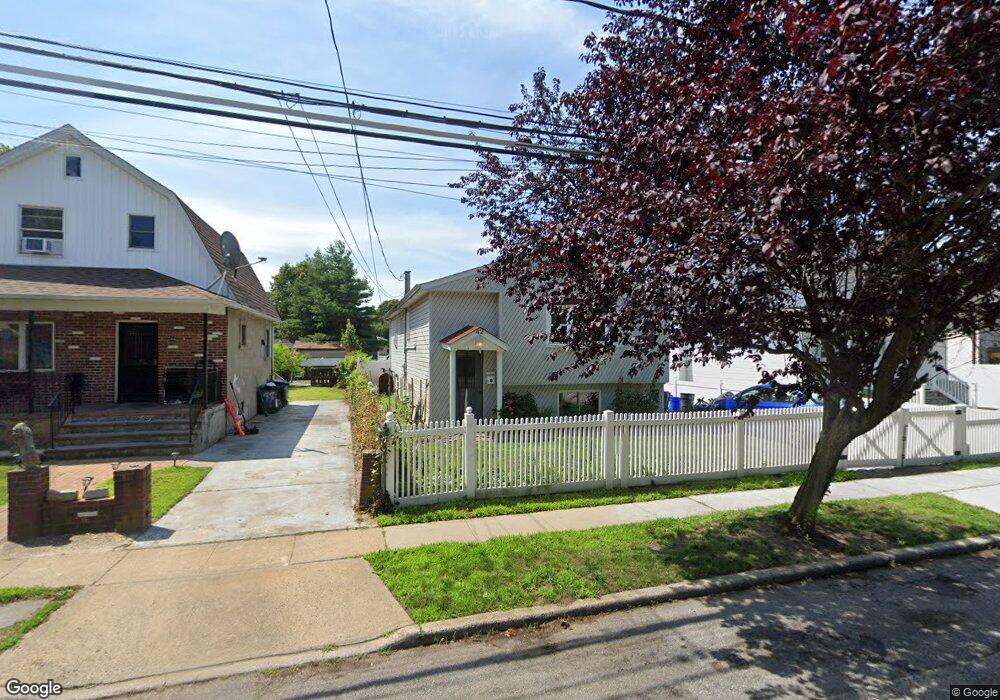
42 Stevens St Freeport, NY 11520
Estimated Value: $662,000 - $698,838
Studio
2
Baths
1,049
Sq Ft
$649/Sq Ft
Est. Value
About This Home
This home is located at 42 Stevens St, Freeport, NY 11520 and is currently estimated at $680,419, approximately $648 per square foot. 42 Stevens St is a home located in Nassau County with nearby schools including Caroline G. Atkinson Intermediate School, Columbus Avenue School, and John W Dodd Middle School.
Ownership History
Date
Name
Owned For
Owner Type
Purchase Details
Closed on
Apr 5, 2023
Sold by
Moz Luis A and Moz Alicia H
Bought by
Moz Alex
Current Estimated Value
Purchase Details
Closed on
Feb 11, 2005
Sold by
Rodriguez Oscar
Purchase Details
Closed on
Jul 14, 2003
Sold by
Rodriguez Alex
Purchase Details
Closed on
Oct 21, 1999
Sold by
Ramirez Amilcar A
Bought by
Rodriguez Alex M and Rodriguez Oscar M
Home Financials for this Owner
Home Financials are based on the most recent Mortgage that was taken out on this home.
Original Mortgage
$142,500
Interest Rate
7.73%
Mortgage Type
Purchase Money Mortgage
Purchase Details
Closed on
Oct 15, 1997
Create a Home Valuation Report for This Property
The Home Valuation Report is an in-depth analysis detailing your home's value as well as a comparison with similar homes in the area
Home Values in the Area
Average Home Value in this Area
Purchase History
| Date | Buyer | Sale Price | Title Company |
|---|---|---|---|
| Moz Alex | -- | Phoenix Title Ins Agcy Inc | |
| -- | -- | -- | |
| -- | -- | -- | |
| Rodriguez Alex M | $150,000 | -- | |
| -- | -- | -- |
Source: Public Records
Mortgage History
| Date | Status | Borrower | Loan Amount |
|---|---|---|---|
| Previous Owner | Rodriguez Alex M | $142,500 |
Source: Public Records
Tax History
| Year | Tax Paid | Tax Assessment Tax Assessment Total Assessment is a certain percentage of the fair market value that is determined by local assessors to be the total taxable value of land and additions on the property. | Land | Improvement |
|---|---|---|---|---|
| 2025 | $9,142 | $424 | $120 | $304 |
| 2024 | $961 | $424 | $120 | $304 |
Source: Public Records
Map
Nearby Homes
- 72 Woodside Ave
- 63 E Seaman Ave
- 35 W Seaman Ave
- 101 Harris Ave
- 63 Lincoln Place
- 188 Woodside Ave
- 247 N Columbus Ave
- 67 E Dean St
- 12 King St
- 365 Wallace St
- 400 N Columbus Ave
- 173 E Seaman Ave
- 251 N Long Beach Ave
- 152 Evans Ave
- 45 Dehnhoff Ave
- 27 W Woodbine Dr
- 32 Dawes Ave
- 161 Wallace St
- 85 Bedford Ave
- 60 Connecticut Ave
- 44 Stevens St
- 40 Stevens St
- 46 Stevens St
- 38 Stevens St
- 48 Stevens St
- 36 Stevens St
- 28 Independence Ave
- 26 Independence Ave
- 24 Independence Ave
- 30 Independence Ave
- 22 Independence Ave
- 50 Stevens St
- 34 Stevens St
- 32 Independence Ave
- 15 Independence Ave
- 52 Stevens St
- 34 Independence Ave
- 18 Independence Ave
- 36 Independence Ave
- 54 Stevens St
Your Personal Tour Guide
Ask me questions while you tour the home.