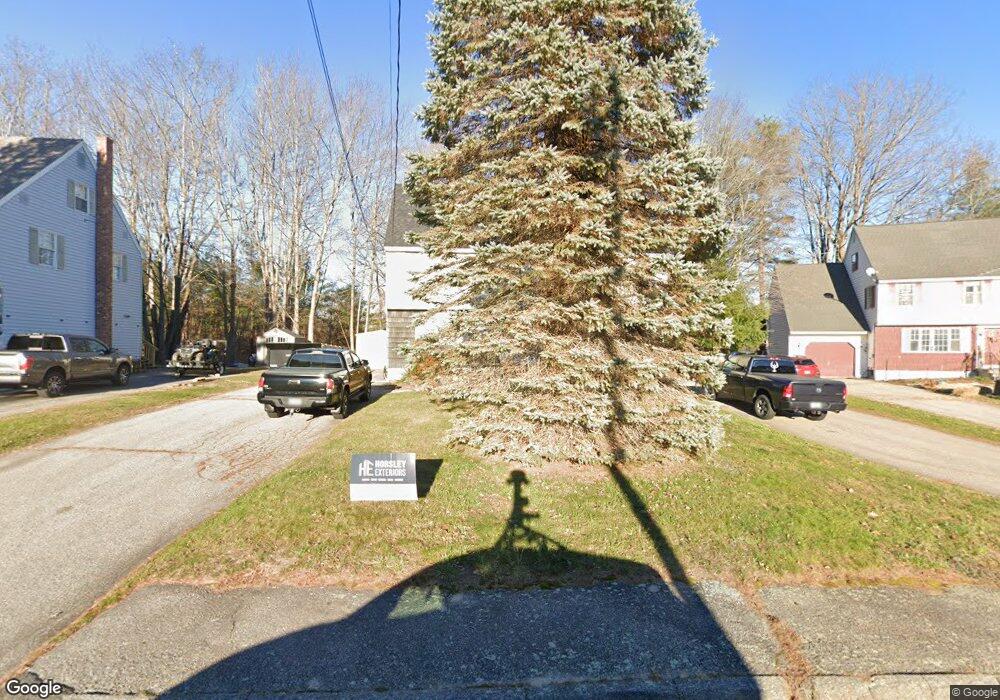
42 Stockman Ave Saco, ME 04072
Central Saco NeighborhoodEstimated Value: $548,030 - $589,000
4
Beds
2
Baths
2,328
Sq Ft
$244/Sq Ft
Est. Value
About This Home
This home is located at 42 Stockman Ave, Saco, ME 04072 and is currently estimated at $569,008, approximately $244 per square foot. 42 Stockman Ave is a home located in York County with nearby schools including C K Burns School, Saco Middle School, and Florence Lombard Christian School.
Ownership History
Date
Name
Owned For
Owner Type
Purchase Details
Closed on
Oct 20, 2009
Sold by
Geraldine A Strong T
Bought by
Mula-Howard Brian
Current Estimated Value
Home Financials for this Owner
Home Financials are based on the most recent Mortgage that was taken out on this home.
Original Mortgage
$233,000
Outstanding Balance
$152,611
Interest Rate
5.14%
Mortgage Type
Purchase Money Mortgage
Estimated Equity
$416,397
Create a Home Valuation Report for This Property
The Home Valuation Report is an in-depth analysis detailing your home's value as well as a comparison with similar homes in the area
Home Values in the Area
Average Home Value in this Area
Purchase History
| Date | Buyer | Sale Price | Title Company |
|---|---|---|---|
| Mula-Howard Brian | -- | -- |
Source: Public Records
Mortgage History
| Date | Status | Borrower | Loan Amount |
|---|---|---|---|
| Open | Mula-Howard Brian | $233,000 |
Source: Public Records
Tax History Compared to Growth
Tax History
| Year | Tax Paid | Tax Assessment Tax Assessment Total Assessment is a certain percentage of the fair market value that is determined by local assessors to be the total taxable value of land and additions on the property. | Land | Improvement |
|---|---|---|---|---|
| 2024 | $5,961 | $424,300 | $129,800 | $294,500 |
| 2023 | $6,258 | $424,300 | $129,800 | $294,500 |
| 2022 | $5,552 | $302,900 | $98,900 | $204,000 |
| 2021 | $5,237 | $277,400 | $88,300 | $189,100 |
| 2020 | $4,914 | $249,800 | $77,700 | $172,100 |
| 2019 | $4,841 | $249,800 | $77,700 | $172,100 |
| 2018 | $4,704 | $242,700 | $70,600 | $172,100 |
| 2017 | $4,417 | $227,900 | $70,600 | $157,300 |
| 2016 | $4,236 | $218,100 | $62,400 | $155,700 |
| 2015 | $4,155 | $216,200 | $62,400 | $153,800 |
| 2014 | $4,026 | $216,200 | $62,400 | $153,800 |
| 2013 | $4,017 | $216,200 | $62,400 | $153,800 |
Source: Public Records
Map
Nearby Homes
- 61 Ocean Park Rd Unit 11
- 4 Ben Way
- 15 Lucille St
- 22 Ocean Park Rd Unit 133
- 22 Ocean Park Rd Unit 136
- 18 Heritage Way Unit 14
- 11 Louise St
- 36 Lafayette St
- 16 Heritage Way Unit 17
- 5 Academy Place Unit 57
- 8 Heritage Way Unit 15
- 15 Lafayette St
- 162 Beach St Unit 10
- 29 Old Orchard Rd Unit 10
- 642 Main St
- 11 Smithwheel Rd Unit 15
- 4 Mainsail Ln Unit 4
- 39 Smithwheel Rd Unit 1
- 39 Smithwheel Rd Unit 24
- 39 Smithwheel Rd Unit 34
- 40 Stockman Ave
- 44 Stockman Ave
- 0 Mabel St
- 38 Stockman Ave
- 45 Stockman Ave
- 47 Stockman Ave
- 12 Mabel Ave
- TBD Mabel Ave Unit 101
- TBD Mabel Ave Unit 102
- 36 Stockman Ave
- 0 Mabel Ave
- 10 Mabel Ave
- 20 Mabel Ave
- 1 Mabel Ave
- 28 Coolidge Ave
- 42 Cumberland Ave Unit 4
- 42 Cumberland Ave Unit 3
- 42 Cumberland Ave Unit 2
- 42 Cumberland Ave Unit 1
- 42 Cumberland Ave