42 Swanson Ct Unit 31A Boxborough, MA 01719
Estimated Value: $236,000 - $299,000
2
Beds
1
Bath
840
Sq Ft
$309/Sq Ft
Est. Value
About This Home
This home is located at 42 Swanson Ct Unit 31A, Boxborough, MA 01719 and is currently estimated at $259,391, approximately $308 per square foot. 42 Swanson Ct Unit 31A is a home located in Middlesex County with nearby schools including Acton-Boxborough Regional High School.
Ownership History
Date
Name
Owned For
Owner Type
Purchase Details
Closed on
Jul 28, 2005
Sold by
Ec Rt and Kadison Linda S
Bought by
Silva Alfio A
Current Estimated Value
Home Financials for this Owner
Home Financials are based on the most recent Mortgage that was taken out on this home.
Original Mortgage
$134,900
Outstanding Balance
$70,910
Interest Rate
5.67%
Mortgage Type
Purchase Money Mortgage
Estimated Equity
$188,481
Create a Home Valuation Report for This Property
The Home Valuation Report is an in-depth analysis detailing your home's value as well as a comparison with similar homes in the area
Home Values in the Area
Average Home Value in this Area
Purchase History
| Date | Buyer | Sale Price | Title Company |
|---|---|---|---|
| Silva Alfio A | $140,750 | -- |
Source: Public Records
Mortgage History
| Date | Status | Borrower | Loan Amount |
|---|---|---|---|
| Open | Silva Alfio A | $134,900 |
Source: Public Records
Tax History Compared to Growth
Tax History
| Year | Tax Paid | Tax Assessment Tax Assessment Total Assessment is a certain percentage of the fair market value that is determined by local assessors to be the total taxable value of land and additions on the property. | Land | Improvement |
|---|---|---|---|---|
| 2025 | $3,447 | $227,700 | $0 | $227,700 |
| 2024 | $3,061 | $204,200 | $0 | $204,200 |
| 2023 | $2,733 | $176,100 | $0 | $176,100 |
| 2022 | $2,568 | $147,400 | $0 | $147,400 |
| 2020 | $2,336 | $139,700 | $0 | $139,700 |
| 2019 | $2,018 | $122,900 | $0 | $122,900 |
| 2018 | $1,978 | $120,300 | $0 | $120,300 |
| 2017 | $1,799 | $107,000 | $0 | $107,000 |
| 2016 | $1,623 | $99,200 | $0 | $99,200 |
| 2015 | $1,533 | $92,100 | $0 | $92,100 |
| 2014 | $1,567 | $88,600 | $0 | $88,600 |
Source: Public Records
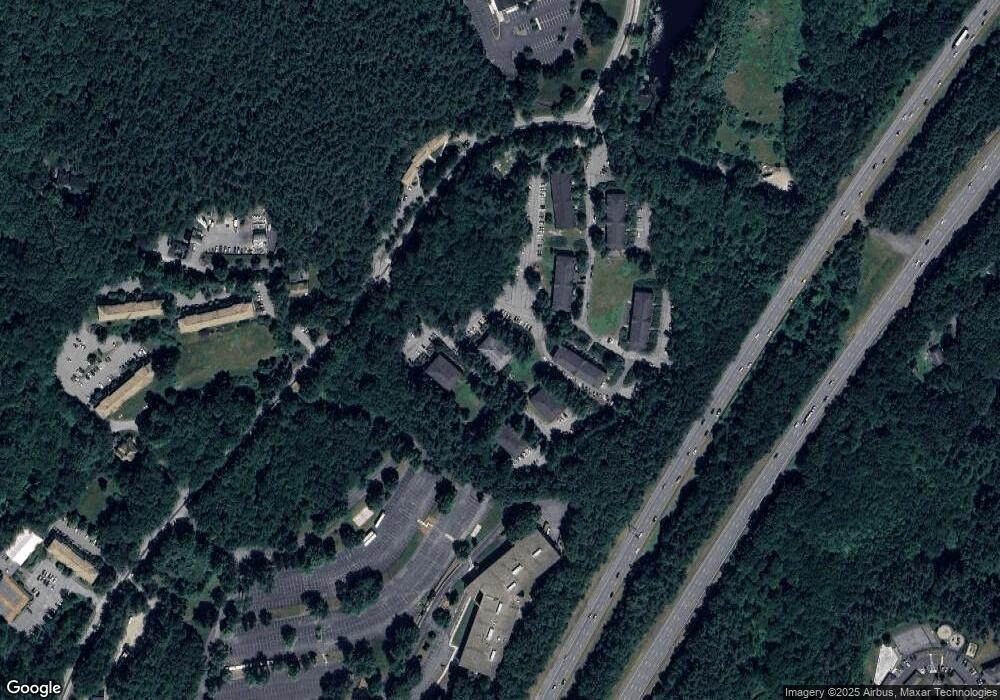
Map
Nearby Homes
- 42 Swanson Ct Unit 14A
- 53 Swanson Ct Unit 36C
- 50 Spencer Rd Unit 36
- 58 Spencer Rd Unit 18K
- 220 Swanson Rd Unit 605
- 220 Swanson Rd Unit 606
- 220 Swanson Rd Unit 604
- 176 Swanson Rd Unit 309
- 1155 Burroughs Rd
- 310 Codman Hill Rd Unit 35D
- 139 Picnic St
- 166 Littleton Rd Unit 3
- 63 Leonard Rd Unit 63
- 777 Depot Rd
- 24 Fairbanks St
- 11 Fairbanks St Unit 2
- 62 Waite Rd
- 5 Fairbank St
- 332 Old Littleton Rd
- 14 Pine Hill Way
- 42 Swanson Ct Unit 36A
- 42 Swanson Ct Unit 35A
- 42 Swanson Ct Unit 34A
- 42 Swanson Ct Unit 33A
- 42 Swanson Ct Unit 32A
- 42 Swanson Ct Unit 26A
- 42 Swanson Ct Unit 25A
- 42 Swanson Ct Unit 24A
- 42 Swanson Ct Unit 23A
- 42 Swanson Ct Unit 22A
- 42 Swanson Ct Unit 21A
- 42 Swanson Ct Unit 16A
- 42 Swanson Ct Unit 15A
- 42 Swanson Ct Unit 13A
- 42 Swanson Ct Unit 12A
- 42 Swanson Ct Unit 11A
- 42 Swanson Ct Unit 25A,42
- 42 Swanson Ct Unit 36A,42
- 42 Swanson Ct Unit 16A 42
- 42 Swanson Ct