42 Swanson Ct Unit 32A Boxborough, MA 01719
Estimated Value: $236,000 - $308,000
2
Beds
1
Bath
840
Sq Ft
$311/Sq Ft
Est. Value
About This Home
This home is located at 42 Swanson Ct Unit 32A, Boxborough, MA 01719 and is currently estimated at $260,925, approximately $310 per square foot. 42 Swanson Ct Unit 32A is a home located in Middlesex County with nearby schools including Acton-Boxborough Regional High School.
Ownership History
Date
Name
Owned For
Owner Type
Purchase Details
Closed on
Aug 24, 2006
Sold by
Zhong Lisa and Shen Weixing
Bought by
Mahmood Waheeda
Current Estimated Value
Home Financials for this Owner
Home Financials are based on the most recent Mortgage that was taken out on this home.
Original Mortgage
$108,800
Outstanding Balance
$65,570
Interest Rate
6.83%
Mortgage Type
Purchase Money Mortgage
Estimated Equity
$195,355
Purchase Details
Closed on
Jun 13, 2001
Sold by
Mailman Paul A
Bought by
Shen Weixing and Zhong Lisa
Home Financials for this Owner
Home Financials are based on the most recent Mortgage that was taken out on this home.
Original Mortgage
$80,000
Interest Rate
7.15%
Mortgage Type
Purchase Money Mortgage
Create a Home Valuation Report for This Property
The Home Valuation Report is an in-depth analysis detailing your home's value as well as a comparison with similar homes in the area
Home Values in the Area
Average Home Value in this Area
Purchase History
| Date | Buyer | Sale Price | Title Company |
|---|---|---|---|
| Mahmood Waheeda | $136,000 | -- | |
| Shen Weixing | $107,000 | -- |
Source: Public Records
Mortgage History
| Date | Status | Borrower | Loan Amount |
|---|---|---|---|
| Open | Mahmood Waheeda | $108,800 | |
| Previous Owner | Shen Weixing | $80,000 |
Source: Public Records
Tax History Compared to Growth
Tax History
| Year | Tax Paid | Tax Assessment Tax Assessment Total Assessment is a certain percentage of the fair market value that is determined by local assessors to be the total taxable value of land and additions on the property. | Land | Improvement |
|---|---|---|---|---|
| 2025 | $3,447 | $227,700 | $0 | $227,700 |
| 2024 | $3,061 | $204,200 | $0 | $204,200 |
| 2023 | $2,733 | $176,100 | $0 | $176,100 |
| 2022 | $2,568 | $147,400 | $0 | $147,400 |
| 2020 | $2,336 | $139,700 | $0 | $139,700 |
| 2019 | $2,018 | $122,900 | $0 | $122,900 |
| 2018 | $1,978 | $120,300 | $0 | $120,300 |
| 2017 | $1,799 | $107,000 | $0 | $107,000 |
| 2016 | $1,623 | $99,200 | $0 | $99,200 |
| 2015 | $1,533 | $92,100 | $0 | $92,100 |
| 2014 | $1,567 | $88,600 | $0 | $88,600 |
Source: Public Records
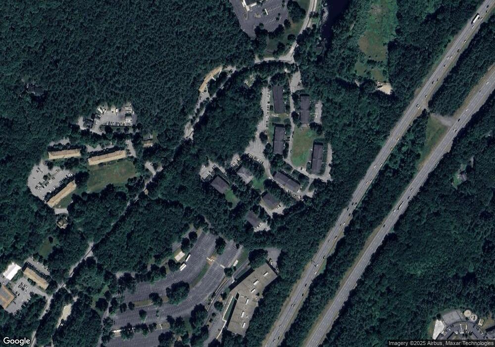
Map
Nearby Homes
- 42 Swanson Ct Unit 14A
- 53 Swanson Ct Unit 36C
- 50 Spencer Rd Unit 36
- 58 Spencer Rd Unit 18K
- 220 Swanson Rd Unit 605
- 220 Swanson Rd Unit 606
- 220 Swanson Rd Unit 604
- 176 Swanson Rd Unit 309
- 1155 Burroughs Rd
- 310 Codman Hill Rd Unit 35D
- 139 Picnic St
- 166 Littleton Rd Unit 3
- 63 Leonard Rd Unit 63
- 777 Depot Rd
- 24 Fairbanks St
- 4 Bolton Rd
- 11 Fairbanks St Unit 2
- 62 Waite Rd
- 5 Fairbank St
- 332 Old Littleton Rd
- 42 Swanson Ct Unit 36A
- 42 Swanson Ct Unit 35A
- 42 Swanson Ct Unit 34A
- 42 Swanson Ct Unit 33A
- 42 Swanson Ct Unit 31A
- 42 Swanson Ct Unit 26A
- 42 Swanson Ct Unit 25A
- 42 Swanson Ct Unit 24A
- 42 Swanson Ct Unit 23A
- 42 Swanson Ct Unit 22A
- 42 Swanson Ct Unit 21A
- 42 Swanson Ct Unit 16A
- 42 Swanson Ct Unit 15A
- 42 Swanson Ct Unit 13A
- 42 Swanson Ct Unit 12A
- 42 Swanson Ct Unit 11A
- 42 Swanson Ct Unit 25A,42
- 42 Swanson Ct Unit 36A,42
- 42 Swanson Ct Unit 16A 42
- 42 Swanson Ct