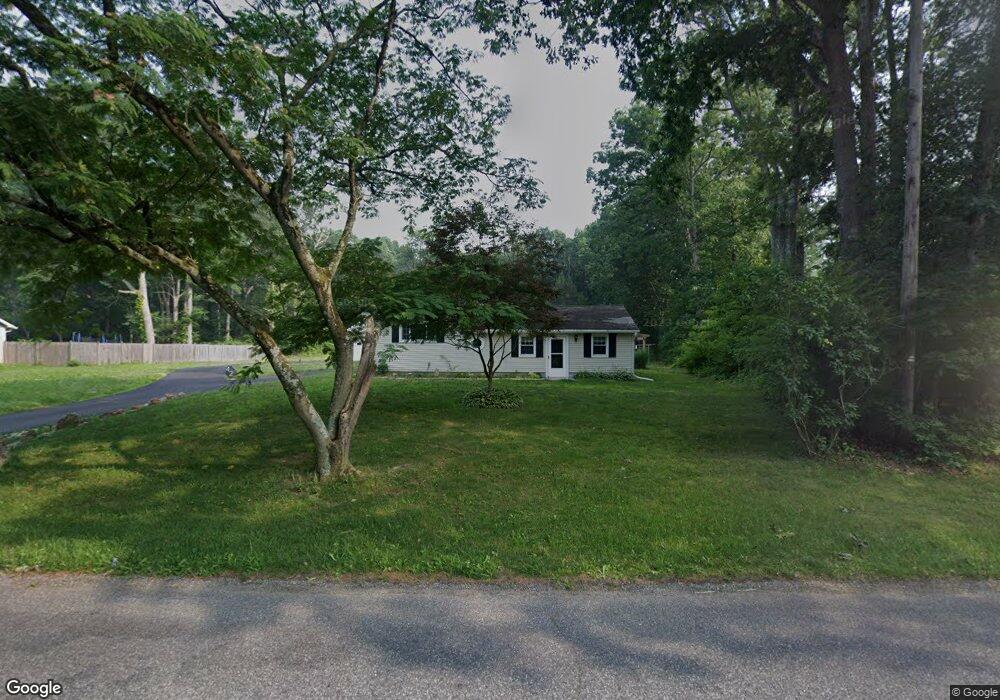
42 Taylor Rd Newfield, NJ 08344
Estimated Value: $198,092 - $397,000
--
Bed
--
Bath
1,384
Sq Ft
$225/Sq Ft
Est. Value
About This Home
This home is located at 42 Taylor Rd, Newfield, NJ 08344 and is currently estimated at $311,023, approximately $224 per square foot. 42 Taylor Rd is a home located in Salem County with nearby schools including Upper Pittsgrove School.
Ownership History
Date
Name
Owned For
Owner Type
Purchase Details
Closed on
Feb 10, 2023
Sold by
Mason Lisa A
Bought by
Zeak Jessica
Current Estimated Value
Purchase Details
Closed on
Dec 17, 2019
Sold by
Post Randy D and Mason Lisa A
Bought by
Mason Lisa A
Home Financials for this Owner
Home Financials are based on the most recent Mortgage that was taken out on this home.
Original Mortgage
$141,400
Interest Rate
5.87%
Mortgage Type
New Conventional
Purchase Details
Closed on
Jul 2, 1993
Bought by
Post Randy D + Lisa A
Create a Home Valuation Report for This Property
The Home Valuation Report is an in-depth analysis detailing your home's value as well as a comparison with similar homes in the area
Home Values in the Area
Average Home Value in this Area
Purchase History
| Date | Buyer | Sale Price | Title Company |
|---|---|---|---|
| Zeak Jessica | $135,021 | Velocity Title | |
| Zeak Jessica | $135,021 | Velocity Title | |
| Mason Lisa A | -- | Foundation Title Llc | |
| Post Randy D + Lisa A | $91,000 | -- |
Source: Public Records
Mortgage History
| Date | Status | Borrower | Loan Amount |
|---|---|---|---|
| Previous Owner | Mason Lisa A | $141,400 |
Source: Public Records
Tax History Compared to Growth
Tax History
| Year | Tax Paid | Tax Assessment Tax Assessment Total Assessment is a certain percentage of the fair market value that is determined by local assessors to be the total taxable value of land and additions on the property. | Land | Improvement |
|---|---|---|---|---|
| 2025 | $6,138 | $199,300 | $66,900 | $132,400 |
| 2024 | $5,941 | $199,300 | $66,900 | $132,400 |
| 2023 | $5,941 | $199,300 | $66,900 | $132,400 |
| 2022 | $5,810 | $199,300 | $66,900 | $132,400 |
| 2021 | $5,576 | $199,300 | $66,900 | $132,400 |
| 2020 | $5,427 | $199,300 | $66,900 | $132,400 |
| 2019 | $5,369 | $204,000 | $92,000 | $112,000 |
| 2018 | $5,127 | $204,000 | $92,000 | $112,000 |
| 2017 | $5,122 | $204,000 | $92,000 | $112,000 |
| 2016 | $4,898 | $204,000 | $92,000 | $112,000 |
| 2015 | $4,619 | $204,000 | $92,000 | $112,000 |
| 2014 | $4,461 | $204,000 | $92,000 | $112,000 |
Source: Public Records
Map
Nearby Homes
- 375 3 Bridge Rd
- 375 3 Bridge Rd
- 41 Taylor Rd
- 38 Taylor Rd
- 36 Taylor Rd
- 377 3 Bridge Rd
- 47 Taylor Rd
- 381 3 Bridge Rd
- 26 Taylor Rd
- 52 Taylor Rd
- 374 Three Bridge Rd
- 385 Three Bridge Rd
- 370 Three Bridge Rd
- 364 Three Bridge Rd
- 385 3 Bridge Rd
- 3 Three Bridge Rd
- 140 Harding Hwy
- 55 Taylor Rd
- 390 3 Bridge Rd
- 360 Three Bridge Rd