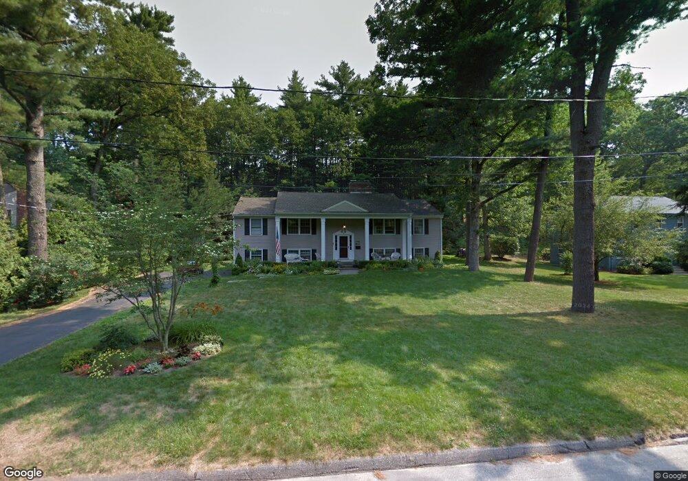
42 Townsend Dr West Boylston, MA 01583
Estimated Value: $633,774 - $784,000
4
Beds
4
Baths
1,752
Sq Ft
$402/Sq Ft
Est. Value
About This Home
This home is located at 42 Townsend Dr, West Boylston, MA 01583 and is currently estimated at $703,444, approximately $401 per square foot. 42 Townsend Dr is a home located in Worcester County with nearby schools including Major Edwards Elementary School and West Boylston Junior/Senior High School.
Ownership History
Date
Name
Owned For
Owner Type
Purchase Details
Closed on
Aug 29, 1997
Sold by
James M Haines Ft and Haines James M
Bought by
Phelps Richard J and Phelps Sally J
Current Estimated Value
Purchase Details
Closed on
Sep 20, 1989
Sold by
Carter Deanna
Bought by
Haines James
Create a Home Valuation Report for This Property
The Home Valuation Report is an in-depth analysis detailing your home's value as well as a comparison with similar homes in the area
Home Values in the Area
Average Home Value in this Area
Purchase History
| Date | Buyer | Sale Price | Title Company |
|---|---|---|---|
| Phelps Richard J | $195,000 | -- | |
| Haines James | $235,000 | -- |
Source: Public Records
Mortgage History
| Date | Status | Borrower | Loan Amount |
|---|---|---|---|
| Open | Haines James | $133,000 | |
| Closed | Haines James | $182,000 | |
| Closed | Haines James | $166,400 |
Source: Public Records
Tax History Compared to Growth
Tax History
| Year | Tax Paid | Tax Assessment Tax Assessment Total Assessment is a certain percentage of the fair market value that is determined by local assessors to be the total taxable value of land and additions on the property. | Land | Improvement |
|---|---|---|---|---|
| 2025 | $87 | $626,300 | $114,300 | $512,000 |
| 2024 | $8,061 | $545,400 | $117,500 | $427,900 |
| 2023 | $7,611 | $488,500 | $116,400 | $372,100 |
| 2022 | $7,396 | $418,300 | $119,600 | $298,700 |
| 2021 | $4,331 | $395,700 | $113,800 | $281,900 |
| 2020 | $7,239 | $389,600 | $116,800 | $272,800 |
| 2019 | $7,063 | $374,700 | $116,800 | $257,900 |
| 2018 | $6,498 | $347,100 | $116,800 | $230,300 |
| 2017 | $3,556 | $328,000 | $116,800 | $211,200 |
| 2016 | $5,638 | $305,600 | $108,900 | $196,700 |
| 2015 | $5,427 | $295,900 | $107,800 | $188,100 |
Source: Public Records
Map
Nearby Homes
- 113 Newton St
- 5 Marsh Hawk Way
- 16 N Main St
- 12 Winthrop St
- 20 Holt St Unit G
- 101 Sterling St
- 64 Worcester St
- 156 Prospect St
- 136 Sterling St Unit A3
- 112 N Main St
- 225 Prescott St
- 39 Bowen St
- 152 Worcester St Unit 8
- 14 Maple St
- 363 Prospect St
- 216 River St
- 0 North St
- 687 Bullard St
- 47 Preservation Ln
- 9 Kings Mountain Dr
- 72 Townsend Dr Unit 267
- 46 Townsend Dr
- 38 Townsend Dr
- 58 Townsend Dr
- 56 Townsend Dr
- 29 Townsend Dr
- 88 Pine Arden Dr
- 74 Pine Arden Dr
- 32 Townsend Dr
- 50 Townsend Dr
- 77 Pine Arden Dr
- 25 Townsend Dr
- 85 Pine Arden Dr
- 66 Pine Arden Dr
- 19 Townsend Dr
- 26 Townsend Dr
- 71 Pine Arden Dr
- 15 Townsend Dr
- 93 Pine Arden Dr
- 22 Townsend Dr