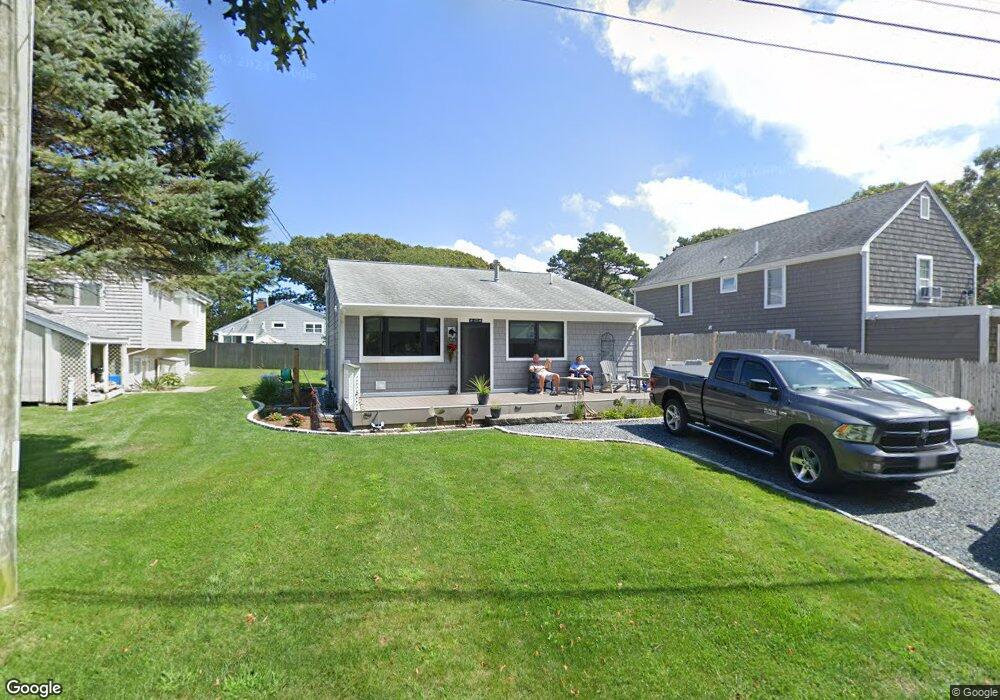
42 Union Wharf Rd Dennis Port, MA 02639
Dennis Port NeighborhoodEstimated Value: $636,000 - $839,993
4
Beds
2
Baths
1,201
Sq Ft
$605/Sq Ft
Est. Value
About This Home
This home is located at 42 Union Wharf Rd, Dennis Port, MA 02639 and is currently estimated at $726,248, approximately $604 per square foot. 42 Union Wharf Rd is a home located in Barnstable County with nearby schools including Dennis-Yarmouth Regional High School and St. Pius X. School.
Ownership History
Date
Name
Owned For
Owner Type
Purchase Details
Closed on
Nov 20, 1998
Sold by
Lemonias James J and Lemonias Evanthia
Bought by
Wolff Kenneth P and Wolff Helen
Current Estimated Value
Home Financials for this Owner
Home Financials are based on the most recent Mortgage that was taken out on this home.
Original Mortgage
$120,600
Interest Rate
6.49%
Mortgage Type
Purchase Money Mortgage
Create a Home Valuation Report for This Property
The Home Valuation Report is an in-depth analysis detailing your home's value as well as a comparison with similar homes in the area
Home Values in the Area
Average Home Value in this Area
Purchase History
| Date | Buyer | Sale Price | Title Company |
|---|---|---|---|
| Wolff Kenneth P | $134,000 | -- |
Source: Public Records
Mortgage History
| Date | Status | Borrower | Loan Amount |
|---|---|---|---|
| Open | Wolff Kenneth P | $100,000 | |
| Closed | Wolff Kenneth P | $120,600 |
Source: Public Records
Tax History Compared to Growth
Tax History
| Year | Tax Paid | Tax Assessment Tax Assessment Total Assessment is a certain percentage of the fair market value that is determined by local assessors to be the total taxable value of land and additions on the property. | Land | Improvement |
|---|---|---|---|---|
| 2025 | $3,009 | $694,900 | $279,000 | $415,900 |
| 2024 | $2,801 | $638,100 | $268,300 | $369,800 |
| 2023 | $2,709 | $580,000 | $243,900 | $336,100 |
| 2022 | $2,192 | $391,500 | $192,200 | $199,300 |
| 2021 | $4,374 | $365,500 | $188,400 | $177,100 |
| 2020 | $2,189 | $358,800 | $188,400 | $170,400 |
| 2019 | $4,260 | $382,100 | $200,600 | $181,500 |
| 2018 | $2,144 | $338,100 | $191,000 | $147,100 |
| 2017 | $1,986 | $323,000 | $175,900 | $147,100 |
| 2016 | $1,904 | $291,600 | $165,800 | $125,800 |
| 2015 | $1,866 | $291,600 | $165,800 | $125,800 |
| 2014 | $1,788 | $281,600 | $155,800 | $125,800 |
Source: Public Records
Map
Nearby Homes
- 102 Sea St
- 402 Old Wharf Rd
- 402 Old Wharf Rd
- 22 Ferncliff Rd
- 405 Old Wharf Rd Unit B204
- 405 Old Wharf Rd Unit B204
- 37-A Beach Hills Rd
- 37 Beach Hills Rd
- 9 Chase Ave Unit 6
- 11 Ocean Park W
- 262 Old Wharf Rd Unit 67
- 262 Old Wharf Rd Unit 5
- 262 Old Wharf Rd Unit 5
- 262 Old Wharf Rd Unit 20
- 262 Old Wharf Rd Unit 87
- 241 Old Wharf Rd Unit 82
- 241 Old Wharf Rd Unit 127
- 241 Old Wharf Rd Unit 90
- 217 Old Wharf Rd Unit 64
- 12 Cross St
- 40 Union Wharf Rd
- 3 Union Park Rd
- 6 Pilgrim Terrace
- 5 Union Park Rd
- 0 Union Wharf Rd Unit 1,2
- 8 Pilgrim Terrace
- 41 Union Wharf Rd
- 43 Union Wharf Rd
- 37 Union Wharf Rd
- 4 Union Park Rd
- 3 Pilgrim Terrace
- 5 Pilgrim Terrace
- 7 Union Park Rd
- 3 Pilgrim Terrace
- 47 Union Wharf Rd
- 7 Pilgrim Terrace
- 35 Union Wharf Rd
- 31A Union Wharf Rd
- 368 Old Wharf Rd
- 9 Union Park Rd