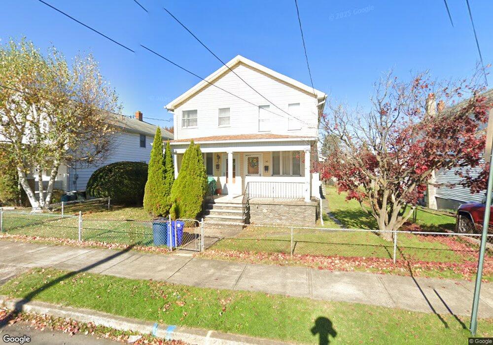
42 W Union St Nanticoke, PA 18634
Estimated Value: $125,048 - $162,000
--
Bed
--
Bath
1,313
Sq Ft
$105/Sq Ft
Est. Value
About This Home
This home is located at 42 W Union St, Nanticoke, PA 18634 and is currently estimated at $138,262, approximately $105 per square foot. 42 W Union St is a home located in Luzerne County with nearby schools including Kennedy Early Childhood Center, Nanticoke Area Elementary Center Center, and Greater Nanticoke Area Senior High School.
Ownership History
Date
Name
Owned For
Owner Type
Purchase Details
Closed on
Aug 1, 2011
Sold by
Badurka Bruno S and Budurka Rosemarie
Bought by
Bombe Dorothy J
Current Estimated Value
Home Financials for this Owner
Home Financials are based on the most recent Mortgage that was taken out on this home.
Original Mortgage
$35,200
Interest Rate
4.51%
Mortgage Type
New Conventional
Create a Home Valuation Report for This Property
The Home Valuation Report is an in-depth analysis detailing your home's value as well as a comparison with similar homes in the area
Home Values in the Area
Average Home Value in this Area
Purchase History
| Date | Buyer | Sale Price | Title Company |
|---|---|---|---|
| Bombe Dorothy J | $44,000 | None Available |
Source: Public Records
Mortgage History
| Date | Status | Borrower | Loan Amount |
|---|---|---|---|
| Closed | Bombe Dorothy J | $35,200 |
Source: Public Records
Tax History Compared to Growth
Tax History
| Year | Tax Paid | Tax Assessment Tax Assessment Total Assessment is a certain percentage of the fair market value that is determined by local assessors to be the total taxable value of land and additions on the property. | Land | Improvement |
|---|---|---|---|---|
| 2025 | $1,307 | $50,100 | $19,600 | $30,500 |
| 2024 | $1,307 | $50,100 | $19,600 | $30,500 |
| 2023 | $1,289 | $50,100 | $19,600 | $30,500 |
| 2022 | $1,230 | $50,100 | $19,600 | $30,500 |
| 2021 | $1,203 | $50,100 | $19,600 | $30,500 |
| 2020 | $1,203 | $50,100 | $19,600 | $30,500 |
| 2019 | $1,183 | $50,100 | $19,600 | $30,500 |
| 2018 | $1,172 | $50,100 | $19,600 | $30,500 |
| 2017 | $1,151 | $50,100 | $19,600 | $30,500 |
| 2016 | $395 | $50,100 | $19,600 | $30,500 |
| 2015 | -- | $50,100 | $19,600 | $30,500 |
| 2014 | -- | $50,100 | $19,600 | $30,500 |
Source: Public Records
Map
Nearby Homes
- 131 W Union St
- 257 E Ridge St
- 200 W Union St
- 246 E Washington St
- 65 W South St
- 162 W Green St
- 317 E Green St
- 0 Enterprise St
- 314 W Main St
- 22 S Walnut St
- 20 Locust St
- 339 E Broad St
- 416 E Washington St
- 333 State St
- 418 E Washington St
- 2B Railroad St
- 0 Middle Rd
- 24 Varsity Dr
- 23 Varsity Dr
- 22 Varsity Dr