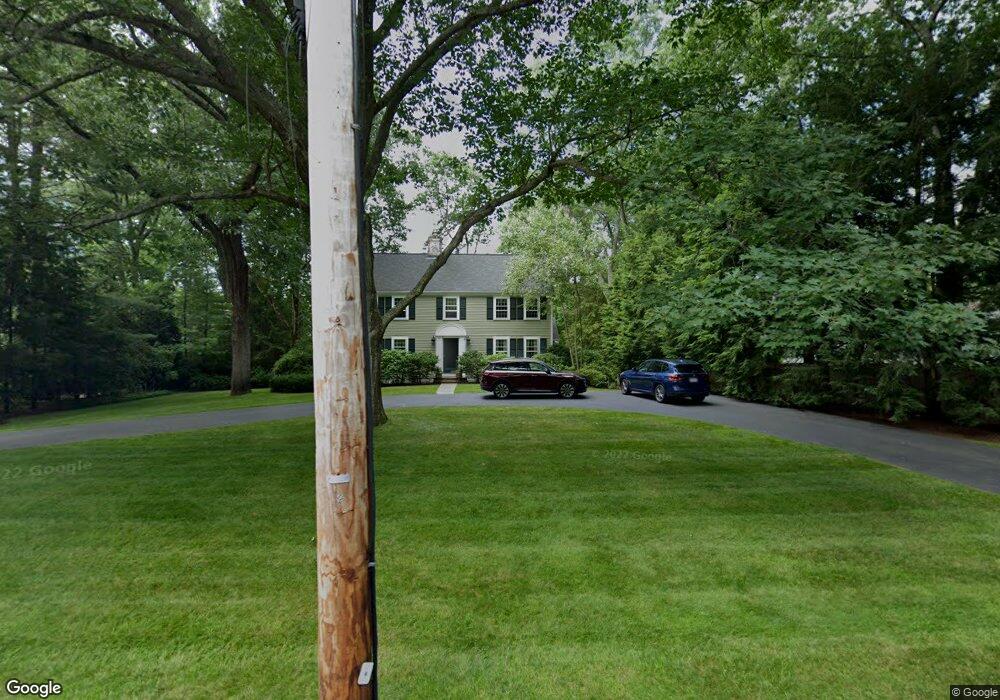
42 Wachusett Rd Wellesley Hills, MA 02481
Estimated Value: $2,382,000 - $2,886,000
4
Beds
3
Baths
3,202
Sq Ft
$817/Sq Ft
Est. Value
About This Home
This home is located at 42 Wachusett Rd, Wellesley Hills, MA 02481 and is currently estimated at $2,616,405, approximately $817 per square foot. 42 Wachusett Rd is a home located in Norfolk County with nearby schools including Ernest F. Upham Elementary School, Wellesley Middle School, and Wellesley Sr High School.
Ownership History
Date
Name
Owned For
Owner Type
Purchase Details
Closed on
Oct 21, 1998
Sold by
42 Wachusett Rd T
Bought by
Fessler Steven D and Fessler Donna J
Current Estimated Value
Home Financials for this Owner
Home Financials are based on the most recent Mortgage that was taken out on this home.
Original Mortgage
$325,000
Outstanding Balance
$70,174
Interest Rate
6.74%
Mortgage Type
Purchase Money Mortgage
Estimated Equity
$2,546,231
Purchase Details
Closed on
Aug 31, 1995
Sold by
Minturn Briqn N and Minturn Mary V
Bought by
Tate Priscilla C
Purchase Details
Closed on
Dec 17, 1993
Sold by
Stone Jason C and Stone Martha L
Bought by
Minturn Brian N and Minturn Mary
Home Financials for this Owner
Home Financials are based on the most recent Mortgage that was taken out on this home.
Original Mortgage
$558,000
Interest Rate
7.03%
Mortgage Type
Purchase Money Mortgage
Create a Home Valuation Report for This Property
The Home Valuation Report is an in-depth analysis detailing your home's value as well as a comparison with similar homes in the area
Home Values in the Area
Average Home Value in this Area
Purchase History
| Date | Buyer | Sale Price | Title Company |
|---|---|---|---|
| Tate Priscilla C | $995,000 | -- | |
| Minturn Brian N | $697,500 | -- | |
| Fessler Steven D | $1,373,750 | -- | |
| Tate Priscilla C | $995,000 | -- | |
| Minturn Brian N | $697,500 | -- |
Source: Public Records
Mortgage History
| Date | Status | Borrower | Loan Amount |
|---|---|---|---|
| Open | Minturn Brian N | $325,000 | |
| Open | Minturn Brian N | $860,000 | |
| Previous Owner | Minturn Brian N | $558,000 |
Source: Public Records
Tax History Compared to Growth
Tax History
| Year | Tax Paid | Tax Assessment Tax Assessment Total Assessment is a certain percentage of the fair market value that is determined by local assessors to be the total taxable value of land and additions on the property. | Land | Improvement |
|---|---|---|---|---|
| 2025 | $21,167 | $2,059,000 | $1,450,000 | $609,000 |
| 2024 | $19,300 | $1,854,000 | $1,261,000 | $593,000 |
| 2023 | $18,183 | $1,588,000 | $1,118,000 | $470,000 |
| 2022 | $18,571 | $1,590,000 | $1,001,000 | $589,000 |
| 2021 | $18,189 | $1,548,000 | $959,000 | $589,000 |
| 2020 | $17,895 | $1,548,000 | $959,000 | $589,000 |
| 2019 | $17,910 | $1,548,000 | $959,000 | $589,000 |
| 2018 | $18,511 | $1,549,000 | $897,000 | $652,000 |
| 2017 | $18,263 | $1,549,000 | $897,000 | $652,000 |
| 2016 | $17,875 | $1,511,000 | $882,000 | $629,000 |
| 2015 | $17,490 | $1,513,000 | $881,000 | $632,000 |
Source: Public Records
Map
Nearby Homes
- 34 Wachusett Rd
- 56 Monadnock Rd
- 62 Monadnock Rd
- 27 Appian Dr
- 60 Monadnock Rd
- 21 Appian Dr
- 30 Wachusett Rd
- 33 Wachusett Rd
- 33 Wachusett Rd Unit 33
- 51 Monadnock Rd
- 59 Monadnock Rd
- 18 Appian Dr
- 15 Appian Dr
- 22 Appian Dr
- 12 Appian Dr
- 28 Appian Dr
- 63 Monadnock Rd
- 43 Monadnock Rd
- 27 Wachusett Rd
- 26 Wachusett Rd