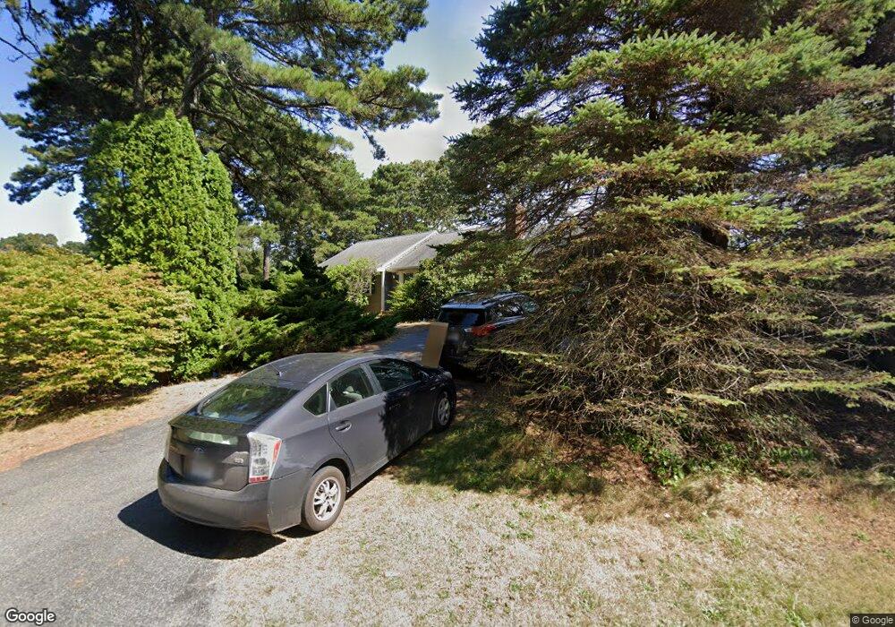
42 Wianno Rd Yarmouth Port, MA 02675
Yarmouth Port NeighborhoodEstimated Value: $712,205 - $774,000
4
Beds
2
Baths
1,501
Sq Ft
$503/Sq Ft
Est. Value
About This Home
This home is located at 42 Wianno Rd, Yarmouth Port, MA 02675 and is currently estimated at $755,301, approximately $503 per square foot. 42 Wianno Rd is a home located in Barnstable County with nearby schools including Dennis-Yarmouth Regional High School.
Ownership History
Date
Name
Owned For
Owner Type
Purchase Details
Closed on
Sep 15, 2004
Sold by
Pope Ebed L and Pasquarello Flavia
Bought by
Pope Ebed L and Pasquarello Flavia
Current Estimated Value
Purchase Details
Closed on
Sep 3, 2003
Sold by
Hogan Gertrude M and Mahoney Joseph
Bought by
Pasquarello Flavia and Pope Ebed L
Home Financials for this Owner
Home Financials are based on the most recent Mortgage that was taken out on this home.
Original Mortgage
$279,200
Interest Rate
6.02%
Mortgage Type
Purchase Money Mortgage
Create a Home Valuation Report for This Property
The Home Valuation Report is an in-depth analysis detailing your home's value as well as a comparison with similar homes in the area
Home Values in the Area
Average Home Value in this Area
Purchase History
| Date | Buyer | Sale Price | Title Company |
|---|---|---|---|
| Pope Ebed L | -- | -- | |
| Pasquarello Flavia | $349,000 | -- |
Source: Public Records
Mortgage History
| Date | Status | Borrower | Loan Amount |
|---|---|---|---|
| Previous Owner | Pasquarello Flavia | $279,200 |
Source: Public Records
Tax History Compared to Growth
Tax History
| Year | Tax Paid | Tax Assessment Tax Assessment Total Assessment is a certain percentage of the fair market value that is determined by local assessors to be the total taxable value of land and additions on the property. | Land | Improvement |
|---|---|---|---|---|
| 2025 | $4,496 | $635,000 | $174,600 | $460,400 |
| 2024 | $4,242 | $574,800 | $151,900 | $422,900 |
| 2023 | $4,368 | $538,600 | $138,000 | $400,600 |
| 2022 | $4,134 | $450,300 | $131,700 | $318,600 |
| 2021 | $3,837 | $401,400 | $131,700 | $269,700 |
| 2020 | $3,922 | $392,200 | $139,400 | $252,800 |
| 2019 | $3,588 | $355,200 | $139,400 | $215,800 |
| 2018 | $3,416 | $332,000 | $116,200 | $215,800 |
| 2017 | $3,275 | $326,800 | $116,200 | $210,600 |
| 2016 | $3,169 | $317,500 | $106,900 | $210,600 |
| 2015 | $2,978 | $296,600 | $102,300 | $194,300 |
Source: Public Records
Map
Nearby Homes
- 44 Stratford Ln
- 43 Canterbury Rd
- 6 Nimble Hill Dr
- 29 Boxwood Cir Unit 29
- 1 Barnacle Rd
- 34 Kates Path
- 34 Kates Path Unit 34
- 64 Kates Path
- 10 Oak Glen Unit 10
- 17 Kates Path Unit A
- 111 Merchant Ave
- 228 Kates Path
- 25 Oak Glen
- 25 Oak Glen Village Unit 25
- 7 Forest Gate Unit 7
- 50 John Hall Cartway
- 50 John Hall Cartway Unit 50
- 13 Covey Dr
- 59 Massachusetts 6a Unit 19-2
- 30 W Woods Cir Unit 30