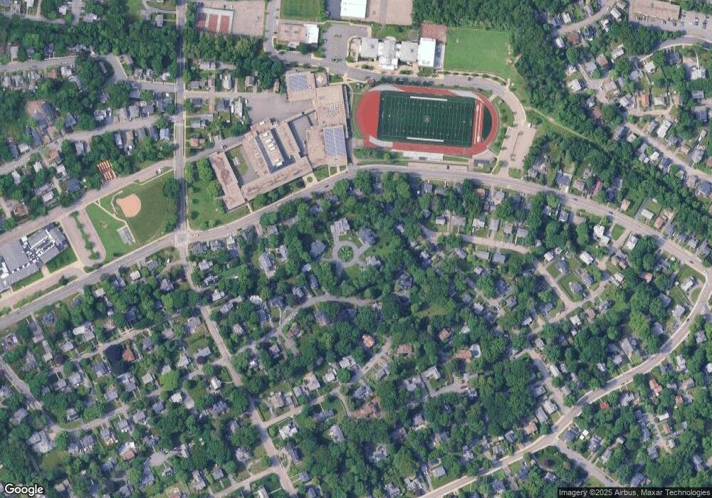
42 Woodleigh Rd Dedham, MA 02026
Oakdale NeighborhoodEstimated Value: $1,811,000 - $2,238,752
5
Beds
5
Baths
4,600
Sq Ft
$440/Sq Ft
Est. Value
About This Home
This home is located at 42 Woodleigh Rd, Dedham, MA 02026 and is currently estimated at $2,022,938, approximately $439 per square foot. 42 Woodleigh Rd is a home located in Norfolk County with nearby schools including Avery, Dedham Middle School, and Dedham High School.
Ownership History
Date
Name
Owned For
Owner Type
Purchase Details
Closed on
Apr 27, 2023
Sold by
Kodiak Black T
Bought by
Mariella T and Nt Tsvcs Llc Tr
Current Estimated Value
Purchase Details
Closed on
Aug 10, 2017
Sold by
William F Doherty S Ir
Bought by
Supreme Development In
Purchase Details
Closed on
Jan 30, 2013
Sold by
Doherty Rt
Bought by
William F Doherty Sr I
Create a Home Valuation Report for This Property
The Home Valuation Report is an in-depth analysis detailing your home's value as well as a comparison with similar homes in the area
Home Values in the Area
Average Home Value in this Area
Purchase History
| Date | Buyer | Sale Price | Title Company |
|---|---|---|---|
| Mariella T | -- | None Available | |
| Supreme Development In | $800,000 | -- | |
| William F Doherty Sr I | -- | -- |
Source: Public Records
Tax History Compared to Growth
Tax History
| Year | Tax Paid | Tax Assessment Tax Assessment Total Assessment is a certain percentage of the fair market value that is determined by local assessors to be the total taxable value of land and additions on the property. | Land | Improvement |
|---|---|---|---|---|
| 2025 | $25,385 | $2,011,500 | $436,900 | $1,574,600 |
| 2024 | $24,048 | $1,923,800 | $380,100 | $1,543,700 |
| 2023 | $21,678 | $1,688,300 | $361,900 | $1,326,400 |
| 2022 | $19,713 | $1,476,600 | $323,100 | $1,153,500 |
| 2021 | $18,729 | $1,370,100 | $349,000 | $1,021,100 |
| 2020 | $13,843 | $1,009,000 | $355,100 | $653,900 |
| 2019 | $4,708 | $332,700 | $332,700 | $0 |
| 2018 | $14,274 | $981,000 | $369,500 | $611,500 |
| 2017 | $14,023 | $950,100 | $340,400 | $609,700 |
| 2016 | $13,173 | $850,400 | $287,000 | $563,400 |
| 2015 | $13,420 | $845,600 | $320,100 | $525,500 |
| 2014 | $13,559 | $843,200 | $320,100 | $523,100 |
Source: Public Records
Map
Nearby Homes
- 163 Whiting Ave
- 56 Mount Vernon St
- 27 Edison Ave
- 155 Mount Vernon St
- 108 High St
- 103 Brookdale Ave
- 600 East St
- 442 High St
- 10 Crowley Ave
- 42 Churchill Place
- 10 Fairview St
- 18 Boulevard Rd
- 3 S Stone Mill Dr Unit 221
- 8 Fort Ln
- 7 S Stone Mill Dr Unit 403
- 16 Mount Hope St
- 83 Mount Hope St
- 36 N Stone Mill Dr Unit 1224
- 325 East St
- 321 East St
- 19 Mariella Way
- 25 Mariella Way
- 15 Mariella Way
- 29 Mariella Way
- 36 Woodleigh Rd
- 147 Whiting Ave
- 141 Whiting Ave Unit SF
- 155 Whiting Ave
- 88 Morse Ave
- 82 Morse Ave
- 76 Morse Ave
- 135 Whiting Ave
- 50 Woodleigh Rd
- 129 Whiting Ave
- 52 Woodleigh Rd
- 52 Woodleigh Rd Unit 1
- 30 Woodleigh Rd
- 49 Woodleigh Rd
- 70 Morse Ave
- 127 Whiting Ave
