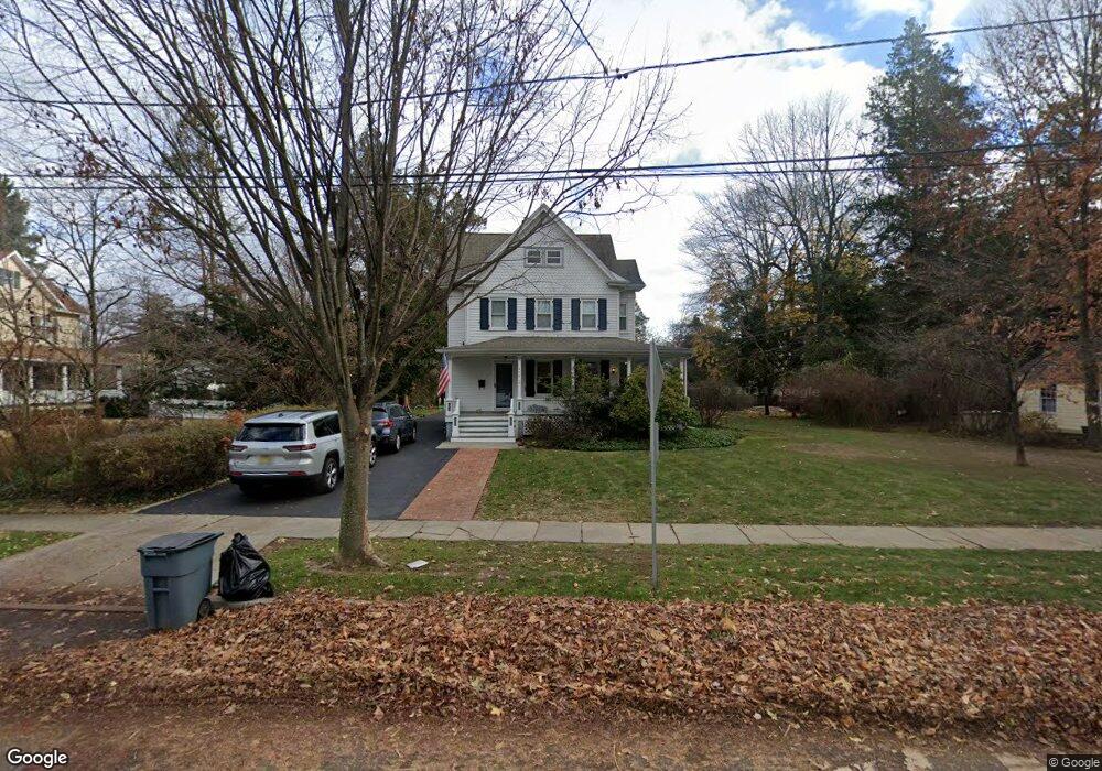
420 1st St Oradell, NJ 07649
Estimated Value: $902,000 - $1,009,000
Studio
--
Bath
2,125
Sq Ft
$446/Sq Ft
Est. Value
About This Home
This home is located at 420 1st St, Oradell, NJ 07649 and is currently estimated at $948,545, approximately $446 per square foot. 420 1st St is a home located in Bergen County with nearby schools including Oradell Elementary School, River Dell Middle School, and River Dell Regional High School.
Ownership History
Date
Name
Owned For
Owner Type
Purchase Details
Closed on
May 11, 2012
Sold by
Esperian Lois and Esperian Lola
Bought by
Sulit John Paul and Sulit Joanne Chiu
Current Estimated Value
Home Financials for this Owner
Home Financials are based on the most recent Mortgage that was taken out on this home.
Original Mortgage
$417,000
Outstanding Balance
$288,647
Interest Rate
3.88%
Mortgage Type
New Conventional
Estimated Equity
$659,898
Purchase Details
Closed on
Apr 22, 1998
Sold by
Sidle Lois and Esperian Lois
Bought by
Esperian Lois
Home Financials for this Owner
Home Financials are based on the most recent Mortgage that was taken out on this home.
Original Mortgage
$206,000
Interest Rate
6.68%
Purchase Details
Closed on
Apr 16, 1998
Sold by
Sidle Brian
Bought by
Sidle Lois and Esperian Lois
Home Financials for this Owner
Home Financials are based on the most recent Mortgage that was taken out on this home.
Original Mortgage
$206,000
Interest Rate
6.68%
Create a Home Valuation Report for This Property
The Home Valuation Report is an in-depth analysis detailing your home's value as well as a comparison with similar homes in the area
Home Values in the Area
Average Home Value in this Area
Purchase History
| Date | Buyer | Sale Price | Title Company |
|---|---|---|---|
| Sulit John Paul | $525,000 | -- | |
| Esperian Lois | -- | Chicago Title Insurance Co | |
| Sidle Lois | -- | Chicago Title Insurance Co |
Source: Public Records
Mortgage History
| Date | Status | Borrower | Loan Amount |
|---|---|---|---|
| Open | Sulit John Paul | $417,000 | |
| Previous Owner | Sidle Lois | $206,000 |
Source: Public Records
Tax History
| Year | Tax Paid | Tax Assessment Tax Assessment Total Assessment is a certain percentage of the fair market value that is determined by local assessors to be the total taxable value of land and additions on the property. | Land | Improvement |
|---|---|---|---|---|
| 2025 | $17,135 | $706,500 | $374,700 | $331,800 |
| 2024 | $16,718 | $629,500 | $338,000 | $291,500 |
| 2023 | $15,873 | $626,600 | $336,700 | $289,900 |
| 2022 | $15,873 | $593,600 | $320,100 | $273,500 |
| 2021 | $15,809 | $565,400 | $304,700 | $260,700 |
| 2020 | $15,506 | $561,200 | $302,300 | $258,900 |
| 2019 | $15,362 | $551,400 | $298,000 | $253,400 |
| 2018 | $14,669 | $534,400 | $299,400 | $235,000 |
| 2017 | $14,977 | $554,300 | $295,200 | $259,100 |
| 2016 | $14,068 | $472,700 | $270,200 | $202,500 |
| 2015 | $13,760 | $472,700 | $270,200 | $202,500 |
| 2014 | $13,160 | $472,700 | $270,200 | $202,500 |
Source: Public Records
Map
Nearby Homes
Your Personal Tour Guide
Ask me questions while you tour the home.