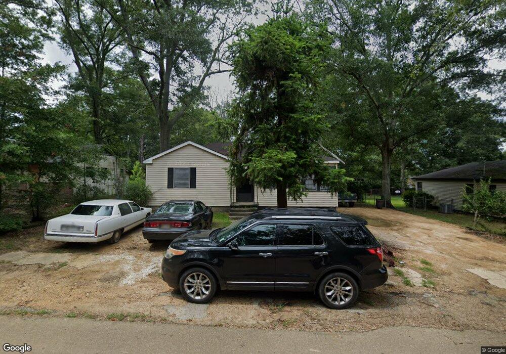
420 25th St McComb, MS 39648
Estimated Value: $62,000 - $94,000
3
Beds
2
Baths
1,381
Sq Ft
$60/Sq Ft
Est. Value
About This Home
This home is located at 420 25th St, McComb, MS 39648 and is currently estimated at $82,377, approximately $59 per square foot. 420 25th St is a home located in Pike County with nearby schools including Higgins Middle School, Otken Elementary School, and Denman Junior High School.
Ownership History
Date
Name
Owned For
Owner Type
Purchase Details
Closed on
Jan 27, 2022
Sold by
Morgan Stanley Abs Capital I Inc Trust
Bought by
Nationwide Community Revitalization Llc
Current Estimated Value
Purchase Details
Closed on
Sep 20, 2006
Sold by
Magee Janice Mcknight
Bought by
Belton Pamela
Home Financials for this Owner
Home Financials are based on the most recent Mortgage that was taken out on this home.
Original Mortgage
$59,500
Interest Rate
9.72%
Mortgage Type
Adjustable Rate Mortgage/ARM
Create a Home Valuation Report for This Property
The Home Valuation Report is an in-depth analysis detailing your home's value as well as a comparison with similar homes in the area
Purchase History
| Date | Buyer | Sale Price | Title Company |
|---|---|---|---|
| Nationwide Community Revitalization Llc | $29,120 | None Listed On Document | |
| Belton Pamela | -- | None Available |
Source: Public Records
Mortgage History
| Date | Status | Borrower | Loan Amount |
|---|---|---|---|
| Previous Owner | Belton Pamela | $59,500 |
Source: Public Records
Tax History
| Year | Tax Paid | Tax Assessment Tax Assessment Total Assessment is a certain percentage of the fair market value that is determined by local assessors to be the total taxable value of land and additions on the property. | Land | Improvement |
|---|---|---|---|---|
| 2025 | $1,143 | $6,425 | $0 | $0 |
| 2024 | $982 | $5,500 | $0 | $0 |
| 2023 | $971 | $5,500 | $0 | $0 |
| 2022 | $957 | $5,500 | $0 | $0 |
| 2021 | $486 | $3,666 | $0 | $0 |
| 2020 | $504 | $3,803 | $0 | $0 |
| 2019 | $475 | $3,803 | $0 | $0 |
| 2018 | $457 | $3,803 | $0 | $0 |
| 2017 | $457 | $3,782 | $0 | $0 |
| 2016 | $453 | $3,782 | $0 | $0 |
| 2015 | $450 | $3,742 | $0 | $0 |
| 2014 | -- | $3,742 | $0 | $0 |
| 2013 | -- | $3,742 | $0 | $0 |
Source: Public Records
Map
Nearby Homes
- 7153 US Highway 98
- 00 US Highway 98
- XXX US Highway 98
- 1208 Harper St
- 429 21st St
- 1012 Harper St
- 823 Edgar St
- 710 Beech St
- 522 2nd St
- ... Berkshire Ln
- 714 3rd St
- 1043 24th St
- 724 Beech St
- 1047 Lenoir Sellers Rd
- 425 S Broadway St
- 703 Pennsylvania Ave
- 115 Scott St
- 415 S 5th St
- 200-208 5th Ave
- 815 11th St
Your Personal Tour Guide
Ask me questions while you tour the home.