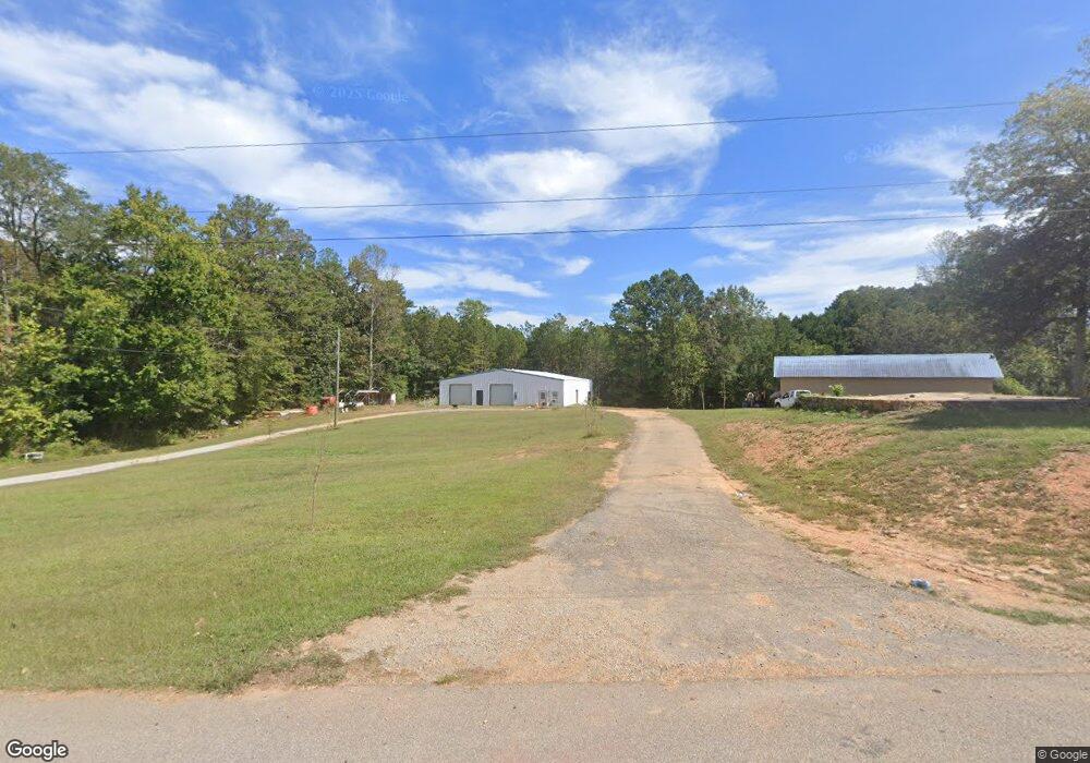
420 4th St W Fruithurst, AL 36262
Estimated Value: $164,000 - $319,000
Studio
1
Bath
1,806
Sq Ft
$145/Sq Ft
Est. Value
About This Home
This home is located at 420 4th St W, Fruithurst, AL 36262 and is currently estimated at $261,405, approximately $144 per square foot. 420 4th St W is a home located in Cleburne County.
Ownership History
Date
Name
Owned For
Owner Type
Purchase Details
Closed on
Nov 5, 2024
Sold by
Johnson Virginia and Casey Carolyn P
Bought by
Nixons Creek Llc
Current Estimated Value
Purchase Details
Closed on
Oct 11, 2011
Sold by
Johnson James M and Johnson Christy N
Bought by
Ford Jimmy K
Home Financials for this Owner
Home Financials are based on the most recent Mortgage that was taken out on this home.
Original Mortgage
$124,755
Interest Rate
5.5%
Mortgage Type
FHA
Create a Home Valuation Report for This Property
The Home Valuation Report is an in-depth analysis detailing your home's value as well as a comparison with similar homes in the area
Purchase History
| Date | Buyer | Sale Price | Title Company |
|---|---|---|---|
| Nixons Creek Llc | $140,000 | None Listed On Document | |
| Ford Jimmy K | $140,000 | -- |
Source: Public Records
Mortgage History
| Date | Status | Borrower | Loan Amount |
|---|---|---|---|
| Previous Owner | Ford Jimmy K | $124,755 |
Source: Public Records
Tax History
| Year | Tax Paid | Tax Assessment Tax Assessment Total Assessment is a certain percentage of the fair market value that is determined by local assessors to be the total taxable value of land and additions on the property. | Land | Improvement |
|---|---|---|---|---|
| 2024 | $574 | $33,660 | $3,050 | $30,610 |
| 2023 | $534 | $30,758 | $2,824 | $27,934 |
| 2022 | $484 | $30,758 | $2,824 | $27,934 |
| 2021 | $484 | $30,758 | $2,824 | $27,934 |
| 2020 | $436 | $28,020 | $2,608 | $25,412 |
| 2019 | $446 | $31,648 | $6,160 | $25,488 |
| 2018 | $446 | $31,648 | $6,160 | $25,488 |
| 2017 | $446 | $31,648 | $6,160 | $25,488 |
| 2016 | $441 | $15,971 | $0 | $0 |
| 2015 | $427 | $155,900 | $0 | $0 |
| 2014 | $427 | $155,900 | $0 | $0 |
| 2013 | $427 | $154,390 | $0 | $0 |
Source: Public Records
Map
Nearby Homes
- 42 County Road 82
- 0 County Road 65 Unit 24627633
- 24499 County Road 49
- 0 County Road 49 Unit 10505681
- 220224 County Road 49 Unit 1
- 0 County Road 49 Unit 21416550
- 22024 County Road 49
- 0 Old Georgia Rd
- 0 County Road 66 Unit 413 Ac
- 1365 County Road 290
- 0 Old Georgia Rd Unit 21428938
- 0 County Road 492 Unit 1 21400533
- 0 County Road 492 Unit 26114166
- 7016 County Road 65
- 0 Frances Rd Unit 10674656
- 11386 U S 78
- 4122 Jacksonville St
- 0 Highway 78 Unit 18172206
- 0 Highway 78 Unit 21438881
- 12891 County Road 66
- 420 4th St W Unit 2.5 AC
- 700 County Road 233
- 487 4th Ave W
- 4Th 4th Ave
- 411 2nd St W
- 315 4th St E
- 306 Northwest Ave
- 580 4th Ave W
- 285 3rd St W
- 83 Taylor St
- 73 Taylor St
- 73 TAYLOR ST 0
- 73 Taylor St
- 2376 County Road 82
- 0 4th St W Unit 7 LOTS 523169
- 230 6th St
- 230 6th St W
- 194 Northwest Ave
- 253 School St
- 201-269 3rd St W
