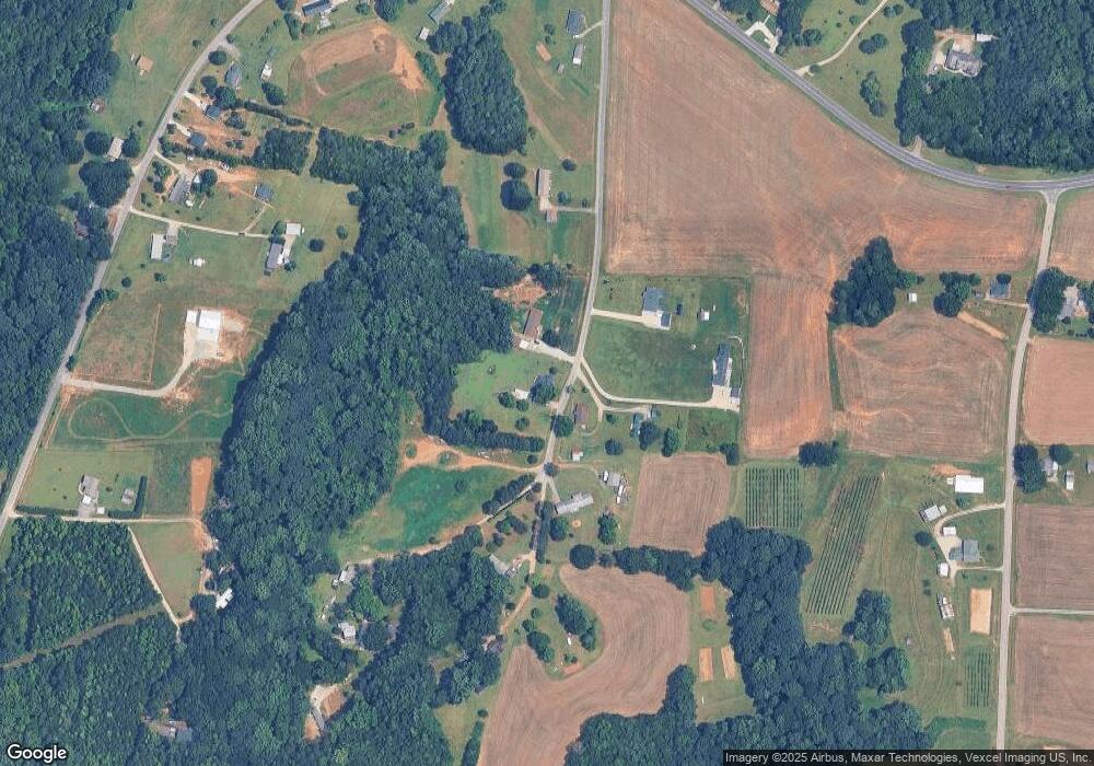
420 Allman Rd Mooresville, NC 28115
Estimated Value: $218,000 - $336,000
--
Bed
1
Bath
1,304
Sq Ft
$190/Sq Ft
Est. Value
About This Home
This home is located at 420 Allman Rd, Mooresville, NC 28115 and is currently estimated at $248,046, approximately $190 per square foot. 420 Allman Rd is a home located in Rowan County with nearby schools including Millbridge Elementary School, China Grove Middle School, and South Rowan High School.
Ownership History
Date
Name
Owned For
Owner Type
Purchase Details
Closed on
Aug 23, 2007
Sold by
Shue Helen J
Bought by
Shearer Virginia G and Shearer Rodney A
Current Estimated Value
Home Financials for this Owner
Home Financials are based on the most recent Mortgage that was taken out on this home.
Original Mortgage
$54,302
Outstanding Balance
$34,364
Interest Rate
6.65%
Mortgage Type
FHA
Estimated Equity
$213,682
Create a Home Valuation Report for This Property
The Home Valuation Report is an in-depth analysis detailing your home's value as well as a comparison with similar homes in the area
Home Values in the Area
Average Home Value in this Area
Purchase History
| Date | Buyer | Sale Price | Title Company |
|---|---|---|---|
| Shearer Virginia G | $81,500 | None Available |
Source: Public Records
Mortgage History
| Date | Status | Borrower | Loan Amount |
|---|---|---|---|
| Open | Shearer Virginia G | $54,302 |
Source: Public Records
Tax History Compared to Growth
Tax History
| Year | Tax Paid | Tax Assessment Tax Assessment Total Assessment is a certain percentage of the fair market value that is determined by local assessors to be the total taxable value of land and additions on the property. | Land | Improvement |
|---|---|---|---|---|
| 2025 | $971 | $143,261 | $38,520 | $104,741 |
| 2024 | $971 | $143,261 | $38,520 | $104,741 |
| 2023 | $971 | $143,261 | $38,520 | $104,741 |
| 2022 | $630 | $83,505 | $25,520 | $57,985 |
| 2021 | $614 | $83,505 | $25,520 | $57,985 |
| 2020 | $614 | $83,505 | $25,520 | $57,985 |
| 2019 | $614 | $83,505 | $25,520 | $57,985 |
| 2018 | $537 | $73,722 | $25,519 | $48,203 |
| 2017 | $537 | $73,722 | $25,519 | $48,203 |
| 2016 | $537 | $73,722 | $25,519 | $48,203 |
| 2015 | $546 | $73,722 | $25,519 | $48,203 |
| 2014 | $539 | $76,152 | $25,519 | $50,633 |
Source: Public Records
Map
Nearby Homes
- 0 Mile Long Rd Unit 41
- 0 Mile Long Rd Unit 44
- 0 Mile Long Rd Unit 45
- 0 Mile Long Rd Unit 43
- 0 Mile Long Rd Unit 42
- 645 Deal Rd
- 0 Deal Rd
- 137 Rain Shadow Dr
- 141 Rain Shadow Dr
- 112 Avensong Ct
- 1770 London Rd
- 5335 Nc 152 W
- 1620 London Rd
- 134 Country Lake Dr
- 159 Riverchase Ln
- 270 Sandhills Ct
- 0 Sorrow Farm Rd
- 256 Caleb Dr
- 249 Sand Hills Ct
- 495 Brumley Rd
- 435 Allman Rd
- 360 Allman Rd
- 425 Allman Rd
- 355 Allman Rd
- 485 Allman Rd
- 320 Allman Rd
- 105 F E Hwy 150 Hwy Unit F
- 415 Corinth Church Rd
- 580 Allman Rd
- 1133 Misty Tunnel Ln
- 170 Allman Rd
- 590 Allman Rd
- 140 Allman Rd
- 455 Corinth Church Rd
- 7640 W Nc 152 Hwy
- 335 Corinth Church Rd
- 7640 W North Carolina 152 Hwy
- 11255 Unity Church Rd
- 11455 Unity Church Rd
- 1025 Misty Tunnel Ln
