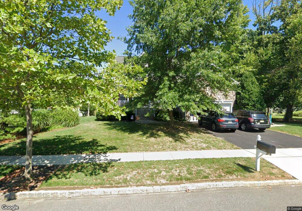
420 Arnold Dr Florence, NJ 08518
Estimated Value: $623,369 - $759,000
Studio
--
Bath
2,586
Sq Ft
$272/Sq Ft
Est. Value
About This Home
This home is located at 420 Arnold Dr, Florence, NJ 08518 and is currently estimated at $702,592, approximately $271 per square foot. 420 Arnold Dr is a home located in Burlington County with nearby schools including Riverfront Middle School, Number 5, Roebling Elementary School, and Florence Twp Mem High School.
Ownership History
Date
Name
Owned For
Owner Type
Purchase Details
Closed on
Sep 29, 2008
Current Estimated Value
Home Financials for this Owner
Home Financials are based on the most recent Mortgage that was taken out on this home.
Original Mortgage
$416,900
Outstanding Balance
$277,230
Interest Rate
6.43%
Mortgage Type
Stand Alone First
Estimated Equity
$425,362
Purchase Details
Closed on
Feb 5, 2008
Sold by
Platinum Developers At Florence I Llc
Bought by
K Hovnanian At Florence I Llc
Create a Home Valuation Report for This Property
The Home Valuation Report is an in-depth analysis detailing your home's value as well as a comparison with similar homes in the area
Home Values in the Area
Average Home Value in this Area
Purchase History
| Date | Buyer | Sale Price | Title Company |
|---|---|---|---|
| -- | $471,800 | -- | |
| K Hovnanian At Florence I Llc | $194,215 | Eastern Title Agency Inc |
Source: Public Records
Mortgage History
| Date | Status | Borrower | Loan Amount |
|---|---|---|---|
| Open | -- | $416,900 | |
| Closed | -- | $416,900 |
Source: Public Records
Tax History
| Year | Tax Paid | Tax Assessment Tax Assessment Total Assessment is a certain percentage of the fair market value that is determined by local assessors to be the total taxable value of land and additions on the property. | Land | Improvement |
|---|---|---|---|---|
| 2025 | $11,220 | $402,600 | $143,000 | $259,600 |
| 2024 | $10,741 | $402,600 | $143,000 | $259,600 |
| 2023 | $10,741 | $402,600 | $143,000 | $259,600 |
| 2022 | $10,512 | $402,600 | $143,000 | $259,600 |
| 2021 | $10,419 | $402,600 | $143,000 | $259,600 |
| 2020 | $10,379 | $402,600 | $143,000 | $259,600 |
| 2019 | $10,286 | $402,600 | $143,000 | $259,600 |
| 2018 | $10,198 | $402,600 | $143,000 | $259,600 |
| 2017 | $10,073 | $402,600 | $143,000 | $259,600 |
| 2016 | $9,880 | $402,600 | $143,000 | $259,600 |
| 2015 | $9,679 | $402,600 | $143,000 | $259,600 |
| 2014 | $9,409 | $402,600 | $143,000 | $259,600 |
Source: Public Records
Map
Nearby Homes
- 1036 Potts Mill Rd
- 213 Birch Hollow Dr Unit 213
- 184 Birch Hollow Dr Unit 58
- 8 Creekwood Dr
- 26 Creekwood Dr
- 2075 Route 130 N
- 256 6th Ave
- 226 4th Ave
- 214 5th Ave
- 1448 Hornberger Ave
- 149 7th Ave
- 132 4th Ave
- 125 4th Ave
- 71 Amboy Ave
- 110 Ridgway Dr
- 110 5th Ave
- 77 Railroad Ave
- 101 Main St
- 32 River Bank Dr
- 17 4th Ave
Your Personal Tour Guide
Ask me questions while you tour the home.