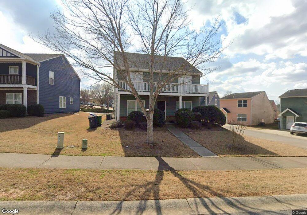
420 Bridgewater Way Athens, GA 30601
North Avenue NeighborhoodEstimated Value: $363,000 - $435,000
5
Beds
3
Baths
1,800
Sq Ft
$215/Sq Ft
Est. Value
About This Home
This home is located at 420 Bridgewater Way, Athens, GA 30601 and is currently estimated at $387,596, approximately $215 per square foot. 420 Bridgewater Way is a home located in Clarke County with nearby schools including Howard B. Stroud Elementary School, Coile Middle School, and Cedar Shoals High School.
Ownership History
Date
Name
Owned For
Owner Type
Purchase Details
Closed on
Mar 28, 2008
Sold by
Griffeth Thurmond Mack
Bought by
Brown Ian and Brown Richard
Current Estimated Value
Home Financials for this Owner
Home Financials are based on the most recent Mortgage that was taken out on this home.
Original Mortgage
$175,848
Outstanding Balance
$111,845
Interest Rate
6.22%
Mortgage Type
FHA
Estimated Equity
$275,751
Purchase Details
Closed on
Nov 14, 2007
Sold by
Not Provided
Bought by
Brown Ian and Brown Richard
Home Financials for this Owner
Home Financials are based on the most recent Mortgage that was taken out on this home.
Original Mortgage
$156,150
Interest Rate
6.36%
Mortgage Type
New Conventional
Purchase Details
Closed on
Nov 1, 2004
Sold by
Bridgewater Properties Llc
Bought by
Mclintack Construction Corporation
Create a Home Valuation Report for This Property
The Home Valuation Report is an in-depth analysis detailing your home's value as well as a comparison with similar homes in the area
Home Values in the Area
Average Home Value in this Area
Purchase History
| Date | Buyer | Sale Price | Title Company |
|---|---|---|---|
| Brown Ian | $177,726 | -- | |
| Brown Ian | $173,542 | -- | |
| Mclintack Construction Corporation | $40,000 | -- |
Source: Public Records
Mortgage History
| Date | Status | Borrower | Loan Amount |
|---|---|---|---|
| Open | Brown Ian | $175,848 | |
| Previous Owner | Brown Ian | $156,150 |
Source: Public Records
Tax History Compared to Growth
Tax History
| Year | Tax Paid | Tax Assessment Tax Assessment Total Assessment is a certain percentage of the fair market value that is determined by local assessors to be the total taxable value of land and additions on the property. | Land | Improvement |
|---|---|---|---|---|
| 2025 | $4,798 | $154,537 | $12,000 | $142,537 |
| 2024 | $4,798 | $149,267 | $12,000 | $137,267 |
| 2023 | $4,665 | $136,533 | $10,400 | $126,133 |
| 2022 | $3,546 | $111,163 | $10,400 | $100,763 |
| 2021 | $2,306 | $78,438 | $9,600 | $68,838 |
| 2020 | $2,181 | $74,732 | $9,600 | $65,132 |
| 2019 | $2,083 | $71,348 | $9,600 | $61,748 |
| 2018 | $2,000 | $68,920 | $9,600 | $59,320 |
| 2017 | $1,773 | $62,220 | $9,600 | $52,620 |
| 2016 | $1,691 | $59,822 | $9,600 | $50,222 |
| 2015 | $1,695 | $59,840 | $9,600 | $50,240 |
| 2014 | $1,698 | $59,847 | $9,600 | $50,247 |
Source: Public Records
Map
Nearby Homes
- 430 Bridgewater Way
- 111 Katydid Dr
- 121 Katydid Dr
- 101 Katydid Dr
- 440 Bridgewater Way
- 131 Katydid Dr
- 421 Bridgewater Way
- 431 Bridgewater Way
- 450 Bridgewater Way
- 141 Katydid Dr
- 441 Bridgewater Way
- 151 Katydid Dr
- 451 Bridgewater Way
- 460 Bridgewater Way
- 106 Katydid Dr
- 112 Katydid Dr
- 100 Katydid Dr
- 161 Katydid Dr
- 118 Katydid Dr
- 461 Bridgewater Way