420 Brookridge Dr Unit 60 Chapin, SC 29036
Estimated Value: $543,781 - $573,000
4
Beds
3
Baths
3,182
Sq Ft
$177/Sq Ft
Est. Value
About This Home
This home is located at 420 Brookridge Dr Unit 60, Chapin, SC 29036 and is currently estimated at $563,195, approximately $176 per square foot. 420 Brookridge Dr Unit 60 is a home located in Lexington County with nearby schools including Lake Murray Elementary School, Chapin Intermediate, and Chapin High School.
Ownership History
Date
Name
Owned For
Owner Type
Purchase Details
Closed on
Mar 25, 2021
Sold by
Hurst Michael David and Hurst Melissa D
Bought by
Stover Derrell B and Longshore Susan
Current Estimated Value
Home Financials for this Owner
Home Financials are based on the most recent Mortgage that was taken out on this home.
Original Mortgage
$421,134
Outstanding Balance
$377,708
Interest Rate
2.73%
Mortgage Type
VA
Estimated Equity
$185,487
Purchase Details
Closed on
Apr 25, 2019
Sold by
Mungo Home Properties Llc
Bought by
Hurst Michael David and Hurst Melissa D
Home Financials for this Owner
Home Financials are based on the most recent Mortgage that was taken out on this home.
Original Mortgage
$354,570
Interest Rate
4.3%
Mortgage Type
New Conventional
Purchase Details
Closed on
Nov 28, 2018
Sold by
Mungo Homes Inc
Bought by
Mungo Homes Properties Llc
Create a Home Valuation Report for This Property
The Home Valuation Report is an in-depth analysis detailing your home's value as well as a comparison with similar homes in the area
Home Values in the Area
Average Home Value in this Area
Purchase History
| Date | Buyer | Sale Price | Title Company |
|---|---|---|---|
| Stover Derrell B | $406,500 | None Available | |
| Hurst Michael David | $373,232 | None Available | |
| Mungo Homes Properties Llc | -- | None Available |
Source: Public Records
Mortgage History
| Date | Status | Borrower | Loan Amount |
|---|---|---|---|
| Open | Stover Derrell B | $421,134 | |
| Previous Owner | Hurst Michael David | $354,570 |
Source: Public Records
Tax History Compared to Growth
Tax History
| Year | Tax Paid | Tax Assessment Tax Assessment Total Assessment is a certain percentage of the fair market value that is determined by local assessors to be the total taxable value of land and additions on the property. | Land | Improvement |
|---|---|---|---|---|
| 2024 | $2,679 | $16,260 | $2,400 | $13,860 |
| 2023 | $2,488 | $16,260 | $2,400 | $13,860 |
| 2022 | $2,510 | $16,260 | $2,400 | $13,860 |
| 2020 | $2,414 | $14,929 | $2,400 | $12,529 |
| 2019 | $637 | $1,470 | $1,470 | $0 |
| 2018 | $607 | $1,470 | $1,470 | $0 |
| 2017 | $0 | $0 | $0 | $0 |
Source: Public Records
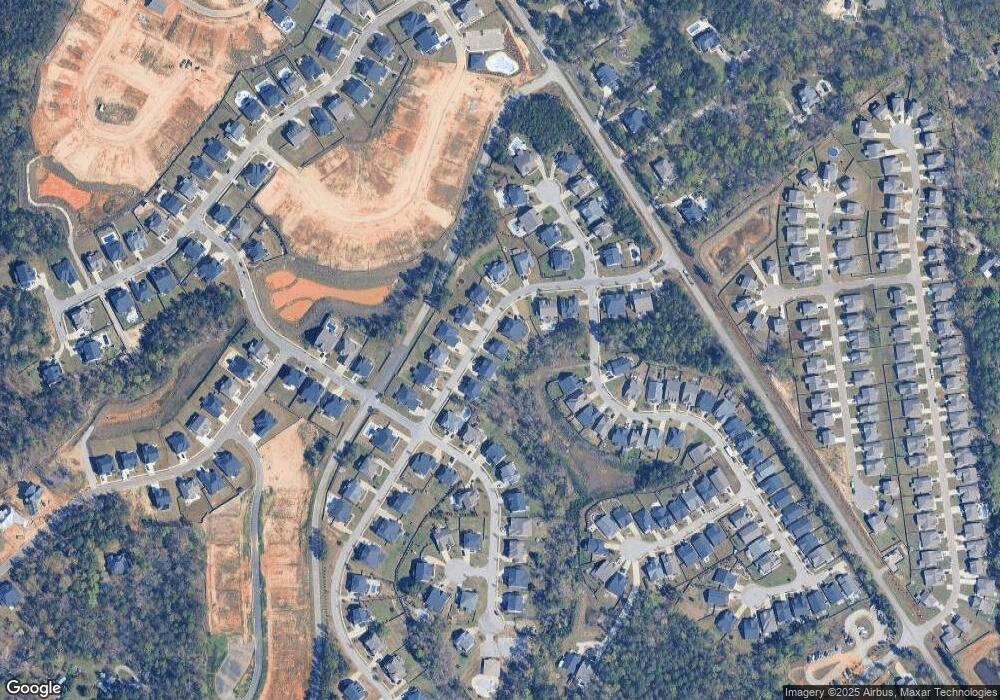
Map
Nearby Homes
- 417 Brookridge Dr
- 450 Brookridge Dr Unit LOT 55
- 454 Brookridge Dr
- 2124 Ludlow Place
- 516 Mitscher Way
- 2130 Ludlow Place
- 2347 Hadley Crossing
- 2351 Hadley Crossing
- 2355 Hadley Crossing
- 2348 Hadley Crossing
- 2344 Hadley Crossing
- 533 Mitscher Way
- 3031 Chilmark Rd
- 143 Doolittle Dr
- 3010 Chilmark Rd
- 306 Rising Stream Way
- 302 Rising Stream Way
- 310 Rising Stream Way
- 314 Rising Stream Way
- 515 Pine Log Run
- 420 Brookridge Dr
- 424 Brookridge Dr Unit 59
- 424 Brookridge Dr
- 416 Brookridge Dr
- 412 Brookridge Dr
- 434 Brookridge Dr
- 425 Brookridge Dr
- 421 Brookridge Dr
- 413 Brookridge Dr
- 720 Xander Way
- 720 Xander Way Unit 143
- 440 Brookridge Dr
- 429 Brookridge Dr
- 724 Xander Way
- 724 Xander Way Unit 142
- 511 Nantucket Way Unit 65
- 511 Nantucket Way
- 503 Nantucket Way
- 503 Nantucket Way Unit 63
- 507 Nantucket Way