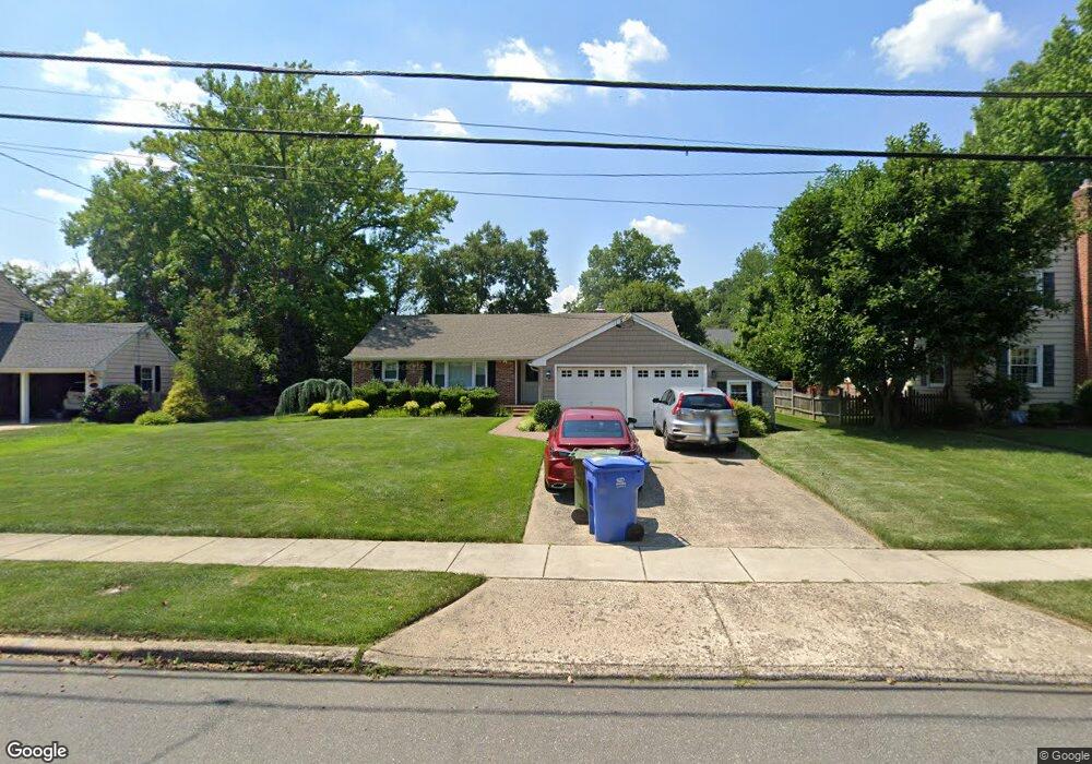
420 Burning Tree Rd Cherry Hill, NJ 08034
Estimated Value: $504,000 - $577,000
3
Beds
2
Baths
1,781
Sq Ft
$302/Sq Ft
Est. Value
About This Home
This home is located at 420 Burning Tree Rd, Cherry Hill, NJ 08034 and is currently estimated at $538,003, approximately $302 per square foot. 420 Burning Tree Rd is a home located in Camden County with nearby schools including A. Russell Knight Elementary School, John A Carusi Middle School, and Cherry Hill High-West High School.
Ownership History
Date
Name
Owned For
Owner Type
Purchase Details
Closed on
Aug 27, 2012
Sold by
Morales Roberto and Morales Jennifer E
Bought by
Longo Jospeh S and Longo Linda M
Current Estimated Value
Purchase Details
Closed on
Oct 31, 2008
Sold by
Renner John
Bought by
Morales Roberto and Morales Jennifer E
Home Financials for this Owner
Home Financials are based on the most recent Mortgage that was taken out on this home.
Original Mortgage
$188,000
Interest Rate
6.11%
Mortgage Type
Unknown
Create a Home Valuation Report for This Property
The Home Valuation Report is an in-depth analysis detailing your home's value as well as a comparison with similar homes in the area
Home Values in the Area
Average Home Value in this Area
Purchase History
| Date | Buyer | Sale Price | Title Company |
|---|---|---|---|
| Longo Jospeh S | $267,000 | Integrity Title Agency Inc | |
| Morales Roberto | $235,000 | -- |
Source: Public Records
Mortgage History
| Date | Status | Borrower | Loan Amount |
|---|---|---|---|
| Previous Owner | Morales Roberto | $188,000 |
Source: Public Records
Tax History
| Year | Tax Paid | Tax Assessment Tax Assessment Total Assessment is a certain percentage of the fair market value that is determined by local assessors to be the total taxable value of land and additions on the property. | Land | Improvement |
|---|---|---|---|---|
| 2025 | $10,492 | $235,300 | $74,800 | $160,500 |
| 2024 | $9,887 | $235,300 | $74,800 | $160,500 |
| 2023 | $9,887 | $235,300 | $74,800 | $160,500 |
| 2022 | $9,614 | $235,300 | $74,800 | $160,500 |
| 2021 | $9,645 | $235,300 | $74,800 | $160,500 |
| 2020 | $9,527 | $235,300 | $74,800 | $160,500 |
| 2019 | $9,523 | $235,300 | $74,800 | $160,500 |
| 2018 | $9,497 | $235,300 | $74,800 | $160,500 |
| 2017 | $9,367 | $235,300 | $74,800 | $160,500 |
| 2016 | $9,243 | $235,300 | $74,800 | $160,500 |
| 2015 | $8,992 | $229,900 | $74,800 | $155,100 |
| 2014 | $8,789 | $229,900 | $74,800 | $155,100 |
Source: Public Records
Map
Nearby Homes
- 418 Sherry Way
- 113 White Oak Rd
- 21 Teak Ct
- 121 Europa Blvd
- 1324 Beaverbrook Dr
- 116 Pine Valley Rd
- 324 Tuvira Ln
- 115 Courtland Rd
- 1840 Frontage Rd Unit 1103
- 1121 Winding Dr
- 405 Barclay Towers
- 2 Collage Ct
- 7 Cameo Ct
- 124 Edison Rd
- 210 Philellena Rd
- 4514 Champions Run Unit 4514
- 4543 Champions Run
- 51 Edison Rd
- 701 Society Hill Blvd Unit A
- 302 Provincetown Rd
- 416 Burning Tree Rd
- 424 Burning Tree Rd
- 439 Covered Bridge Rd
- 435 Covered Bridge Rd
- 443 Covered Bridge Rd
- 412 Burning Tree Rd
- 421 Burning Tree Rd
- 428 Burning Tree Rd
- 431 Covered Bridge Rd
- 447 Covered Bridge Rd
- 417 Burning Tree Rd
- 408 Burning Tree Rd
- 451 Covered Bridge Rd
- 425 Covered Bridge Rd
- 429 Burning Tree Rd
- 457 Covered Bridge Rd
- 413 Burning Tree Rd
- 432 Saint Johns Dr
- 461 Covered Bridge Rd
- 440 Covered Bridge Rd
Your Personal Tour Guide
Ask me questions while you tour the home.